LOWER FALLS CAMPGROUND, WA Campground Reservation, Info, Images, Map, Directions

LOWER FALLS CAMPGROUND, Washington Campground Images, Info & Reservations

Directions

From Portland or Seattle take I-5 to exit 21 for WA-503 E toward Woodland/Cougar. WA-503 will turn into FR 90, turn right at the Pine Creek Visitor Center. Lower Falls Campground will be on your right hand side after you pass mile marker 28 on FR 90.

Phone

509-395-3400

Activities

BIKING, CAMPING, HIKING

Keywords

Related Link(s)

Rec Area Info & Images

Washington State Road Conditions

Washington State Tourism

Overview

Lower Falls Campground is located in the Gifford Pinchot National Forest. Visitors enjoy several waterfalls in the area and access to the Lewis River Trail. The campground is open from May through October.

Recreation

Near the campground are several trailheads that provide visitors with a variety of recreational opportunities. There are hiking trails, mountain bike trails, horse trails, and motorcycle trails within 10 miles of the campground.

The Lewis River contains rainbow, cutthroat, and bull trout as well as whitefish. The area is catch and release only.

Facilities

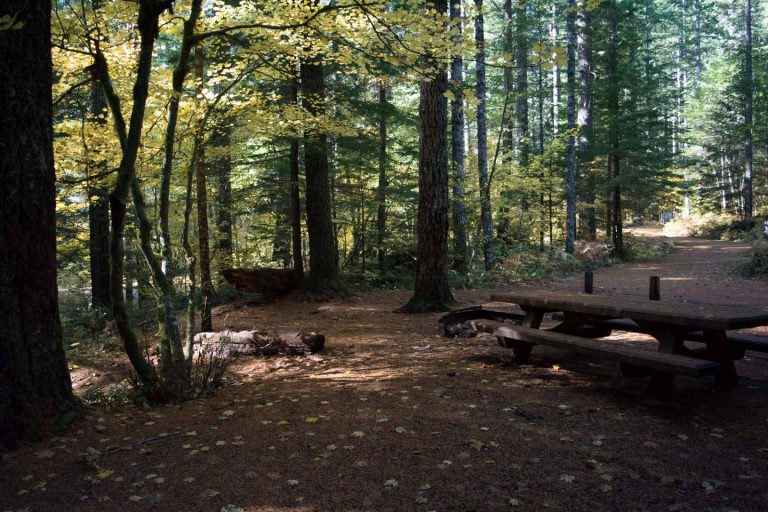
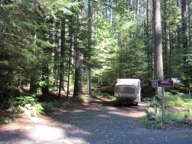
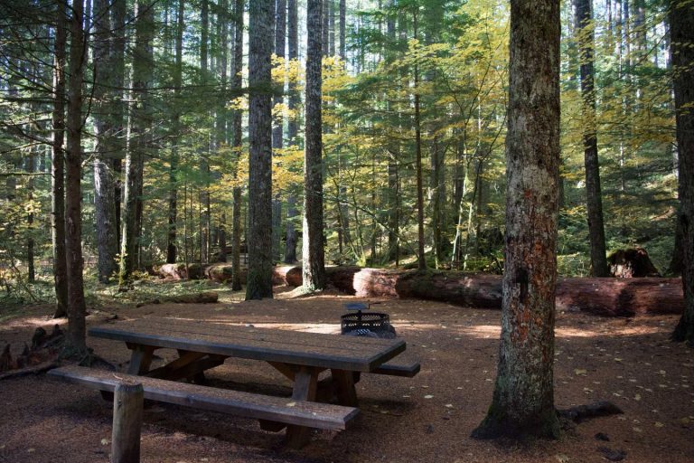
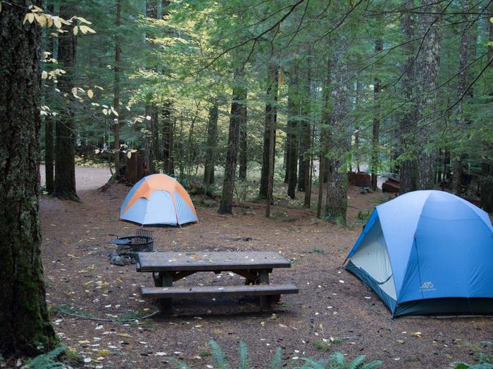
Lower Falls Campground offers 43 standard sites that accommodate both tents and RVs (60 feet), but no hookups are available. Picnic tables and campfire rings with grills are provided, as are composting toilets and drinking water.

Natural Features

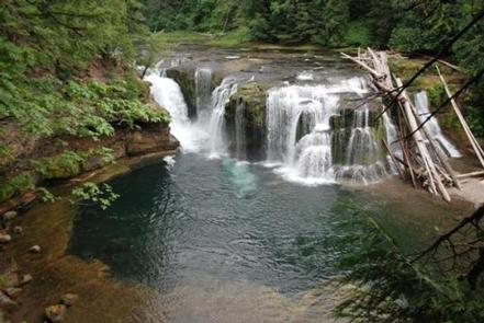
The campground is just off the Lewis River at an elevation of 1,300 feet. The campground road is paved and shaded by large evergreen trees. There are trails down to the Lewis River and falls area.

Nearby Attractions

There are falls viewing opportunities at Lower Lewis River Falls, Curly Creek Falls, Big Creek Falls, and Middle Falls, all within 15 minutes of the campground.

Hiking trails within 10 miles include trail #31 Lewis River, Trail #5 Quartz Creek, and trail #80 Wright Meadows.

Reservation

More from CampingHiking.net:

JUMBO CAMPGROUND, Colorado Campground Images, Info & Reservations

Directions From Mesa, Colo., travel south on State Route 65 for about 13 miles to the campground sign. Turn right into the campground. Phone 970-268-5579 Activities BIKING, BOATING, CAMPING, FISHING, HIKING, WILDLIFE VIEWING Keywords JCCO,Mesa Lakes,Jumbo Campground,Jumbo,Grand Mesa Related Link(s) Rec Area Info & Images Colorado State Road Conditions Forest

COUGAR ROCK GROUP CAMPGROUND, Washington Campground Images, Info & Reservations

Directions Cougar Rock Campground is located 14 miles east of Ashford, Washington, on State Route 706/Paradise Road. Phone 360-569-2211 Activities CAMPING, INTERPRETIVE PROGRAMS, HIKING, PICNICKING, VISITOR CENTER, DAY USE AREA Keywords CG82,Mount Rainier National Park Related Link(s) Rec Area Info & Images Washington State Tourism Washington State Road Conditions Overview

GUINAVAH, Utah Campground Images, Info & Reservations

Directions In Logan, UT, at intersection of US 89 and 91 (Main and 400 No.), turn east onto US. 89 North (Logan Canyon National Scenic Byway) 7.6 miles to campground sign. Turn right into campground. Phone LOGAN RANGER DISTRICT 435-755-3620 OR UTAH RECREATION COMPANY 385-273-1100 Activities BIKING, CAMPING, FISHING, HIKING,

GIRARD RIDGE LOOKOUT, California Campground Images, Info & Reservations

Directions From Redding California, or Mt. Shasta, take Interstate 5 towards Castle Crags State Park. Exit the Interstate at the Soda Creek exit 726. From here, the lookout is approximately 7.5 miles over mostly dirt road. Head east towards the Sacramento River. Cross the bridge over the river and veer

KEYSTONE RANGER STATION, Wyoming Campground Images, Info & Reservations

Directions From Laramie, take Highway 130 west, then State Highway 11 to Albany, WY. The cabin is located 8 miles west of Albany, on Forest Service Road 542. In the winter, access to the cabin is 8 miles by snowmobile, skiing or snowshoeing from Albany Snowmobile Parking Lot. Phone 307-745-2300