

Directions
From Orangeville, Utah, proceed west on Utah Highway 29 for approximately 10 miles to Joes Valley Reservoir. Continue on Hwy 29 around the north end of the reservoir to Forest Road 0144 where a sign directs you to Orange Olsen Administrative Site. Turn right (north) on this gravel road for 200 feet. The Orange Olsen dwelling is to your left, Orange Olsen cabin is straight ahead.
Phone
435-384-2372
Activities
BOATING, CAMPING, FISHING
Keywords
Related Link(s)
Overview
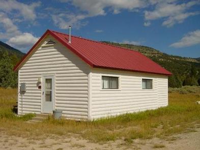
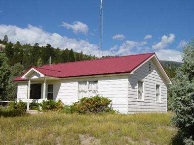
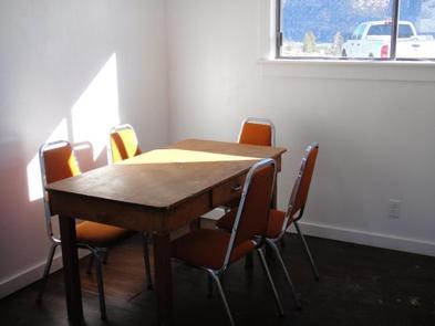
Orange Olsen is located at 7,000 feet with a panoramic view of Joes Valley. The dwelling and cabin offer full amenities including solar powered lighting. The dwelling can accommodate six visitors while the cabin sleeps four.
Recreation
Joes Valley Reservoir offers boating and fishing opportunities just minutes away. A boat ramp is available on the east and west shorelines. Joes Valley Campground is located immediately south of Orange Olsen, with Joes Valley Group Pavilion only a mile away.
Facilities
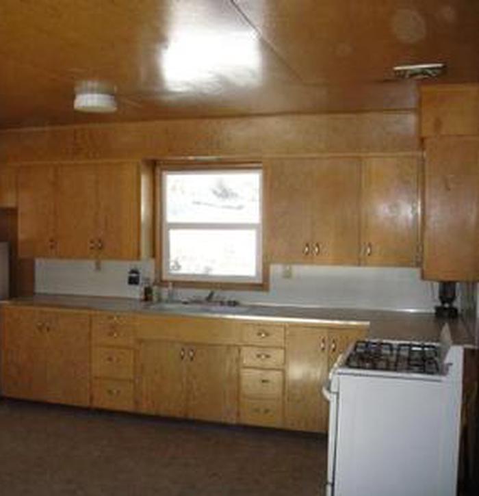
The Orange Olsen Dwelling and Cabin come equipped with flush restrooms, showers, and solar powered lights. The kitchens are equipped with sinks, stove and simple cookware (pots/pans, silverware, utensils). These facilities are not equipped with refrigerators so visitors will need to plan on cooling their perishables in other ways.
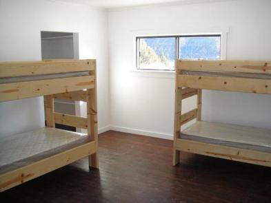
The Orange Olsen Dwelling has two bedrooms. One bedroom has two single twin sized beds with mattresses and the second bedroom has two sets of bunk beds with mattresses. You are allowed to have a boat trailer or utility trailer on site, however, it may be a tight fit if other vehicles are present. No RV/Motorhomes/Travel Trailers are permitted at this site.
The Orange Olsen Cabin has one bedroom including two sets of bunk beds with mattresses. You are allowed to have a boat trailer or utility trailer on sites. No RV/Motorhomes/Travel Trailers are permitted at this site.
Natural Features
The dwelling and cabin are set in an open sagebrush meadow interspersed with pinyon-juniper and ponderosa pine trees. There is no shade available.
Nearby Attractions
Renowned bouldering opportunities abound in nearby Straight and Cottonwood Canyons. Popular mountain fisheries at Grassy Lake, Pete’s Hole, and Potters Ponds are all within 10 miles of Orange Olsen. The 370-mile Arapeen Off-Highway Vehicle Trail System can be accessed directly from the dwelling and cabin.