
Directions
From Martin City, Montana, turn off Highway 2 and continue on the main road through the town heading south. This road becomes the East Side Reservoir Road and is paved for the first 3 miles. Continue for about 20 miles to the campground.
Phone
406-752-7924 FOR RESERVATIONS CALL: 1-877-444-6777
Activities
BOATING, CAMPING, FISHING, HIKING, WILDLIFE VIEWING, SWIMMING SITE
Keywords
Related Link(s)
Overview
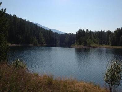
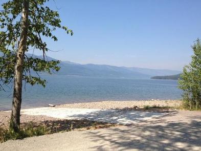
Riverside Campground is located high in the Rocky Mountains, less than 30 miles from the Continental Divide, surrounded by towering mountain peaks. Visitors can expect a variety of recreational activities, including fishing, boating, swimming, hiking, exploring and big game hunting.
Recreation
Boating is popular on the 27,750-acre reservoir, and a concrete boat ramp is accessible from within the campground. Swimming and fishing are also popular pastimes, and anglers can expect to catch a variety of fish, including cutthroat trout.
Facilities
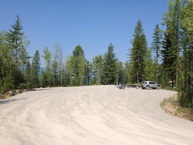
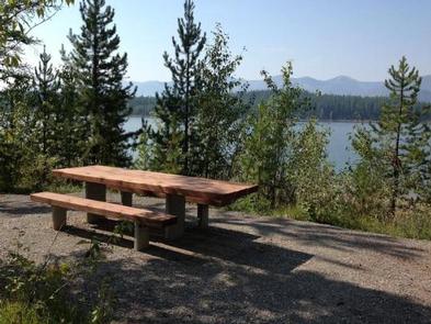
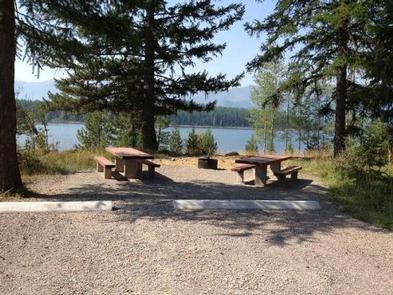
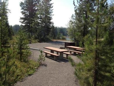
The campground offers three overnight sites (2 double occupancy and 1 single occupancy) for tent and RV camping. Each is equipped with tables and campfire rings with grills. Accessible vault toilets are provided. There is no water or garbage service at this facility. Water may be found 1 mile south at Murray Bay Campground. Though not a fill station, there are 2 hand pumps available for drinking water. Campground roads and parking spurs are gravel. An on-site host is available at nearby Murray Bay Campground to answer any questions about the facility and surrounding area.
Natural Features
The campground is situated along the massive Hungry Horse Reservoir, which was dammed to provide hydroelectric power and flood control to the area. It is the 10th highest dam in the United States and provides a stunning backdrop.
Nearby Attractions
Riverside Campground is approximately 31 miles southwest of the West Glacier entrance to Glacier National Park.
Charges & Cancellations
Cancellations made within 14 days of arrival will be “considered” for a refund, by the concessionaire, of Camping fees only and will automatically forfeit the first nights fee. Day of Arrival cancellations must be turned in by calling 1-877-444-6777, then followed up with a call to Cheryl at 406-752-PWAI (7924) or 406-404-4164 to get the information to the campground and to be considered for any refund.