
Directions
Chiricahua National Monument is 45 minutes southeast of Willcox and 2 hours southeast of Tucson, AZ. From I-10 east 1. Take exit 336 toward Willcox for 4 miles. 2. Turn left onto Arizona 186 E (E Maley Street) for 31 miles. 3. Turn left onto Arizona 181 E for 4 miles. 4. Veer left onto E Bonita Canyon Road and into Chiricahua National Monument. The campground is 2.5 miles ahead on your left. From I-10 west 1. Take exit 344 toward Willcox. 2. Continue on N Haskell Ave for 5 miles. 3. Turn right onto Arizona 186 E (E Maley Street) for 31 miles. 3. Turn left onto Arizona 181 E for 4 miles. 4. Veer left onto E Bonita Canyon Road and into Chiricahua National Monument. The campground is 2.5 miles ahead on your left.
Phone
520-824-3560
Activities
HISTORIC & CULTURAL SITE, CAMPING, HIKING, PICNICKING, VISITOR CENTER, WILDERNESS, DAY USE AREA, PHOTOGRAPHY, STAR GAZING, BIRDING, SCENIC DRIVE
Keywords
Chiricahua National Monument Campground,Bonita Campground,Chiricahua Campground
Related Link(s)
Overview
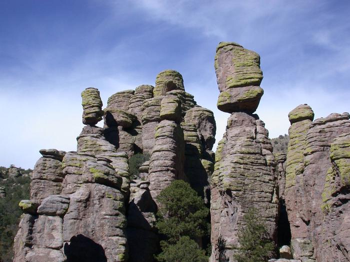
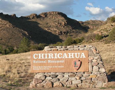
Bonita Canyon Campground is located in Chiricahua National Monument, known as the “Wonderland of Rocks.” Visitors love Chiricahua for its stunning rock columns (hoodoos), hiking trails, and birding opportunities.
Recreation
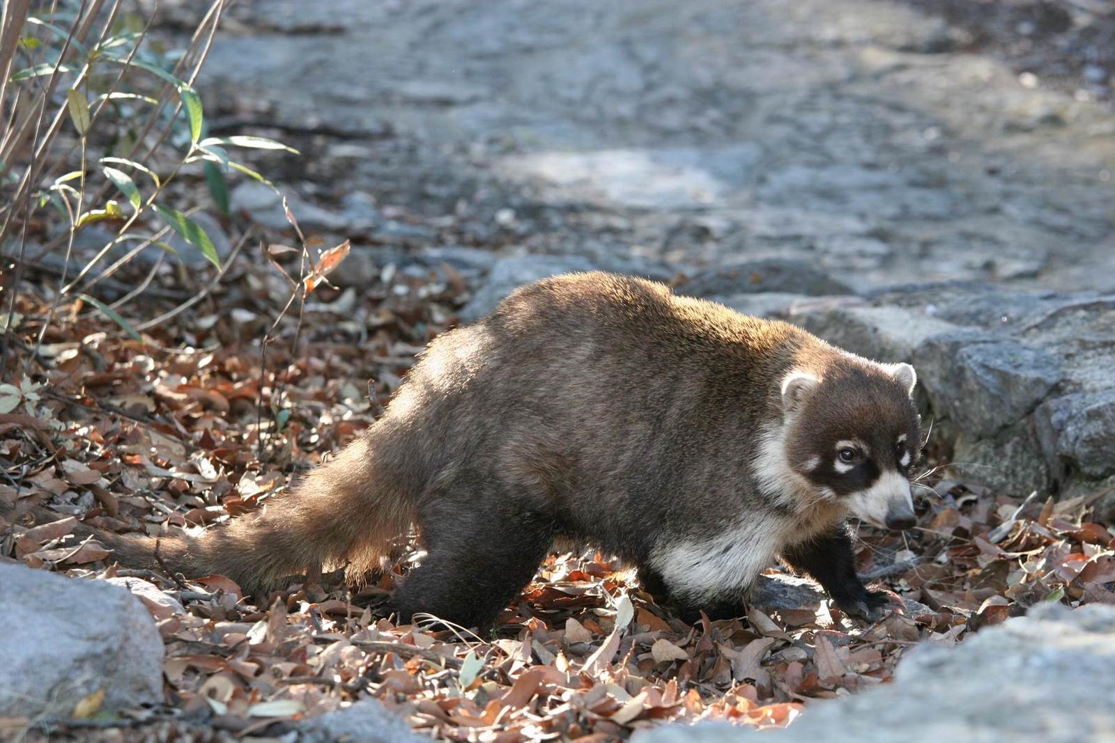
Chiricahua National Monument offers over 17 miles of hiking trails; a complimentary shuttle is available to transport hikers to several trailheads each morning. Birders frequent Chiricahua for the diversity of species that reside in or migrate through the area. The park also offers sweeping views of the surrounding valleys and ranges which make for stunning photography opportunities.
Facilities
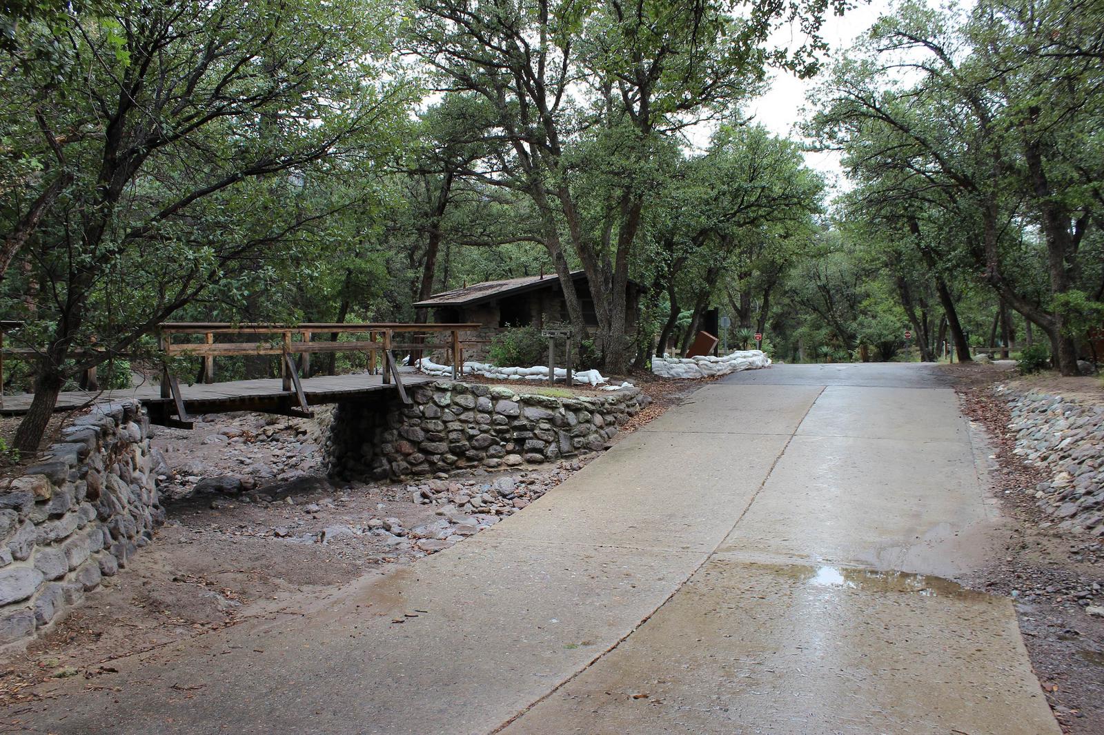
Originally built by the young men of the Civilian Conservation Corps, there are 25 basic sites and one larger group site available at Bonita Canyon Campground. Flush toilets and potable water are provided (no filling of water tanks) and all campers have access to food storage lockers. All sites have a picnic table, grill, tent pad, and the group site has fire pit. Utility hookups are not provided, with the exception of one site reserved for ADA access that has electricity available for medical use. No dump station. Sites are narrow and will not accommodate side by side parking. Be sure length of campsite is long enough for both your trailer and vehicle. Some sites are difficult to back into due to sharp angles. Although most trails are open to horseback riding, there isn’t any overnight camping for horses and horsetrailers. See the Coronado National Forest. no hanging of hammocks or any items from trees or other vegetation. Quiet hours are from 8 pm to 8 am; no generator use is permitted during quiet hours.
Natural Features
Set in a pine and oak forest, Bonita Canyon Campground provides an atmosphere of relaxation. Most campsites are well shaded, and have a good view of the creekbed (usually dry) that runs through the campground.
Nearby Attractions
The park contains an historic district, and offers tours of Faraway Ranch, a 1900s guest ranch. The visitor center is open daily, closed December 25, and provides interactive exhibits about the cultural and natural history of the park, plus a Western National Parks Association store. For more information about the park, visit www.nps.gov/chir .
Charges & Cancellations
The Group Tent Site is available to groups of 8-24 people. The minimum fee per night is $24 and the maximum fee per night is $72.