
Directions
From Cottage Grove, take exit 174 on Interstate 5, then take Row River Road #2400 east 19 miles to Layng Creek Road #17. Turn left (northeast) on Road #17 and continue for 2 miles until you reach Rujada Campground, located on the right, across Layng Creek.
Phone
541-767-5000
Activities
CAMPING, FISHING, HIKING, SWIMMING
Keywords
Related Link(s)
Overview
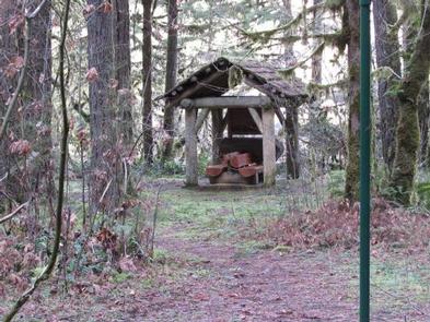
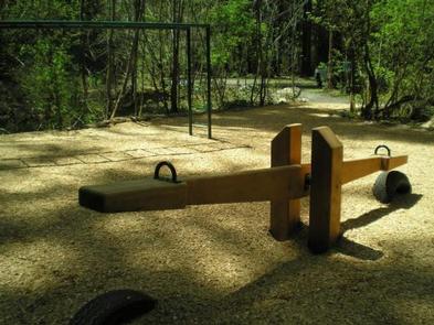
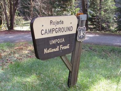
Rujada Campground is located 21 miles east of Cottage Grove (45 minutes from Eugene) on a riverside terrace above Layng Creek. A favorite site for family picnics and camping, visitors will enjoy shaded campsites with privacy, access to swimming on the banks of Layng Creek and a hike through a rich riparian Douglas fir forest on the Swordfern trail. Check out a historic Civilian Conservation Corps (CCC) shelter and a kid’s playground with obstacles, swing, teeter- totter and monkey bars both located within the campground.
Recreation
Recreational opportunities are plentiful and include hiking, biking, fishing, swimming, and nature viewing. Spirit Falls, Moon Falls, and Pinard Falls Trails are just a few of the local waterfall trails in the area.
Facilities
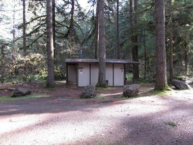
This developed campground offers flush toilets, running water, picnic tables, campfire rings, and garbage collection. A campground host is typically onsite during the summer season. There are 15 sites, 8 are reservable, and 7 are available on a first-come first-serve basis.
Natural Features
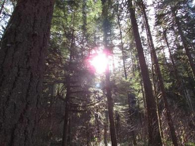
This beautiful and quiet campground located in the Umpqua National Forest sits at approximately 1,200 feet in elevation among Douglas fir, hardwood trees and ferns.
Nearby Attractions
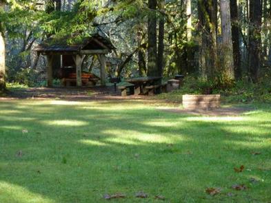
Rujada Day Use Picnic Area is located within the campground and may be reserved. Nearby are three spectacular waterfall trails. Spirit Falls is a short 0.4 mile, more difficult hike to a 60′ waterfall. Moon Falls is an easy, 0.5 mile hike to a 125′ cascading waterfall. Pinard Falls is a 0.6 mile, more difficult hike to a 105′ waterfall. All three hikes are within 10 miles of the campground and can be done within a single day.