
Directions
From Moab, drive 32 miles south on 191 to the junction with the Needles Overlook road. Turn right and travel 6 miles on this road. The campground is on the left hand side of the road.
Phone
435-259-2100
Activities
AUTO TOURING, CAMPING, STAR GAZING
Keywords
Related Link(s)
Overview
The Windwhistle Group Site is ideal for small gatherings looking for a quiet retreat. The parking is limited and you must walk in to the site. Within close proximity to national parks and open space, outdoor enthusiasts will enjoy hiking, mountain biking, and beautiful scenic overlooks. The towns of Moab and Monticello are approximately 45 minutes away and have dining, shopping, sports rentals, tour companies and museums.
Recreation
Situated on the road to the Needles Overlook, this area abounds in hiking, off-highway vehicle and mountain biking options. You are close to the Needles District of Canyonlands where there are numerous hiking and 4WD trails.
Facilities
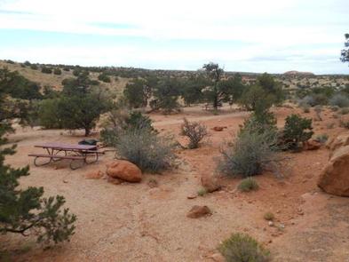
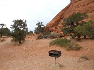
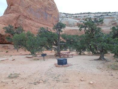
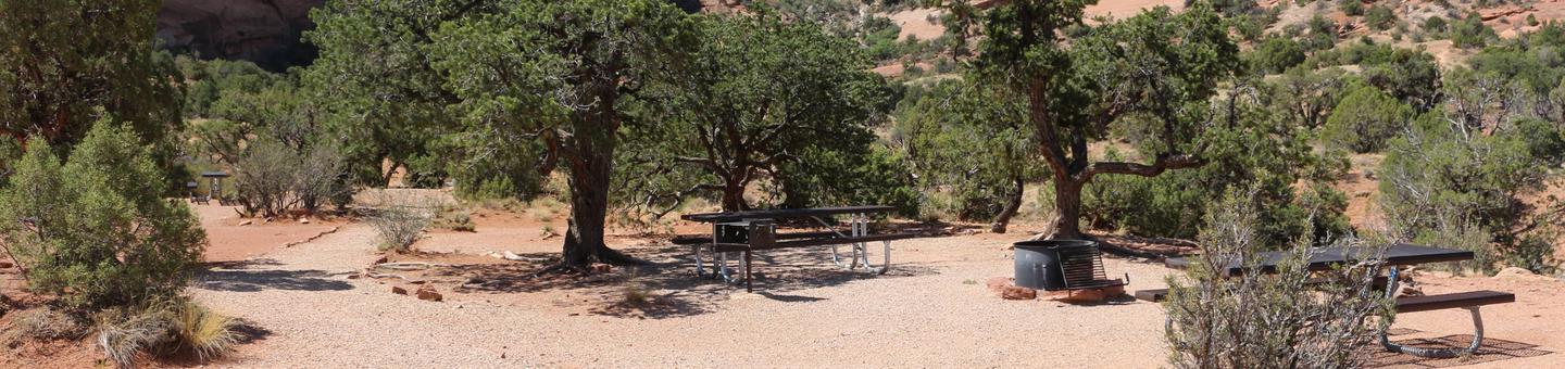
The group area has a fire ring with grate, picnic tables and a nearby vault toilet. This group site does not have a shade shelter, a dump station or electric hook-ups. Water is typically available seasonally (May-September) The group site at Windwhistle is located at the lower end of the campground and is a walk-in site. Parking is limited and not appropriate for large vehicles, RV/motorhomes, pull campers and trailers. Please call the Moab Field Office for more information on vehicle limitations 432-259-2100.
Natural Features
Windwhistle is a wonderful hideaway tucked in the beautiful red rock. This isolated campground is surrounded by cliffs and canyons with great access to viewpoints, vistas and backcountry exploration.
Nearby Attractions
Windwhistle is on the road to the Needles Overlook and Hatch Point. It is close to the Needles District of Canyonlands and the Indian Creek climing area. Wilson Arch, Ken’s Lake and the La Sal Mountain Loop road are all between Windwhistle and Moab.