Directions
From Highway 97: Exit on to SW Jericho Lane and head East for approximately 1.25 miles. Turn right on SW Haystack Drive and proceed approximately 1mile to South Shore Group Campground on the left. From Highway 26: Exit on to Laurel Lane (FS 96) and head west for approximately four miles. Turn right on to SW Haystack Drive and continue approximately 2 miles to South Shore Group Campground on the right.
Phone
541-389-6541
Activities
BOATING, CAMPING, FISHING, PICNICKING, RECREATIONAL VEHICLES, WILDLIFE VIEWING, PHOTOGRAPHY, MOTOR BOAT, KAYAKING, CANOEING, STAR GAZING, NON-MOTORIZED BOATING, SAILBOARDING
Keywords
SOUTH SHORE,Haystack
Related Link(s)
Overview
South Shore Group Campground reservations are no longer accepted through Recreation.gov as of March 2019. Please contact the new managing agency, Crook County Parks and Recreation District, at 541-447-2599 to make your reservations for Willow, Juniper, and Cottonwood campsites at South Shore Campground.
Thank you for visiting Haystack Reservoir.
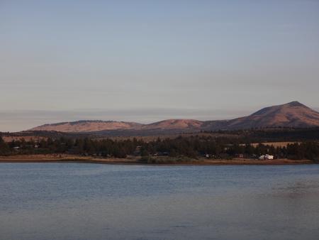
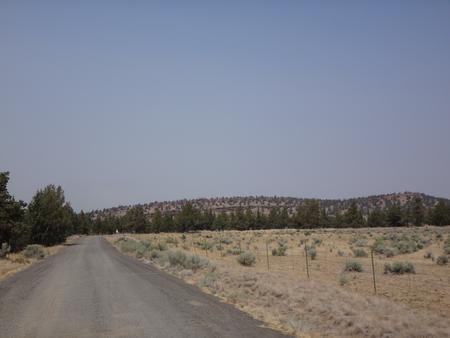
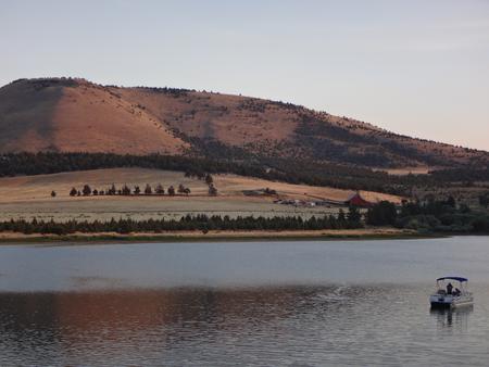
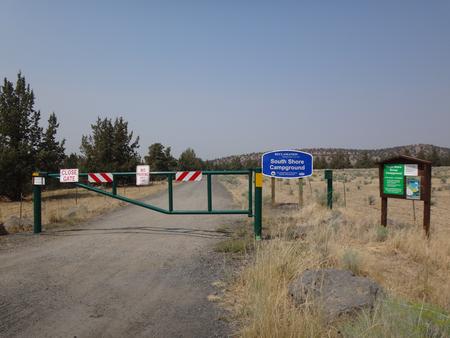
South Shore Group Campground is the only designated group campground at Haystack Reservoir in Central Oregon near Madras, Oregon. There are three group campsites to reserve which can hold 50 people per group site. Each site is primitive so they do not have water, electricity or sewer available. Two vault toilets are located in the campground, and each site has picnic tables and a firering. All campfires are required to be in the firerings at all times. Water is available about .5 miles away at West Shore Campground up the road. Each campsite is private from the other group sites. All roads and campsites are gravel. These campsites are located near the lake with beautiful views of the reservoir and Cascade Mountains. Sites are surrounded by juniper trees, sagebrush and bitterbrush and are an ideal quiet setting for small or large groups wanting a private natural setting on Haystack Lake. Upon arrival, visit the Campground Host at West Shore Campground .5 miles up the road so they can give you check-in instructions, since there is a locked gate at South Shore Campground. The campground is open March through November.
Recreation
Haystack Reservoir is a small and intimate lake very popular for fishing and camping with local visitors along with many traveling and recreating through the sunny Central Oregon area. Haystack Reservoir offers boating, fishing, camping and sightseeing and is easy access only a few miles off of Highway 97. Small motorized boating is allowed. Non-motorized boating is popular for those with canoes and kayaks. Two boat ramps are located nearby at West and East Shore Campgrounds across the lake from South Shore Group Campground. The surrounding Central Oregon area is a destination for a variety of favorite recreation opportunities such as boating, hiking, fishing, camping, mountain biking, rock climbing, horseback riding, hunting and designated Off Highway Vehicle (OHV) trails. Several premier Oregon State Parks are nearby for recreation use such as Smith Rock State Park offering world known rock climbing, and Lake Billy Chinook offering popular camping, boating, fishing, hiking, picnicking, swimming, and water and jet skiing. The Lower Deschutes Wild and Scenic River is located about 30 minutes away, and provides world known fishing and whitewater boating.
Facilities
South Shore Group Campground has three primitive group campsites with picnic tables, campfire rings, and gravel roads and parking lots. Two vault toilets are available in the campground. The group campsites are named Willow, Juniper and Cottonwood with lots of vegetation for privacy screening and close to the lake with great views of the mountains on a sunny day. There are no water, sewer or electric hookups. Water is available .5 miles up the road at West Shore Recreation Area. Once you arrive, check in at West Shore Campground with the Campground Host, and they will give you information for entering South Shore since there is a locked gate at the group campground entrance.
Natural Features
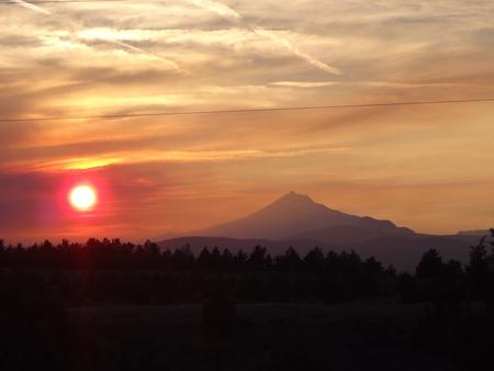
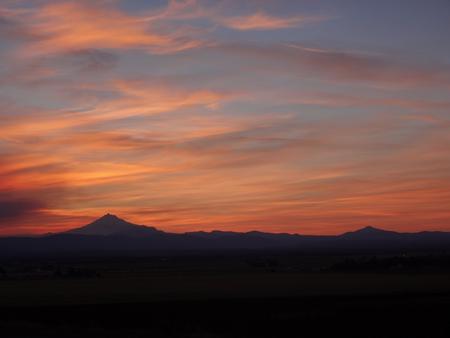
South Shore Campground is located in a High Desert landscape with gorgeous views of the lake, Mt. Jefferson and Mt. Hood as a scenic backdrop. High desert weather is mostly sunny and warm a majority of the time with juniper trees, sage brush and bitter brush throughout the campground. Lakeside views and access to this small, intimate reservoir make it a beautiful spot in Central Oregon to relax and view waterfowl, deer, eagles, osprey and Great Blue Herons. The combination of a low forest canopy and 3,000′ elevation make this a perfect location for stargazing at the wide open sky on clear nights.
Nearby Attractions
There are several state parks within 30 minutes away to include Smith Rock and Cove Palisades State Parks. Smith Rock State Park features world class rock climbing and hiking along the Crooked River. The Cove Palisades State Park offers many lake opportunities such as boating, swimming, hiking, water and jet skiing. The Lower Deschutes Wild and Scenic River is a popular destination for both whitewater boating and fishing only 30 minutes away. The nearby U.S. National Forest Service Grasslands feature designated Off Highway Vehicles (OHV) trails, horseback riding, hiking and primitive camping.
Charges & Cancellations
Please contact the new managing agency, Crook County Parks and Recreation District, at 541-447-2599 for cancellation policy.

