LAURA LAKE CAMPGROUND, WI Campground Reservation, Info, Images, Map, Directions

LAURA LAKE CAMPGROUND, Wisconsin Campground Images, Info & Reservations

Directions

From Armstrong Creek, drive west 1.9 miles on Highway 8 to FR 2163. Turn right (north) on FR2163 and drive 4 miles to the campground.
From Laona, drive north 14 miles on Highway 8 to FR 2163. Turn left (north) on 2163 and drive 4 miles to the campground.

Phone

(715) 674-4481

Activities

CAMPING

Keywords

Related Link(s)

Rec Area Info & Images

Wisconsin State Tourism

Wisconsin State Road Conditions

Overview

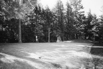
With two beautiful clear water lakes, undeveloped shoreline, and restricted motor use, Laura Lake Campground provides an exceptional camping opportunity.

Recreation

The Chequamegon-Nicolet National Forest has an abundance of outdoor recreation opportunities. Those most enjoyed at Laura Lake are fishing, swimming, kayaking, canoeing, and hiking the trail that goes around the lake. The area also provides a bike trail that runs along the old Lake 9 railroad grade.

Facilities

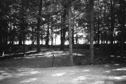
Laura Lake Campground has 41 sites. A majority of sites can accommodate campers as long as 30 feet and longer. Drinking water, vault toilets, swim beach, picnic area, and a boat landing are also provided at this location. All roads are paved with blacktop.

Natural Features

Campsites are located on the southwestern shore of 110-acre Laura Lake. The picnic and swim beach are located on the adjacent 50-acre Gordon Lake. Both lakes have developed back-in boat landings. Please note these lakes are restricted to electric motors only.

Nearby Attractions

Laura Lake site has a 2.25-mile hiking trail around the lake and 6.5 mile bike trail. Both Laura and Gordon Lakes provide good fishing opportunities.

Reservation

More from CampingHiking.net:

CROSSROADS CAMPGROUND, Arizona Campground Images, Info & Reservations

Directions From Lake Havasu City, this campground is about 45 minutes south of town. Visitors will need to drive over the Parker Dam onto the California side of the Colorado River. (Note: Oversized vehicles and vehicles towing trailers are not permitted to cross the dam.) Located about 9 miles south

KINGS CREEK, Utah Campground Images, Info & Reservations

Directions From Panguitch, Utah, travel 7 miles south on Hwy 89 to Scenic Hwy 12. Travel Hwy 12 for 11 miles to East Fork Road. Travel East Fork Road 7 miles to Tropic Reservoir and Kings Creek Campground. Turn immediately after the sign for the campground, and continue .5 miles

Burns Lake Campground, Florida Campground Images, Info & Reservations

Directions From Naples: Follow US HWY 41 east until you see signs for campground (approximately mile marker 67). From Miami: Follow US HWY 41 west until you see signs for campground (approximately mile marker 67) Phone 239-695-1205 Activities CAMPING, FISHING Keywords Big Cypress Related Link(s) Rec Area Info & Images

ELROD FERRY, Georgia Campground Images, Info & Reservations

Directions From Hartwell, GA, travel approximately 2.5 miles on Highway 29 North. Turn left onto Elrod Ferry Road, and after a mile follow the brown directional signs to the facility. 1387 ELROD FERRY ROAD, Hartwell GA 30643 Phone 888-893-0678 HARTWELL PROJECT OFFICE Activities BOATING, FISHING, PICNICKING, DAY USE AREA, SWIMMING

PARADISE CAMPGROUND, California Campground Images, Info & Reservations

Directions From Santa Barbara, take Highway 154 for approximately 9 miles to Paradise Road. Turn right and continue on Paradise Road to the campground. Phone 805-434-1996 Activities CAMPING, FISHING, HIKING, HUNTING, SWIMMING SITE Keywords PARA,SANTA YNEZ,SANTA BARBARA,LOS PADRES NF -FS Related Link(s) Rec Area Info & Images California State Road