CRANESNEST CAMPGROUND (VA), VA Campground Reservation, Info, Images, Map, Directions

CRANESNEST CAMPGROUND (VA), Virginia Campground Images, Info & Reservations

Directions

From Clintwood, VA main street turn left onto Rt. 83. Travel 2.6 miles and turn left onto Cranesnest Campground Rd. Travel 2.8 miles to the campground.

Phone

276-835-9544

Activities

BIKING, BOATING, CAMPING, FISHING, HIKING, HORSEBACK RIDING, PICNICKING, WILDLIFE VIEWING

Keywords

Related Link(s)

Rec Area Info & Images

Virginia State Road Conditions

Virginia State Tourism

Overview

The John W. Flannagan Dam & Reservoir Area boasts an expansive lake nestled in the rolling green Cumberland Mountains of southwest Virginia, offering visitors an oasis of recreation in the summer months. The nearby dam, built primarily for flood control for the Cranesnest and Pound Rivers, creates a breathtaking lake that is maintained at nearly 1,400 feet above sea level. This facility is an ideal spot for picnicking, water activities and hiking.

Recreation

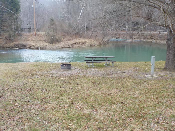
Flannagan’s reputation as a fisherman’s paradise is well-known. Visitors can enjoy secluded coves of deep, clean water that are well-stocked with bass, walleye and trout. Boating, canoeing, whitewater rafting and biking top the long list of activities available nearby.

Facilities

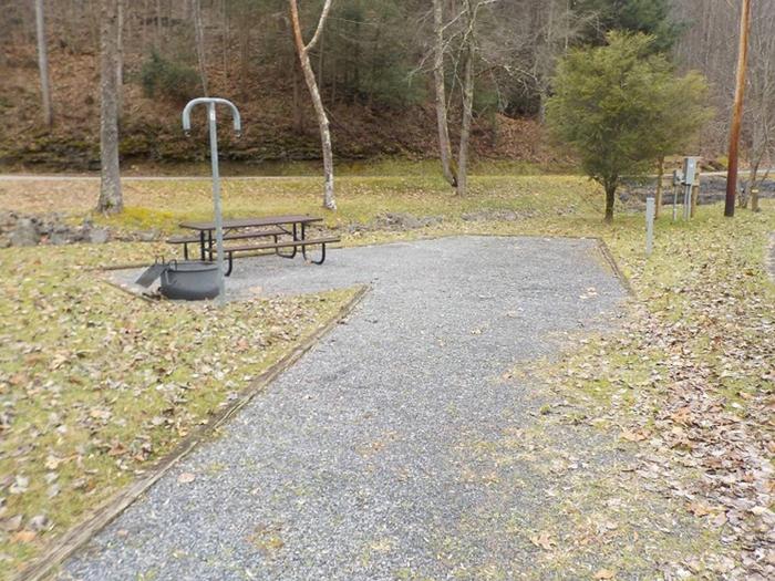
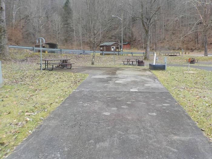
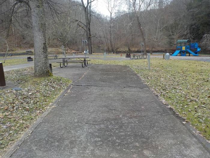
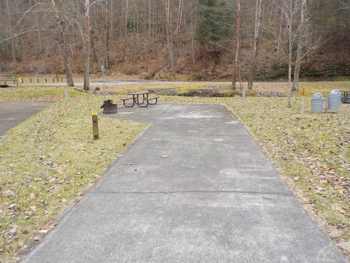
The campground offers campsites with electric hookup options, bath houses, playgrounds, launch ramps and picnic shelters with grills and horseshoe pits which provide an ideal location for parties and other get-togethers.

Natural Features

The John W. Flannagan Dam, completed in 1964, carves out a 1,145-acre lake with nearly 40 miles of beautiful shoreline in the lush Virginia mountains.

Nearby Attractions

Breaks Interstate Park is nearby, offering lodging, dining, a museum, gift shop, rafting, canoeing, rock climbing and other outdoor activities.

Reservation

More from CampingHiking.net:

CROSS LAKE DAY USE, Minnesota Campground Images, Info & Reservations

Directions From Brainerd, Minnesota. on Highway 25; turn right on County Road 3 and travel north to Cross Lake, Minn. The Day Use area entrance is to the left, directly across from intersections 3 and 66. Phone 651-290-5793 Activities HISTORIC & CULTURAL SITE, FISHING, PICNICKING, VISITOR CENTER, DAY USE AREA,

LAKE ALPINE – LODGEPOLE GROUP, California Campground Images, Info & Reservations

Directions From Angel Camp, drive 50 miles east on Highway 4. Phone 209-753-6350 Activities BOATING, CLIMBING, CAMPING, INTERPRETIVE PROGRAMS, FISHING, HIKING, PICNICKING, RECREATIONAL VEHICLES, VISITOR CENTER, WILDERNESS, DAY USE AREA, SWIMMING SITE, SWIMMING, MOTOR BOAT, OFF ROAD VEHICLE TRAILS, PADDLE BOATING, WATER ACTIVITIES, KAYAKING, NON-MOTORIZED BOATING, DISC GOLF, SCENIC DRIVE,

ROSE CANYON, Arizona Campground Images, Info & Reservations

Directions From Tucson, Arizona, take Catalina Highway/Arizona Route 39 northeast. The campground is located between mile markers 17 and 18 on the Catalina Highway. Phone 520-576-1477 Activities CAMPING, FISHING, DAY USE AREA Keywords ROSE,ROSE CANYON REC AREA,ROSE CANYON LAKE,ROSE PARK,ROSE CANYON PARK,CORONADO NF – FS Related Link(s) Rec Area Info

WINDY PASS CABIN, Montana Campground Images, Info & Reservations

Directions There is no motorized access to this cabin. From Bozeman, MT: Drive west towards Four Corners, then south towards Big Sky/West Yellowstone on US Highway 191 for about 35 miles. Turn left (east) onto Portal Creek Road, FS 984. Travel for 3.5 miles to the FS Road 6959 and

BREVOORT LAKE CAMPGROUND, Michigan Campground Images, Info & Reservations

Directions N4149 Brevort Camp Road Moran Michigan 49760 From St. Ignace, Michigan, take Highway 2 west for about 20 miles. Turn north on Brevort Camp Road/Forest Service Road 3108, then right at Forest Service Road 3473 and continue to the campground entrance. Phone 906-203-9872 Activities BIKING, BOATING, CAMPING, FISHING, HIKING,