
Directions
Physical address is 154 Toto Creek Park Rd., Dawsonville, GA 30506
From Georgia Highway 400 North, exit left for Harmony Church Rd. heading east; stay straight onto Price Rd.; turn right on Toto Creek Park Rd.; turn right to continue on Toto Creek Park Rd.; road dead ends into park.
From Georgia Highway 400 South, exit right for Harmony Church Rd. heading east; stay straight onto Price Rd.; turn right on Toto Creek Park Rd.; turn right to continue on Toto Creek Park Rd.; road dead ends into park.
Phone
770-945-9531
Activities
BOATING, CAMPING, FISHING, PICNICKING, DAY USE AREA, SWIMMING, WATER ACCESS
Keywords
Related Link(s)
Overview
Toto Creek Campground lies approximately 30 miles north of Buford Dam on Lake Sidney Lanier. The site features beautiful views of the lake as well as excellent access to picnicking and boating. The lake, named for the poet, Sidney Lanier, is well known for its aqua-blue colored water, spectacular scenery and access to recreational activities. Each year, over 11 million people come to visit the lake.
Recreation
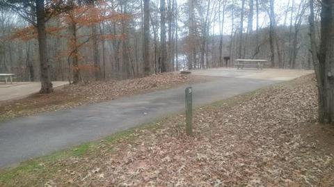
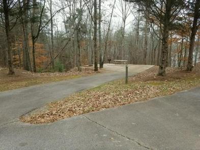
Toto Creek Campground offers many outdoor recreation opportunities including fishing, swimmming and boating. The park also features a small walking path with its own picnic tables and grills. A boat ramp provides greater access to water activities.
Facilities
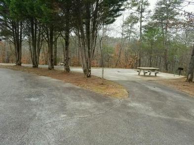
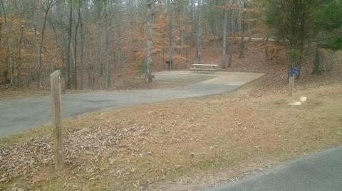
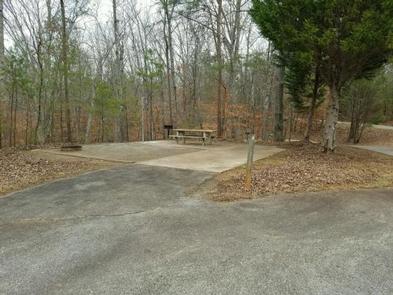
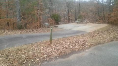
Each campsite offers an impact pad with a picnic table, fire pit, and lantern hangar. A communal water hydrant is located near site #1. Restroom is located near park entrance.
Natural Features
Lake Lanier boasts 38,000 surface acres of water, 692 miles of shoreline and over 100 small islands. Its location in the forested foothills of the Georgia Blue Ridge Mountains makes for a beautiful backdrop to any activity.
Nearby Attractions
The cities of Dawsonville and Dalonega provide lots of attractions for visitors, including shopping, restaurants, museums and much more. Amicalola Falls Sate Park is just a half hour drive Northwest of the campground.
Charges & Cancellations
Cancellations must be made via the online/phone reservation system.