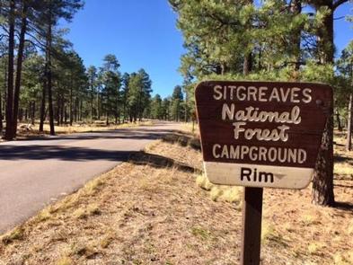
Rim Campground, AZ Campground Reservation, Info, Images, Map, Directions

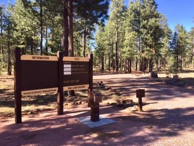
Rim Campground, Arizona Campground Images, Info & Reservations

Directions

Located on Road 300 approximately 1 mile off of High 260.

Phone

928-535-9859

Activities

BOATING, CAMPING

Keywords

Related Link(s)

Rec Area Info & Images

Arizona State Road Conditions

Arizona State Tourism

Overview

Rim Campground is situated close to the edge of the Mogollon Rim. Spectacular 100-mile views are seen from many vantage points along the rim.

Recreation

Fishing and boating are available at Woods Canyon Lake which is approximately 3 miles from the campground.

Facilities

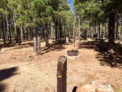
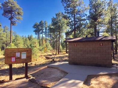
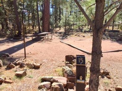
Rim Campground has 26 sites (of which sites 14 through 26 are available for advanced reservation). All sites are pull-outs and approximately 40 feet. Sites can accommodate tents, pop-up campers, trailer and motorhomes. There are two loops which have 13 sites per loop. Each campsite offers a campfire ring with grill and picnic table. Additional amenities include accessible vault toilets, drinking water and trash service. A camp host is available at the site.

Natural Features

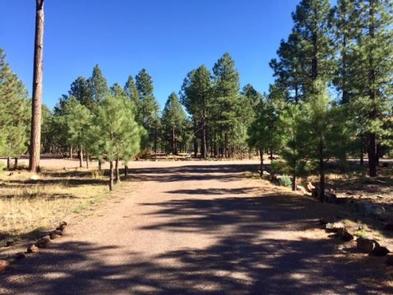
Rim Campground is surrounded by ponderosa pines and located in an area that is relatively flat. Once in a while a few elk will walk through the campsites.

Nearby Attractions

Some groceries are available at the Marina Store at Woods Canyon Lakes which is approximately three miles from the campground. The store also offers boat and kayak rentals. This lake is a great location for fishing.

Reservation

More from CampingHiking.net:

LONE POINT, Illinois Campground Images, Info & Reservations

Directions From Shelbyville, Illinois, go 4.5 miles north on State Route 128 to County Road 1750 N. Turn right and drive 0.9 miles to County Road 1900 E, then make a left and go 0.35 mile. Turn right onto County Road 1785 N and continue 2.5 miles to County Road

QUARRY COVE, Arkansas Campground Images, Info & Reservations

Directions From Ola, Arkansas, take Route 7 south for 9 miles. Turn west onto US-60, and continue for .5 miles and follow signs into campground. Phone 479-272-4233 Activities BOATING, CAMPING, FISHING, SWIMMING SITE Keywords QUAR,NIMROD LAKE,NIMROD LAKE Related Link(s) Rec Area Info & Images Arkansas State Road Conditions Arkansas State

BANDY CREEK, Tennessee Campground Images, Info & Reservations

Directions For detailed directions, please visit: http://www.nps.gov/biso/planyourvisit/directions.htm Phone (423) 286-7275 Activities BIKING, CAMPING, INTERPRETIVE PROGRAMS, FISHING, HIKING, HORSEBACK RIDING, HUNTING, PICNICKING, VISITOR CENTER, WILDLIFE VIEWING, DAY USE AREA, PHOTOGRAPHY, SWIMMING, MOUNTAIN BIKING, KAYAKING, STAR GAZING, BIRDING, NON-MOTORIZED BOATING, EVENING PROGRAMS, RAFTING, BACKPACKING, AMPHITHEATER, ACCESSIBLE SWIMMING Keywords CG02,BANDY,BIG SOUTH FORK NATIONAL

WOODBINE CAMPGROUND, Montana Campground Images, Info & Reservations

Directions Take Montana Highways 78 and 419 south of Columbus (on 1-90) 43 miles west of Billings, Montana. Phone 406-587-9054 Activities BIKING, CAMPING, FISHING, HIKING, WILDLIFE VIEWING Keywords None Related Link(s) Rec Area Info & Images Overview Woodbine Campground is remotely located adjacent to the Absaroka-Beartooth Wilderness in southwestern Montana,

CLEAR LAKE (TX), Texas Campground Images, Info & Reservations

Directions While traveling on US Highway 380 in Princeton, TX, take South 2nd Street (County Road 982) South. County Road 982 changes into County Road 735. At the 4 way stop sign (just past the Lavon Lake Camp and Conference Center), take a right on County Road 436. Watch for