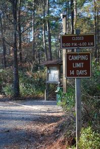
OYSTER POINT CAMPGROUND, NC Campground Reservation, Info, Images, Map, Directions

OYSTER POINT CAMPGROUND, North Carolina Campground Images, Info & Reservations

Directions

From Newport, take SR 1154 to Forest Road 181 and turn right.

Phone

252-638-5628

Activities

BOATING, CAMPING, FISHING, HIKING

Keywords

Related Link(s)

Rec Area Info & Images

North Carolina State Road Conditions

North Carolina State Tourism

Overview

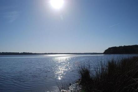
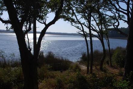
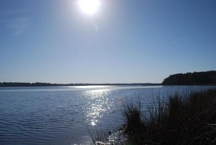
Oyster Point Campground is located on the banks of the Newport River, near the town of Newport, NC. The campground is just a short drive to the beaches of Atlantic Beach, NC and other coastal fishing destinations.

Recreation

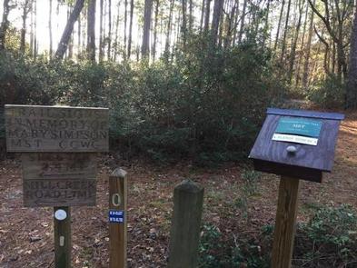
Canoeing and fishing are popular options. Power boating is allowed on the Newport River. The Croatan Saltwater Trail weaves south between the barrier islands of the Bogue Sound and north on Adams Creek connecting to the Neuse River. This campground is also the trailhead for the Neusiok trail which is a 21-mile hiking trail that meanders through cypress swamps, loblolly pines and vast bogs of thick vegetation.

Facilities

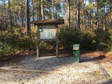
The campground features 15 campsites and two vault toilets. Each site has a picnic table, fire grill, parking spur, tent pad and lantern post.

Natural Features

Situated in the coastal pine forest and intercostal waterway of the Croatan National Forest, which encompasses 160,000 acres in eastern North Carolina, the Newport River is 12 miles long and opens into the Bogue sound. It is popular with anglers and flatwater paddlers.

Nearby Attractions

The campground is just a short drive to the towns of Newport, NC and Morehead City, NC. These towns offer full service grocery, retail, and an abundant selection of restaurants.

Reservation

More from CampingHiking.net:

LINK CREEK, Oregon Campground Images, Info & Reservations

Directions Travel approximately 13 miles northwest of Sisters on Highway 20/126. Turn left onto Forest Road 2070/Suttle Lake Campgrounds. Travel less than 1/2 mile to Blue Bay entrance on the right to Link Creek. Phone 541-323-1746 Activities BOATING, CAMPING, FISHING Keywords LINK,SUTTLE LAKE CAMPGROUND,DESCHUTES NF – FS Related Link(s) Rec

ALLEY SPRING, Missouri Campground Images, Info & Reservations

Directions From the east on US Highway 60, turn north on Missouri Highway 19 in the town of Winona. Continue north 12 miles to the town of Eminence. From Eminence, Alley Spring campground is located five minutes west of State Highway 106. From Mountain View, travel 19 miles east from

INDIAN CELINA LAKE, Indiana Campground Images, Info & Reservations

Directions From St. Crois, Indiana, travel south on State Route 37 about 2 miles to the Indian-Celina Recreation Area sign. Turn right and continue to the campground. Phone 812-843-4880 Activities BOATING, HISTORIC & CULTURAL SITE, CAMPING, HIKING, HUNTING Keywords INDL,HOOSIER NF – FS Related Link(s) Rec Area Info & Images

JUMPUP CABIN, Arizona Campground Images, Info & Reservations

Directions From Fredonia, AZ: Travel on State Route 89a south 1 mile to Forest Road (FR) 22. Take a right onto FR22. Follow FR22 for approximately 30 miles (the pavement ends after approximately 19 miles). From FR22 take FR447 west (right turn) to the junction of the FR234 (4 miles),

SULPHUR CAMPGROUND, Wyoming Campground Images, Info & Reservations

Directions From Evanston, Wyoming, take Utah Highway 150 (Mirror Lake Scenic Byway) south for 39 miles. Sulphur Campground is on the west side of the highway. From Kamas, Utah, take Center Street east. It becomes Utah Highway 150 (Mirror Lake Scenic Byway). Travel about 40 miles. There will be a