CEDAR FLAT GROUP CAMPGROUND, CA Campground Reservation, Info, Images, Map, Directions

CEDAR FLAT GROUP CAMPGROUND, California Campground Images, Info & Reservations

Directions

From Big Pine go east on Highway 168 APPROXIMATELY 11.5 miles and turn left into the campground entrance. The junction of 168 and White Mt Road (to the BRISTLECONE PINES) is about 1/2 mile beyond the campground entrance. Highway 168 is narrow and steep. RV’s and large vehicles should note a section of the road is a single lane with very limited visibility. UPHILL traffic has the right of way, BUT BE prepared to stop and back up to the last wide spot if necessary.

Phone

760-873-2500

Activities

CAMPING

Keywords

Camp Nelson at Cedar Flat,Camp Nelson at Cedar Flat,Camp Ferguson at Cedar Flat

Related Link(s)

Rec Area Info & Images

California State Tourism

California State Road Conditions

Overview

Cedar Flat Group sites are popular with academic institutions for geology field trips. With no nearby light sources, the night sky is brilliant for star gazing and night photography.

Recreation

A perfect location for star gazing, geology and hiking.

Facilities

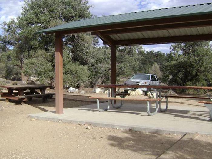
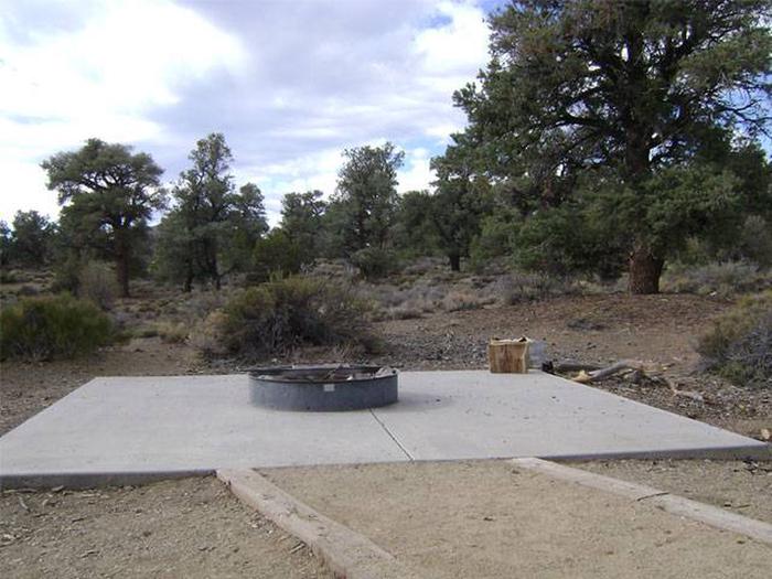
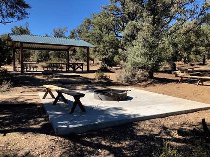
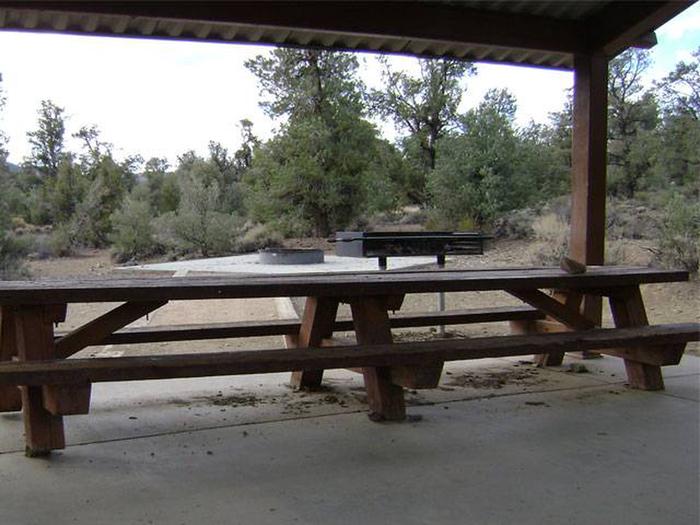
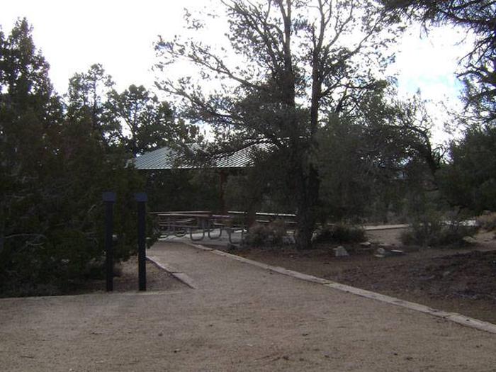
Three large group camp sites can accommodate between 25 and 50 people. Each has a picnic shelter with table, campfire ring and vault toilet. There is no water at this location nor is there a natural water source. The nearest source for water, food, or fuel is 12 miles away in the town of Big Pine, CA.

Natural Features

Cedar Flat is in the Inyo National Forest, east of the Owens Valley in the White Mountains. The campsites are at an elevation of 7,300ft. and located in an arid landscape dotted with pinyon and juniper trees, rabbit brush and sage.

Nearby Attractions

White Mountain Peak is the third highest peak in California at 14,246 feet. Trails in the Ancient Bristlecone Pine Forest lead to the oldest living trees in the world.

Reservation

More from CampingHiking.net:

MANZANITA LAKE, California Campground Images, Info & Reservations

Directions From Redding, California drive 48 miles east on State Highway 44. Turn right into Lassen Volcanic National Park and continue one mile south to Manzanita Lake Campground. Phone 530 595-6121 Activities BOATING, HISTORIC & CULTURAL SITE, CAMPING, INTERPRETIVE PROGRAMS, FISHING, HIKING, PICNICKING, VISITOR CENTER, DAY USE AREA, SWIMMING SITE

CAVE SPRING, Arizona Campground Images, Info & Reservations

Directions From Phoenix, take I-17 to Highway 179 north toward Sedona. Turn north on Highway 89A and continue for 11 miles into Oak Creek Canyon. From Flagstaff, take I-17 to Highway 89A south. Follow 89A for 18 miles to Oak Creek Canyon. Phone 928-282-1629 Activities CAMPING, FISHING, HIKING, WILDLIFE VIEWING,

DAVIDSON RIVER, North Carolina Campground Images, Info & Reservations

Directions From Asheville, North Carolina, take I-40 West to I-26 East to Exit 40 (Airport Road/Asheville Regional Airport), onto State Highway 280. Continue south 15.5 miles on 280 to Pisgah National Forest. Turn right at the intersection of Highway 280/64/276. Go north on 276 for 1 mile. Follow signs to

KNUTSON DAM, Minnesota Campground Images, Info & Reservations

Directions The campground is located 6 miles east of Cass Lake on U.S. Highway 2, and 5 miles north on County Road 10. Phone 218-835-4291 Activities BOATING, CAMPING, FISHING, WATER SPORTS, WILDLIFE VIEWING, SWIMMING SITE Keywords KDam,Knutson Related Link(s) Rec Area Info & Images Minnesota State Road Conditions Minnesota State