
Directions
There is no street address for this campground North: From I-40 take US-129/Alcoa Highway through Maryville, TN. Continue South on US-129 until mile marker 14.3 (Foothills Parkway exit). Proceed .5 miles beyond Foothills Parkway turning left onto Happy Valley Road. Turn Right onto Abram’s Creek Road passing the Abram’s Creek Ranger Station. The campground is approximately .5 miles beyond the ranger station. South: Continue North on US-129 where US-19/74/129 split, heading towards Robbinsville, NC. Near mile marker 14 in Tennessee turn Right onto Happy Valley Road (about 05 miles before the Foothills Parkway). Turn Right onto Abram’s Creek Road passing the Abram’s Creek Ranger Station. The campground is approximately .5 miles beyond the ranger station.
Phone
865-448-4103
Activities
CAMPING, HIKING, VISITOR CENTER, WILDLIFE VIEWING
Keywords
Abraham’s Creek
Related Link(s)
Tennessee State Road Conditions
Overview
Abram’s Creek Campground is located in a relatively remote area of Great Smoky Mountain National Park. The secluded setting offers visitors the ability to enjoy a multitude of recreational activities like hiking and fishing, without the crowds, which are sometimes common in other areas of the park.
Recreation
Great Smoky Mountains National Park is a hiker’s paradise, with over 800 miles of maintained trails ranging from short, leg-stretchers to strenuous treks. Hiking is not the only reason for visiting the Smokies: Fishing, picnicking, wildlife viewing and auto touring are popular activities.
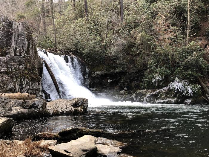
The Abram’s Creek area features many hikes from the campground and nearby Abram’s Creek Ranger Station. Hikers can access Abram’s Waterfall via the Little Bottoms Trail, approximately 8 miles round trip. The Park advises against swimming at the falls due to severe undercurrents. Several drownings have occurred at these falls. Several loop hikes are available for the hiker that does not wish to retrace his/her steps.
Chilhowee lake is located off of US-129 and is less than 10 miles from Abram’s Creek Campground. Visitors can canoe, kayak and fish in this lake surrounded by majestic mountains.
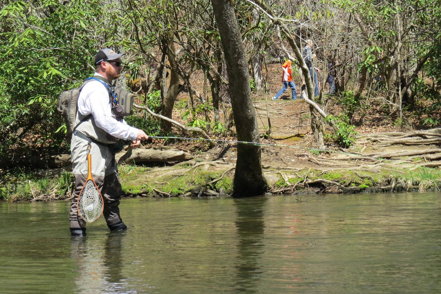
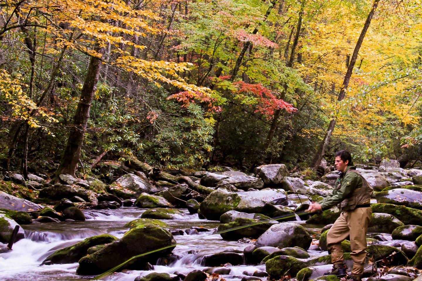
Campers can enjoy high-quality backcountry fishing in the cool waters of the countless streams and rivers that snake through the mountains. Anglers will agree that some of the best trout fishing in the area can be found along Abram’s Creek. Fly fishing is particularly good during spring months when aquatic insects hatch in large numbers.
Wildlife viewing is a popular pastime, and with around 1,500 bear living in the park, it is not uncommon for visitors to spot one. The park is a sanctuary for a magnificent array of animal and plant life, all which is protected for future generations to enjoy.
The Park also holds one of the best collections of log buildings in the eastern United States. Over 90 historic structures, including houses, barns, outbuildings, churches, schools and grist mills, have been preserved or rehabilitated in the Park.
Facilities
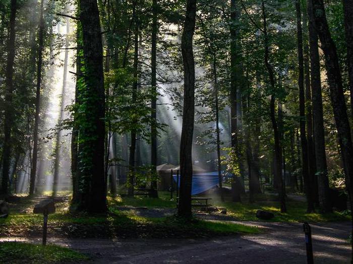
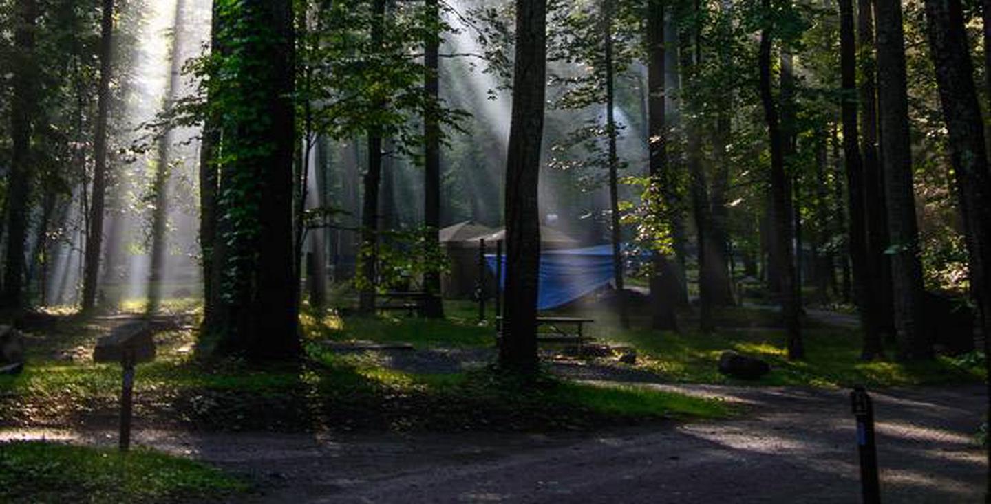
Abram’s Creek Campground offers a traditional outdoor camping experience with the added convenience of flush toilets and drinking water. There are no hookups or showers at the campground. Hiking trails and fishing streams are easily accessible from the site.
Natural Features
At a 1,125 foot elevation, Abram’s Creek Campground provides a moderate climate, characterized by mild winters and hot, humid summers. Beautiful Abram’s Creek flows beside the campground offering the camper the peaceful sounds of rippling water.
Nearby Attractions
Nearby attractions include US-129 (aka "The Dragon"), Foothills Parkway, Chilhowee Lake and Cades Cove
Charges & Cancellations
¢ If you plan to arrive at a date later than your arrival date you MUST contact the campground office 865-448-4103 in order to avoid a cancellation to your reservation. If you wish to cancel your reservation the day of your arrival you MUST contact the campground office 865-448-4103 in order to receive a refund.
¢ Rules and reservation policies can be found at https://www.recreation.gov/rules-reservation-policies