
Directions
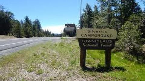
From Angel’s Camp, drive east on Highway 4 toward Lake Alpine. About 1/10th. mile past Bear Valley Ski resort turn-off, watch for sign for Silvertip Campground. The Campground is 2/3 of a mile west of Lake Alpine on Highway 4.
Phone
209-753-6350
Activities
BIKING, BOATING, CAMPING, FISHING, HIKING, WILDLIFE VIEWING
Keywords
Related Link(s)
California State Road Conditions
Overview
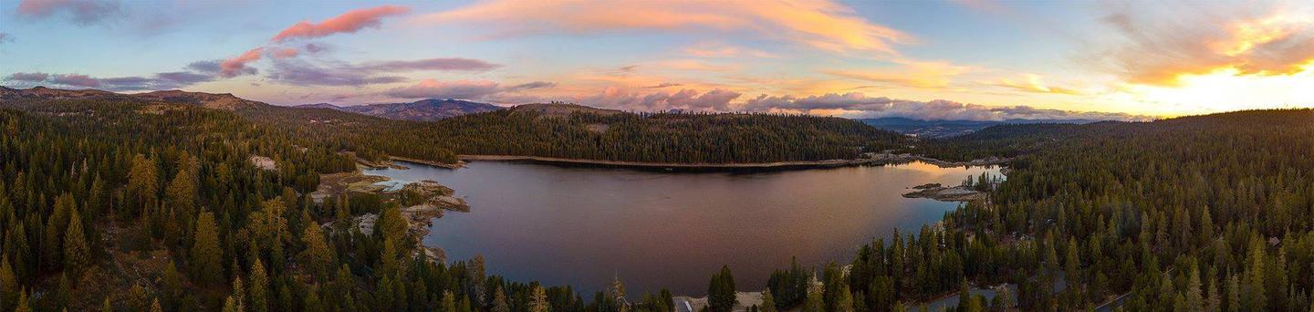
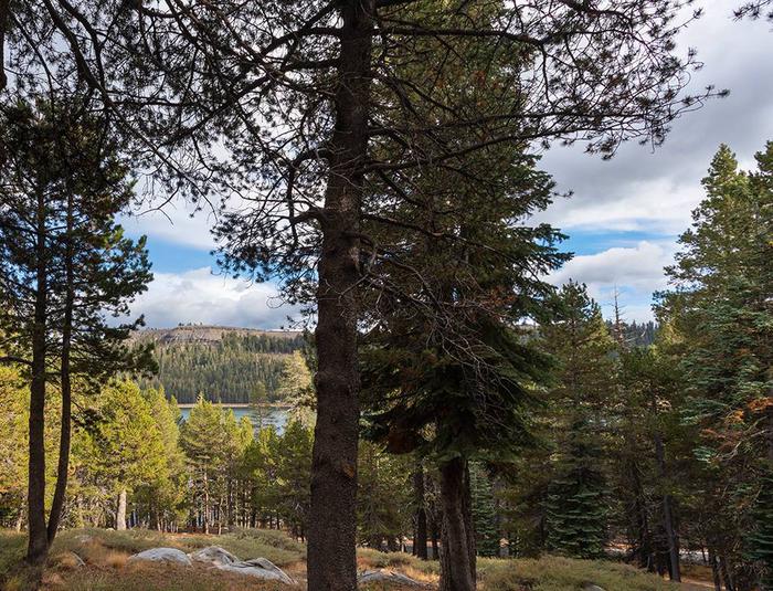
Silvertip Campground is less than a mile west of Lake Alpine, with a trail leading from the campground down to the lake.
Campground may open earlier and close later on a first come first serve basis as weather (snow level) allows. This information will be posted on this page as soon as it becomes available.
The current dates for reservations have historically allowed for comfortable camping, but please take into consideration the high alpine location when making a reservation. It is possible to have snow, rain, mud, and overall cold/wet conditions any time of year.
Recreation
Lake Alpine provides a wide variety of recreational opportunities. There is hiking, biking, kayaking, paddle-boarding, boating, OHV-ing, swimming, and wildlife watching. Interpretive programs are offered by Forest Service rangers during the summer months.
Facilities
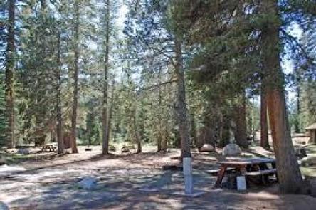
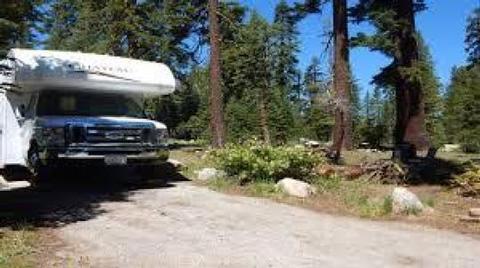
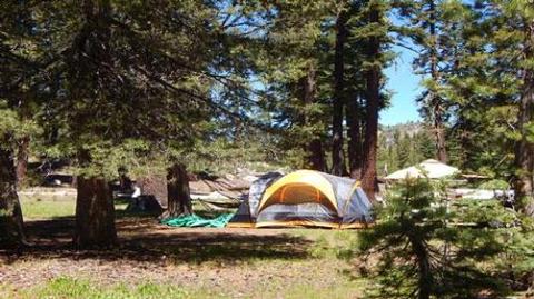
Campsites with room for up to 6 people, 3 tents, and 2 vehicles per campsite. Picnic tables, campfire rings, toilets are available. Hot showers and laundromat available at nearby Lake Alpine Resort. No electricity or hook-ups. Pets are welcome. Firewood, camping and fishing supplies, food, and apparel is available in the general store at Lake Alpine Lodge.
Natural Features
West Shore Campground sits at an elevation of 7,400 feet on the north end of Lake Alpine within the Stanislaus National Forest. The forest lies between Lake Tahoe and Yosemite and boasts gorgeous views. Squirrels, chipmunks, deer, marmots, coyotes, bears, eagles, and many different birds make this area their home.
Nearby Attractions
A restaurant, bar, general store, and boat rentals can be found at nearby Lake Alpine Lodge. The immediate area is suited for forest and wilderness recreation. A short car ride away is Big Trees State Park, Grover Hot Springs, Mercer Caverns, Mountain Adventure Seminars, and the wine country of Calaveras County.