Directions
From Grants Pass, Oregon: Take I-5 north to exit 61, Merlin exit. Turn left and continue northwest on the Merlin-Galice Road for 23 miles. Cross the Grave Creek bridge and take two immediate left turns to descend to the Grave Creek Boat Launch.
The Rogue River Trailhead is located on the far side, or west of the boat landing.
Phone
541-471-6500
Activities
HISTORIC & CULTURAL SITE, HIKING, WILDLIFE VIEWING
Camping Reservations
Reserve your campsite at these camping areas:
Hiking Trails
Looking for nice hiking areas to take a hike? Choose from these scenic hiking trails:
Related Link(s)
Learn more about the Rogue National Wild and Scenic River
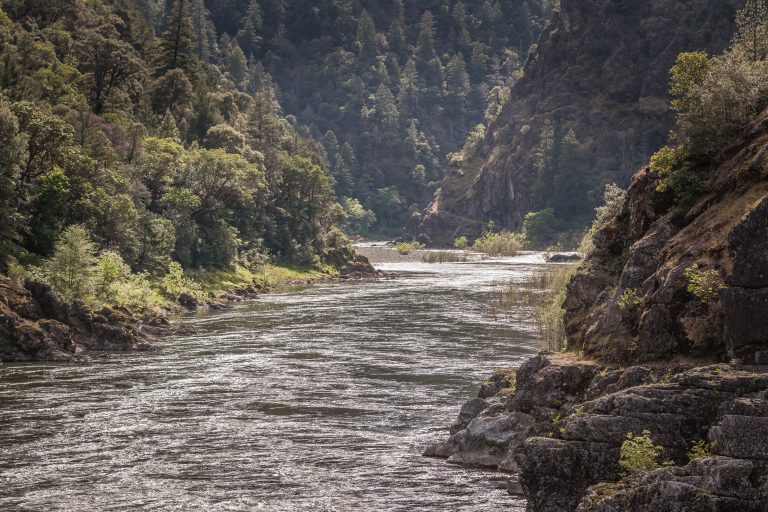
The Rogue River National Recreation Trail traverses the wild section of the Rogue National Wild and Scenic River along its entire length. Stretching 40 miles between Grave Creek and Big Bend, the trail offers some of southwestern Oregon’s most amazing landscapes and rewarding hiking experiences. Majestic steep canyon walls, cascading waterfalls, and glistening streams are just a glimpse of the magnificent scenery in the Wild Rogue Canyon. Observation and exploration opportunities abound for hikers to observe wildlife, wildflowers and historical sites along the way.
The Rogue River Trail is a HIKING TRAIL ONLY, closed to motorized vehicles, bicycles, and pack animals. Most of the trail is well constructed and has moderate grades. The average hiker takes 4-5 days to walk the 40 miles. Downed trees, landslides and high water in creeks can create difficult passage during the rainy season, usually November through April. Annual maintenance usually occurs April through June, after winter storms are no longer a threat.
The trail may be hiked from either end or from the middle. During the heat of the summer when temperatures may reach 100° F, many choose to hike from west to east, keeping the afternoon sun at their backs. Moderate temperatures make spring and fall popular seasons to hike. Check out the Rogue River National Recreation Trail Guide. for a detailed description of the trail.
Distances from Grave Creek
- Location                   Miles
- Whisky Creek             3.2
- Black Bar  Lodge       9.3
- Kelsey Creek               15
- Rogue River Ranch 22.7
- Marial                        23.9
- Blossom Bar            26.4
- Paradise Creek        27.3
- Brushy Bar                30.5
- Big Bend/Foster Bar   40
Know Before You Go:
- A Wild Rogue Float Permit is required for trail hikers when trail hikers are supported by boaters. A Permit is not required if a hiker hikes the trail and packs all of their own gear. Click here for more permit information.
- Bears are common in the area; most bear problems occur in the lower third of the wild section of the Rogue River, Paradise Lodge to the camp Tacoma area. Campsites in this area feature bear boxes, food hoists, and bear fences.
- Water is NOT available at the Rogue River Ranch. Water in creeks should be treated by boiling or filtration methods before consumption.
- The BLM and Forest Service provide toilets at some campsites. At sites where toilets are not provided, please pack out human waste with an approved system, or use the cat hole method.
Point of Interest:
The Rogue River trail is notable for its rich history which is manifested in the three National Historic Sites along its path: Whisky Creek, Zane Grey Cabin and Rogue River Ranch. Read about some of the wild endeavors of the river canyon™s former occupants in the Rogue River National Recreation Trail Guide.

