Directions
To access the Gila Lower Box Canyon, take U.S. 70 West from Lordsburg 1.5 miles to NM 464. Go North on NM 464 for 14 miles, and turn West on the bladed County Road. Access to the Gila Lower Box Canyon from the County Road requires a 4-wheel drive, high-clearance vehicle and staying on the existing routes. There are three access points to the river — by turning North off the County Road at 3.5, 6, and 8 miles. The first road (3.5 miles off NM 464) goes north 3.5 miles to the river at Nichol’s Canyon, where you can park and camp under majestic cottonwood trees. Motor vehicles are limited to three access routes to the river in Nichol’s Canyon, and off-road use is prohibited. The other access roads (at 6 and 8 miles off of NM 464) take you to the canyon rim at Fisherman’s Point and Spring-on-the-Bluff, where you will need to take fishing access trails down to the river.
Phone
575-525-4300
Activities
CAMPING, FISHING, HIKING, HUNTING, WILDLIFE VIEWING, PADDLING
Camping Reservations
Reserve your campsite at these camping areas:
Hiking Trails
Looking for nice hiking areas to take a hike? Choose from these scenic hiking trails:
Related Link(s)
More New Mexico Recreation Areas
BLM New Mexico YouTube Channel
BLM New Mexico YouTube Channel
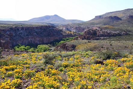
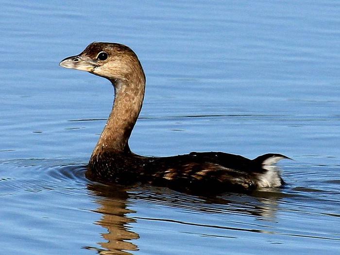
The Gila Lower Box Canyon is a true oasis in the desert, 20 miles north of Lordsburg, New Mexico. Since livestock were removed from the river canyon in 1990, a lush native community of cottonwood, willows, and other riparian and aquatic vegetation has re-established and flourished. The area provides some of the best birding in New Mexico. Home to approximately 200 species, it has one of the highest bird diversities in the state. The area provides habitat to many rare and unusual birds including Bell’s vireo, peregrine, bald eagle (in winter), golden eagle, black hawk, zone-tail hawk, gray hawk, yellow-billed cuckoo, Gila wood pecker, and Abert’s towhee. The river provides opportunities for canoeing or rafting during spring runoff, hunting, and year-round fishing and camping. The river contains smallmouth bass and several species of catfish.

