Activities
AUTO TOURING, BIKING, CLIMBING, CAMPING, HIKING, OFF HIGHWAY VEHICLE, PICNICKING, VISITOR CENTER, WATER SPORTS, SWIMMING
Camping Reservations
Reserve your campsite at these camping areas:
Hiking Trails
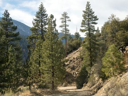
Looking for nice hiking areas to take a hike? Choose from these scenic hiking trails:
Cedar Creek / Fishbowl Loop – 22W10
West Tumamait Trailhead – 21W03
Frazier Mountain Trailhead – 20W03
First Crossing Day Use Picnic Area
Johnston Ridge Trailhead – 20W12
Gene Marshall-Piedra Blanca (Reyes Creek TH)
Related Link(s)
More California Recreation Areas
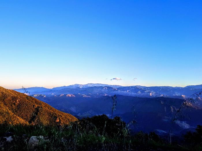
 The Los Padres National Forest features mountains, streams, rivers and beaches. Weather can vary throughout the forest and altitude ranges from sea level on the Monterey Ranger District, to almost 9,000 feet on the Mt. Pinos Ranger District.
Important Information
Accessible Recreation Opportunities
A continuing goal of the Los Padres National Forest is to make the recreational opportunities accessible to persons with disabilities. Although many of these areas already have wheelchair-accessible campsites, restrooms and trails, we are continuing to make more sites accessible.
Accessible Sites
The Forest Service has adopted the universal design approach to site accessibility which takes into consideration the differing physical capabilities of visitors. Not all locations/facilities are 100% accessible because the forest is continually adding new accessible sites. Please call ahead to the Ranger District for more information.

