Activities
BOATING, CAMPING, FISHING, HIKING, HORSEBACK RIDING, OFF HIGHWAY VEHICLE, PICNICKING, RECREATIONAL VEHICLES, VISITOR CENTER, FIRE LOOKOUTS/CABINS OVERNIGHT, SWIMMING, HORSE CAMPING
Camping Reservations
Reserve your campsite at these camping areas:
SYCAMORE GROVE (RED BLUFF) CAMPGROUND
Hiking Trails
Looking for nice hiking areas to take a hike? Choose from these scenic hiking trails:
Ides Cove Backpacker Trailhead
Ides Cove Horsepacker Trailhead
Related Link(s)
More California Recreation Areas
Recreation Information

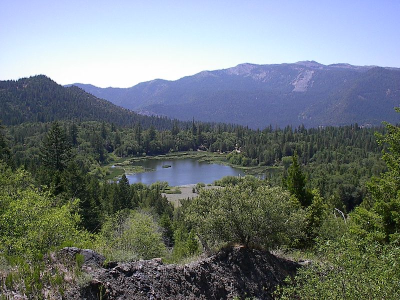
Howard Lake is located on the Covelo Ranger District.
Want to kick back and relax under shady pines by a sparkling lake? Looking for a “base camp” for a day of hiking, boating, fishing, or swimming? Want to just get out of the house for the day for a nice picnic in the great outdoors? If so, the Mendocino National Forest can offer you that and more!
Offering nearly one million acres for your enjoyment, relaxation, and exploration, you can experience the solitude of the wilderness or enjoy camping near others in developed campgrounds. Camp in densely forested woodlands or open meadows, discover secluded flats along river banks and enjoy panoramic views of majestic mountains.
A continuing goal of the Mendocino National Forest is to ensure accessible recreational opportunities are available to everyone.
Policy on Pet Dogs
Pets in Developed Recreation Sites: Under 36 CFR 261.16(j) Animals, other than a seeing eye dog, must be crated, caged, or upon a leash not longer than six feet, or otherwise under physical restrictive control.
Find Popular Campgrounds
To use our web site to help you plan your visit to the Forest, navigate by choosing your planned recreational activity in the left menu. If you have a favorite area in mind, it may be faster to use the map below or the “Find An Area” link in the right-hand column. The current status of the more popular campgrounds and trailheads, is listed in the table below the map with a link to more information.
Alerts & Notices
Also be sure to look at the Alerts & Notices page to view any emergency closures or other information that might affect your visit.


