Directions
From Little Rock, AR, 55 miles south on I-30 to Caddo Valley, 2 miles north on US 7.
Phone
(870) 246-5501
Activities
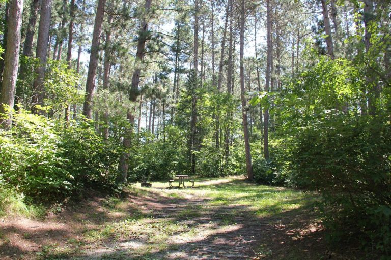
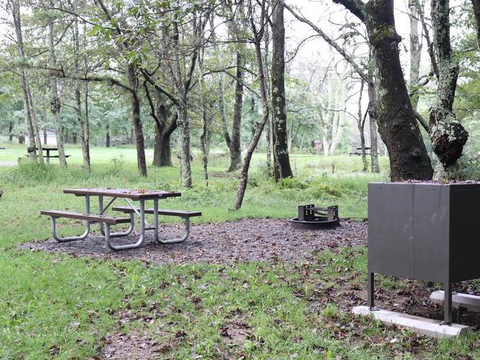
AUTO TOURING, BIKING, BOATING, CAMPING, FISHING, HIKING, HORSEBACK RIDING, PICNICKING, VISITOR CENTER, WATER SPORTS, WILDLIFE VIEWING, SWIMMING SITE, PLAYGROUND PARK SPECIALIZED SPORT SITE, OTHER RECREATION CONCESSION SITE, HOTEL/LODGE/RESORT PRIVATELY OWNED
Camping Reservations
Reserve your campsite at these camping areas:
Hiking Trails
Looking for nice hiking areas to take a hike? Choose from these scenic hiking trails:
Related Link(s)
More Arkansas Recreation Areas
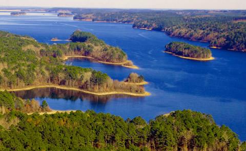
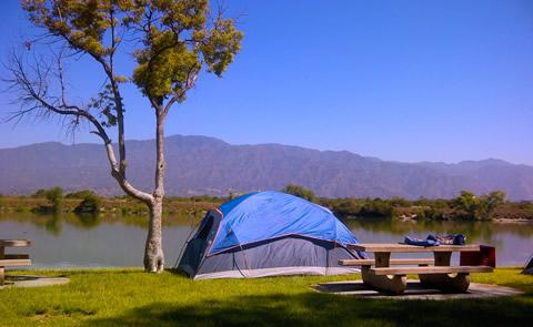
DeGray Lake, AR, on the Caddo River, is known for its camping facilities and geological formations. Located in the foothills of the Ouachita Mountains, lake visitors can enjoy boating, fishing, swimming and scuba diving as well. A group camp area, which includes a dining hall and eight sleep shelters, is also available. The project offers a visitor center and a State park with swimming pool, marina, lodge, and golf course.

