Directions
Approximately 120 miles southeast of Salt Lake City.
From I-15, take the Price-Manti exit. Go east on U.S. 6 then turn right on S.R. 96. It’s ten miles to park entrance.
Hours: 6:00 a.m. to 10 p.m. Reservoir open in winter but facilities winterized and closed.
href=”http://utahstateparks.reserveamerica.com/camping/scofield-state-park/r/campgroundDetails.do?contractCode=UT&parkId=344771″>Make a reservation on the Utah State Parks reservation site
Phone
Summer: 435-448-9449; Winter: 435-687-2491
Activities
AUTO TOURING, BIKING, BOATING, CAMPING, FISHING, HIKING, HUNTING, OFF HIGHWAY VEHICLE, PICNICKING, WINTER SPORTS, WATER SPORTS, WILDLIFE VIEWING, DAY USE AREA, PADDLING, SWIMMING
Camping Reservations
Reserve your campsite at these camping areas:
Hiking Trails
Looking for nice hiking areas to take a hike? Choose from these scenic hiking trails:
Related Link(s)
Browse Nearby Parks and Monuments
RV, Camping, Teepee, Cabin, Group Reserve America
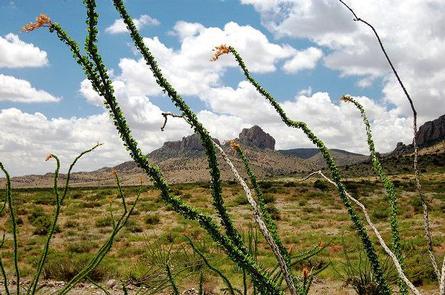
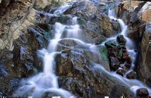
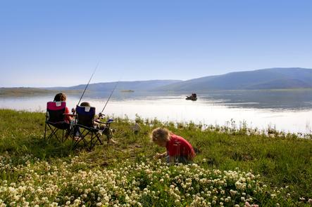
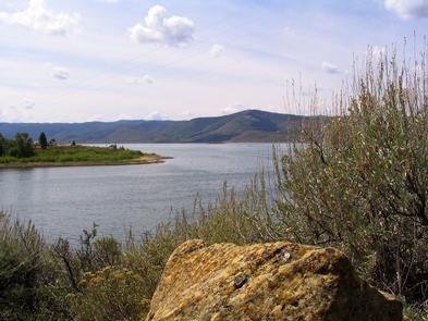
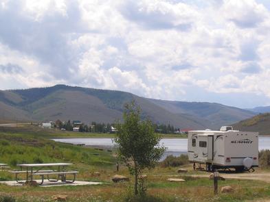
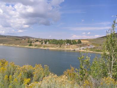
Scofield is Utah’s highest-elevation state park. That makes for a cool summer retreat and a winter sports haven high on an alpine road known as The Energy Loop: Huntington/Eccles Canyons Scenic Byway. The popularity of Scofield Reservoir brings many visitors to the park each year. Summer activities include fishing, camping, hiking, and swimming at this 2,800-acre reservoir at an elevation of 7,616 feet.
During the winter months, Scofield is one of the best places to ice fish for rainbow and cutthroat trout. The byway makes for an excellent scenic route on the way to or from Moab, with options to explore Skyline Drive on the Wasatch Plateau (with high-clearance or off-road vehicles) or the nearby San Rafael Swell. Make a reservation on the Utah State Parks reservation site