Directions
From I-25, exit at the Radium Springs/Fort Selden exit (NM 157) 15 miles northwest of Las Cruces and drive southwest for 1½ miles to NM 185/North Valley Drive. Drive north on NM 185 for 1¾ miles and turn left onto Faulkner Canyon Road/County Rd D59 (½ mile west of the Blue Moon Bar and Cafe).
Phone
575-525-4300
Activities
HIKING
Camping Reservations
Reserve your campsite at these camping areas:
Hiking Trails
Looking for nice hiking areas to take a hike? Choose from these scenic hiking trails:
Related Link(s)
More New Mexico Recreation Areas
BLM New Mexico YouTube Channel
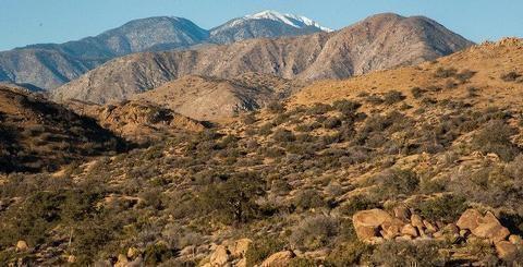
The Robledo Mountains WSA is located in the south-central portion of New Mexico in the Chihuahuan Desert. A diversity of habitats such as canyons, limestone cliffs, gentle slopes, caves, and riparian areas combine to make this area unique. Vegetation includes scattered junipers, diverse cacti, mesquite, creosote bush, and grassland.
Per the John D. Dingell, Jr. Conservation, Management, and Recreation Act which became law on March 12, 2019, this web page is currently being updated. To find more information on the new wilderness areas in New Mexico created by the Act, please visit: Wilderness Connect


