Directions
The Homestead is approximately 16 miles south of Globe and 14 miles north of Winkelman along State Hwy 77 in Gila County. The access road entrance is at mile marker 153.3, on the east side of the highway immediately south of the guard rail at a drainage crossing. There are no turning lanes or signs at the turnoff. Please keep the highway right of way fence gate closed, and continue on the primitive road approximately 2 miles to the Access Fund trailhead and primitive camping area. The access road is single lane, primitive and usually in rough condition from erosion after rainstorms. A very rough section which may be impassable is found about 0.8 miles from the highway. A high-clearance 4WD vehicle is strongly recommended. From the Access Fund trailhead, take the hiking trail approximately 0.5 miles towards the canyon, bypassing the Dripping Springs Ranch private property, and continue 0.3 miles to the hiking trails into the canyon.
Phone
(520) 258-7200
Activities
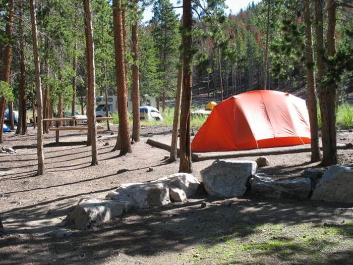
CLIMBING, CAMPING
Camping Reservations
Reserve your campsite at these camping areas:
Hiking Trails
Looking for nice hiking areas to take a hike? Choose from these scenic hiking trails:
Related Link(s)
Overview
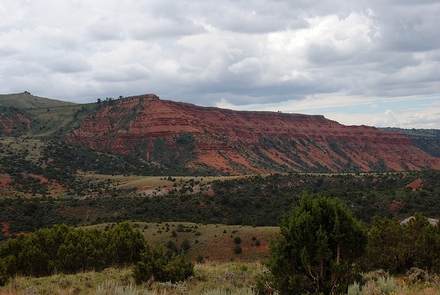
Sport climbing on limestone cliffs in a remote, scenic high desert backcountry within a two-hour drive from Phoenix and Tucson. The canyon and the climbing routes are on public land administered by the BLM, and on private property owned by the Access Fund. The area is in a canyon with over 250 sport climbs on 12 limestone walls on both sides, accessed by primitive foot trails. The area is at elevations between 3000 and 4000 feet, with limestone, sandstone and siltstone rock formations. Vegetation is diverse desert scrub, semi-desert grasslands, and chaparral with mesquite, palo verde, ocotillo, saguaro, prickly pear, cholla, catclaw acacia, jojoba, scattered agave, yucca and sotol. Land ownership in the area is intermingled BLM, State Trust land, and private property, including property owned by the Access Fund. Public use of State Trust land requires a recreational permit from the Arizona State Land Department. The private property beyond the Access Fund trailhead is not open to public use.
Safety Tips
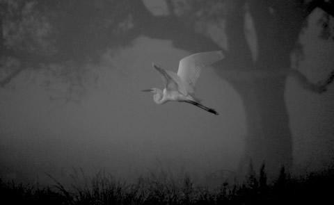
- Respect and be cautious of local wildlife. Bears, mountain lions, coyotes, and venomous creatures such as rattlesnakes and Africanized bees are common in the area.
- Bring plenty of water. Extreme heat conditions are typical during summer months.
- Severe storms with lightning and flash-flooding may occur, usually from mid-June to mid-September. Always stay out of washes and seek shelter if lightning occurs.