Directions
The site is located approx 25 miles south of Lander and 90 miles north of Rock Springs near the towns of Atlantic City and Pass City. This area is accessed from Hwy 28 via county roads 515 and 516.
Phone
307-332-8400
Activities
AUTO TOURING, BIKING, HISTORIC & CULTURAL SITE, CAMPING, INTERPRETIVE PROGRAMS, FISHING, HIKING, HORSEBACK RIDING, HUNTING, OFF HIGHWAY VEHICLE, PICNICKING, WINTER SPORTS, WILDLIFE VIEWING
Camping Reservations
Reserve your campsite at these camping areas:
Hiking Trails
Looking for nice hiking areas to take a hike? Choose from these scenic hiking trails:
Related Link(s)
South Pass Historic Mining Area
South Pass Historic Mining Area Map
South Pass Historic Mining Area
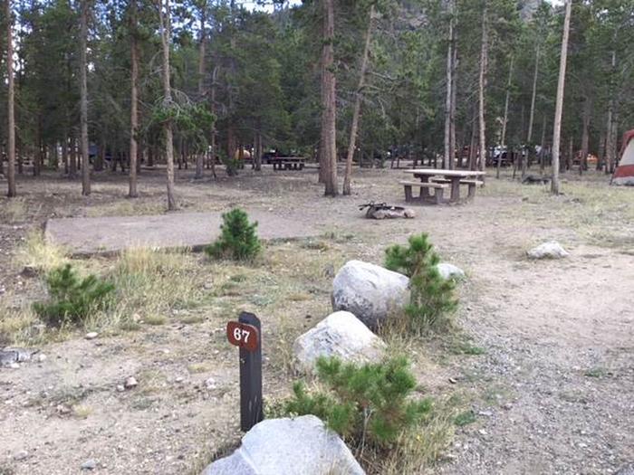
This 30-square-mile area was a focal point for the discovery of gold in 1842 and the resultant 1867 gold rush that settled this part of Wyoming. By 1868, about 1,500 people lived in the District towns of South Pass and Atlantic City, but by 1872 the boom was over and the area was all but abandoned. BLM maintains 2 campgrounds and the ghost town of Miner’s Delight in the area. Other attractions in the vicinity are the South Pass City State Historic site, the Wild Iris world-class rock-climbing site, remnants of five National Historic Trails (the Continental Divide, Oregon, Mormon Pioneer, California, and Pony Express Trails), and a Volksmarch Trail.This area is near historic trails. Please do not collect or damage these resources. There are a few maintained BLM roads in the area and multiple two-track routes.


