Directions
To get to the Sand Flats Recreation Area from south of Moab on U.S. 191 turn right at first traffic light onto 400 East. Proceed for 1 mile to Dave™s Corner Market and Millcreek Drive. Make a right onto Millcreek Drive and proceed for ½ mile to stop sign. Go straight at stop sign onto the Sand Flats Road that continues up a hill for 2 ½ miles to the Entrance Booth.
Phone
(435) 259-2444
Activities
AUTO TOURING, BIKING, CAMPING, HIKING, OFF HIGHWAY VEHICLE, PICNICKING, RECREATIONAL VEHICLES
Camping Reservations
Reserve your campsite at these camping areas:
Hiking Trails
Looking for nice hiking areas to take a hike? Choose from these scenic hiking trails:
Related Link(s)
Sand Flats Recreation Area web site
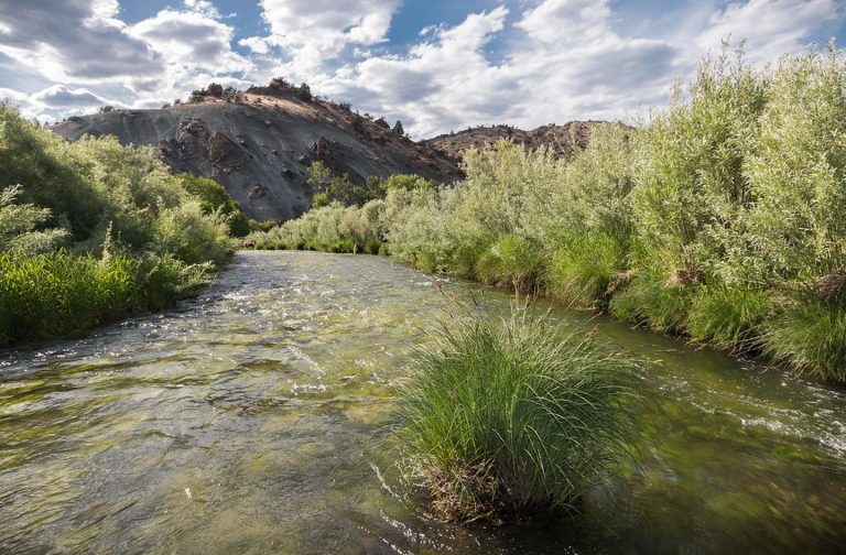
“The Sand Flats Recreation Area (SFRA) near Moab, Utah is a nationally significant public lands treasure at the heart of the Colorado Plateau. A high plain of slick rock domes, bowls and fins, it rises in the east to meet the colorful mesas and nearly 13,000 foot peaks of the La Sal Mountains.
Bordering the area on the north and south are the canyons of the Negro Bill and Mill Creek Wilderness Study Areas. Further north lies the deep gorge of the Colorado River and Arches National Park. Sand Flats famous Slickrock and Porcupine Rim bike trails and almost 40 miles of jeep trails are world-renowned for their combination of challenge and awesome scenery.
Sand Flats is also popular for camping. Over 100,000 visitors enjoy this 9,000-acre recreation area annually. The Sand Flats Recreation Area is managed through a unique partnership between Grand County and the Bureau of Land Management. In 1995 this area was developed through the collaborative efforts of Americorps, the Bureau of Land Management, Grand County and the Moab community.
SFRA’s mission is to protect the natural features of the area from adverse recreational impacts while providing access to sustainable and enjoyable recreational opportunities.”
” Sand Flats offers a few different types of day use passes.
Enter in a private vehicle and you have the option of purchasing a 1 day pass for $5.00 or a 7 day pass for $10.00.
Enter by bicycle, motorcycle or via shuttle and the cost is $2.00 per day or $5.00 for 7 days.
Sand Flats also charges a vehicle trailer fee of $5.00.
Sand Flats sells an annual pass for $25.00. The pass admits the card-holder and passengers in a single, private vehicle for day use through the last day of the month and year indicated on the pass.
When entry is by bicycle, motorcycle or shuttle van, this pass covers card-holder and accompanying family members. This pass does not cover camping. This pass is non-transferable and nonrefundable. ”
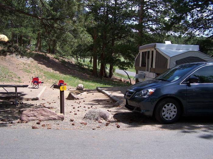
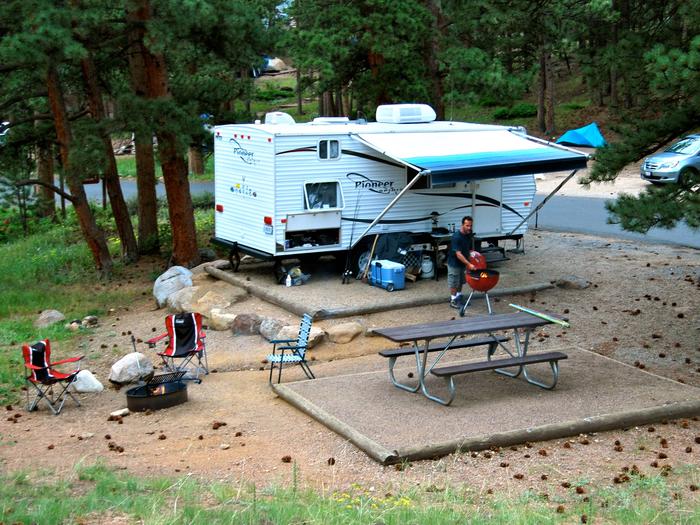
Camping is an additional $15.00 per night per vehicle, with an additional charge of $5.00 for a utility trailer.

