Bandelier National Monument, New Mexico Camping & Hiking

Bandelier National Monument, New Mexico Camping & Hiking

Bandelier National Monument Image Gallery

Directions

From NM285 US84 in Pojaque NM. West on NM502, West on NM4 to White rock. Then 12 miles to the monument entrance on the south side of the road.

Phone

(505) 672-3861

Activities

HISTORIC & CULTURAL SITE, CAMPING, HIKING, PICNICKING, WILDLIFE VIEWING

Camping Reservations

Reserve your campsite at these camping areas:

New Mexico Campgrounds

PONDEROSA CAMPGROUND (NM)

JUNIPER CAMPGROUND

Hiking Trails

Looking for nice hiking areas to take a hike? Choose from these scenic hiking trails:

New Mexico Hiking Trails

Related Link(s)

More New Mexico Recreation Areas

Bandelier National Monument Official Website

Bandelier National Monument Map

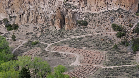
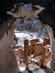
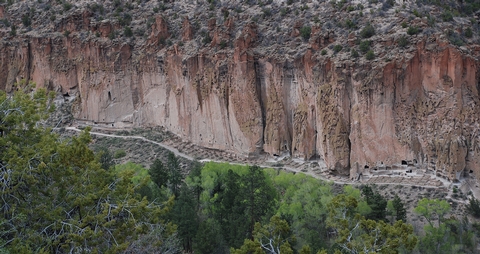
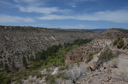
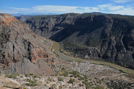
Bandelier National Monument protects over 33,000 acres of rugged but beautiful canyon and mesa country as well as evidence of a human presence here going back over 11,000 years. Petroglyphs, dwellings carved into the soft rock cliffs, and standing masonry walls pay tribute to the early days of a culture that still survives in the surrounding communities.

More from CampingHiking.net:

Clendening Lake, Ohio Camping & Hiking

Directions Approximately 10 miles southeast of Uhrichsville, Ohio. At Uhrichsville, take State Route 800 south to 1/4 mile east of Tippecanoe, Ohio. Turn onto County Road 69, approximately 1/2 mile

Shawnee National Forest, Illinois Camping & Hiking

Activities CLIMBING, CAMPING, FISHING, HIKING, HORSEBACK RIDING, PICNICKING, SWIMMING Camping Reservations Reserve your campsite at these camping areas: Illinois Campgrounds Hiking Trails Looking for nice hiking areas to take a

Beaver Lake, Arkansas Camping & Hiking

Directions From Fayetteville, 22 miles north on US 71, then east on US 62. Phone (479) 636-1210 Activities BOATING, CAMPING, FISHING, HIKING, PICNICKING, WATER SPORTS, WILDLIFE VIEWING, PLAYGROUND PARK SPECIALIZED