Ohio River - Meldahl Pool, Ohio Camping & Hiking

Ohio River – Meldahl Pool, Ohio Camping & Hiking

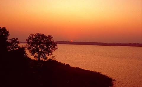
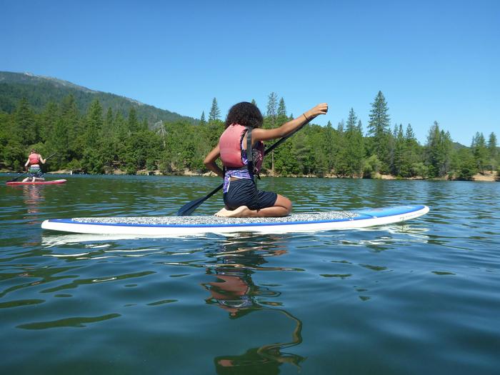
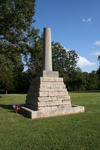
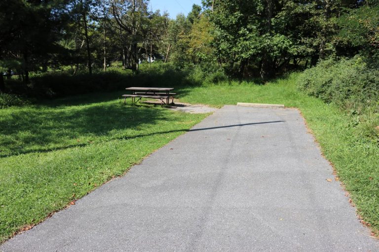
Ohio River - Meldahl Pool Image Gallery

Directions

Capt Anthony Meldahl Locks and Dam is located about 30-40 minutes east of Cincinnati, OH. Take the New Richmond Exit from I-275 onto east US 52. The locks and dam are between Neville and Chilo, OH. Also, From Portsmouth, Ohio, about 2 hours on west US 52.

Phone

(513) 876-2921

Activities

BOATING, CAMPING, PICNICKING, WATER SPORTS, WILDLIFE VIEWING, PLAYGROUND PARK SPECIALIZED SPORT SITE

Camping Reservations

Reserve your campsite at these camping areas:

Ohio Campgrounds

Hiking Trails

Looking for nice hiking areas to take a hike? Choose from these scenic hiking trails:

Ohio Hiking Trails

Related Link(s)

More Ohio Recreation Areas

White Oak Creek

Ohio River – Meldahl Pool Website

Captain Anthony Meldahl Locks & Dam is located at mile marker 436 on the Ohio River. It creates a 95 mile navigational pool between Meldahl Locks & Dam and Greenup Locks & Dam. Meldahl is an integral link in the Ohio River navigational system. Tours of the facilities can be scheduled.

More from CampingHiking.net:

Lavon Lake, Texas Camping & Hiking

Directions From Wylie, 3 miles east on TX 78, 1 mile north on county road. Phone (972) 442-3141 Activities BOATING, CAMPING, FISHING, HIKING, HORSEBACK RIDING, PICNICKING, WATER SPORTS, WILDLIFE VIEWING,

Therapod, Utah Camping & Hiking

Directions From I-15 Exit 8 turn onto St George Blvd heading east. Travel 0.2miles, and turn right on River Road. Travel 1.8 miles, and turn left on 1450 South. Continue

Idaho Panhandle National Forests, Idaho Camping & Hiking

Activities AUTO TOURING, BIKING, BOATING, CAMPING, FISHING, HIKING, HORSEBACK RIDING, HUNTING, OFF HIGHWAY VEHICLE, PICNICKING, RECREATIONAL VEHICLES, WILDLIFE VIEWING, FIRE LOOKOUTS/CABINS OVERNIGHT, SWIMMING, HORSE CAMPING Camping Reservations Reserve your campsite

Chukar Trail, Colorado Camping & Hiking

Directions From Olathe, Colorado take Falcon Road east into Gunnison Gorge National Conservation Area, where it becomes Peach Valley Road. About 0.25 miles after passing Peach Valley Recreation Site turn