Directions
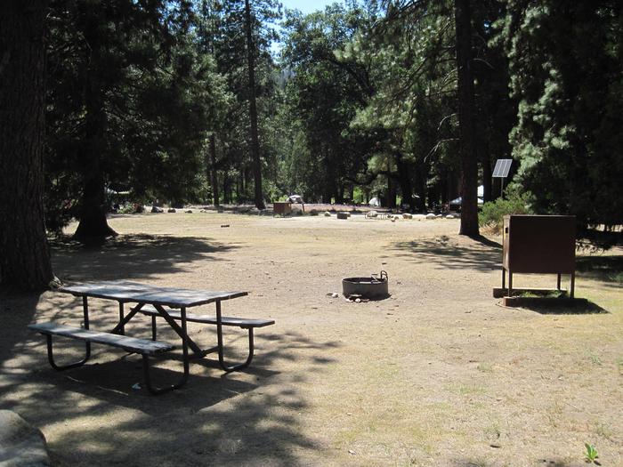
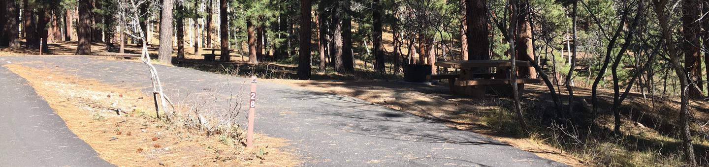
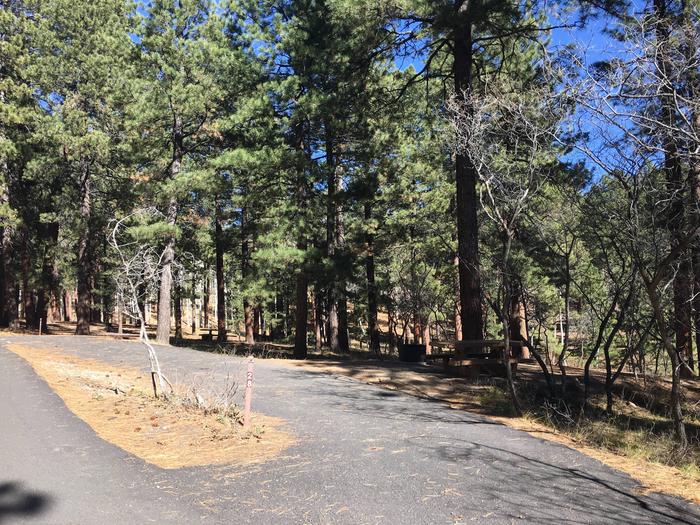
Kakahaia Refuge is located along the coastal road (Highway 450) linking the island’s southeast coast with the airport in Kaunakakai. The refuge is located directly seaward of the Kawela subdivision and is about 5 miles from Kaunakakai. As a satellite refuge, Kakahaia is not open to the public except by Special Use Permit; however, parking, picnic tables, and shade trees are located on the ocean side of the road. This park area is open year round.
Phone
808-875-1582
Activities
WILDLIFE VIEWING
Camping Reservations
Reserve your campsite at these camping areas:
Hiking Trails
Looking for nice hiking areas to take a hike? Choose from these scenic hiking trails:
Related Link(s)
Kakahaia National Wildlife Refuge
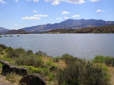
Kakahaia Refuge is a coastal freshwater pond, originally used as an artificial fish pond. This 44-acre refuge is situated on the south coast of Moloka’i. Established in 1977, it provides habitat for the endangered ‘alae ke’oke’o (Hawaiian coot) and small numbers of ‘ae’o (Hawaiian stilt), migratory waterfowl, and shorebirds. Northern pintails are common in winter months; and the Pacific golden plover is the most common shorebird. The native black-crowned night heron feeds on fish and other small vertebrates along the shoreline. Kakahaia is primarily a natural, spring-fed habitat. However, in 1983, an additional impoundment was constructed to increase shallow water habitat for the endangered stilt. In 1998 and 1999, this “New Pond” was cleared of invasive plants to open up habitat for the endangered stilt and coot, as well as wintering birds. State Route 450 bisects the refuge. The 2 acres seaward of the highway are under special use permit to the County of Maui for use as a county park open to picnicking and shoreline fishing.