
Directions
From Running Springs, travel toward Arrowbear, to Green Valley Road. Turn left, drive approximately 4 miles to Crab Flats Campground sign. Turn left and continue about 4 miles to the campground.
Phone
909-867-2165
Activities
BIKING, BOATING, CAMPING, FISHING, HIKING, WINTER SPORTS, WILDLIFE VIEWING, SWIMMING SITE
Keywords
CRAB,SAN BERNARDINO NF – FS
Related Link(s)
California State Road Conditions
Overview
Crab Flats Campground is an off-roaders paradise, with plenty of off-road vehicle trails nearby for both beginner and experienced riders. Its location not only provides plentiful recreation, but also a secluded escape in Southern California’s pine-covered mountains.
Recreation
A variety of hiking, mountain biking and off-road vehicle trails surround the campground, including the Crab Creek Trail, which provides access to nearby Fisherman’s Campground. The scenery along the trail is exceptional.
Other off-road vehicle trails in the area include the 9.7-mile Redonda Ridge Trail, and Holcomb Valley Road, which runs about 26 miles and begins west of the campground. The Crab Flat Loop is also west of the campground.
Green Valley Lake is approximately 6 miles away and offers boating, fishing and swimming opportunities. The 9-acre lake is regularly stocked with a variety of fish.
Snowshoeing and cross country skiing are available in the winter.
Facilities
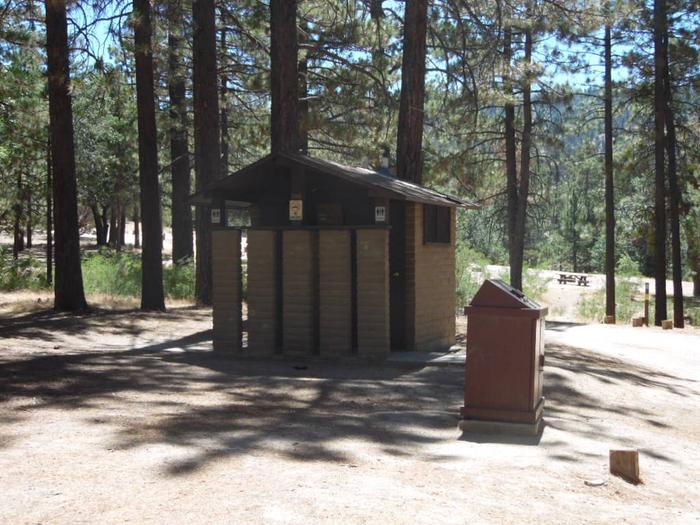
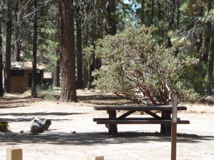
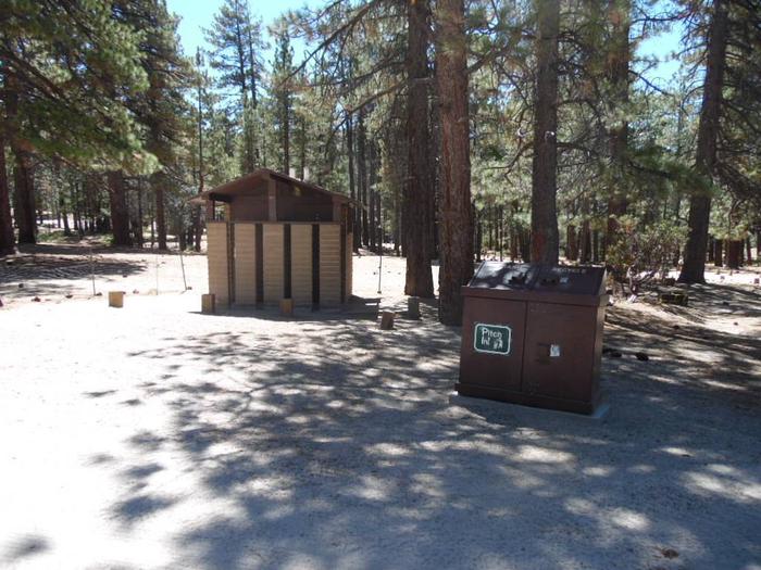
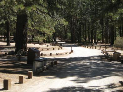
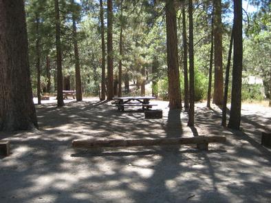
This primitive campground offers single-family sites for tents and RVs no longer than 28 feet. Each site is equipped with a table and campfire ring with grill. Vault toilets and drinking water are provided. Overflow parking is not available.
Natural Features
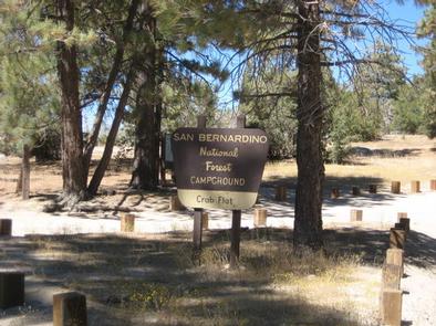
The campground is located 8 miles from Green Valley Lake in the San Bernardino National Forest, near the town of Arrowhead. It is accessed by a dirt road that crosses Deep Creek. The campground is situated among tall pine, oak and cedar trees. A variety of birds and wildlife make their home in the area.
Nearby Attractions
The closest communities are Arrowhead and Running Springs.