

Directions
From Cosby, TN, proceed south on TN 32 about 1.5 miles from junction with US 321. Turn right at Cosby sign. Group camp is another 2.2 miles.
Phone
423-487-2683
Activities
HISTORIC & CULTURAL SITE, CAMPING, FISHING, HIKING, WILDLIFE VIEWING, DAY USE AREA
Keywords
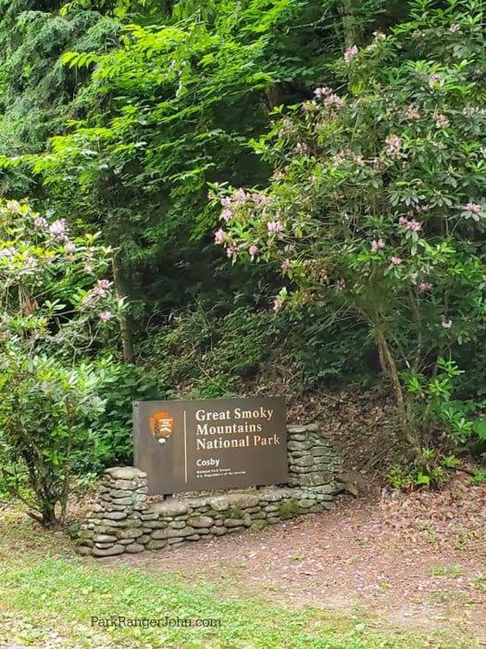
Great Smokey Mountains National Park,Great Smoky Mountains National Park,Cosby
Related Link(s)
Tennessee State Road Conditions
National Park Services Concessionaire
Overview
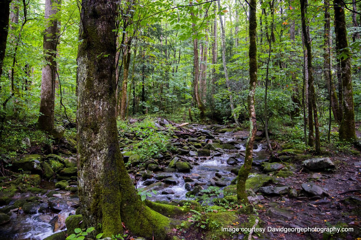
Tucked in the mountains under a canopy of cool shade beside Cosby Creek. This group campground creates a peaceful and secluded environment for visitors, offering the best that the Great Smoky Mountains National Park has to offer.
Recreation
Great Smoky Mountains National Park is a hiker’s paradise, with over 800 miles of maintained trails ranging from short, leg-stretchers to strenuous treks, with a number of those trails easily accessible from Cosby Campground, including the Appalachian Trail, just three miles away via the Lower Gap Trail.
Hiking is not the only reason for visiting the Smokies: Fishing, picnicking, wildlife viewing and auto touring are also popular activities. White water rafting on the nearby Pigeon River. Top tourist towns of gatlinburg, Sevierville and Pigeon Forge are just 20 miles away.
Campers can enjoy high-quality backcountry fishing in the cool waters of the countless streams and rivers that snake through the mountains, with trout available in abundance.
Wildlife viewing is a popular pastime, and with around 1,500 bears living in the park, it’s not uncommon for visitors to spot one. The park is a sanctuary for a magnificent array of animal and plant life, all of which is protected for future generations to enjoy.
Facilities
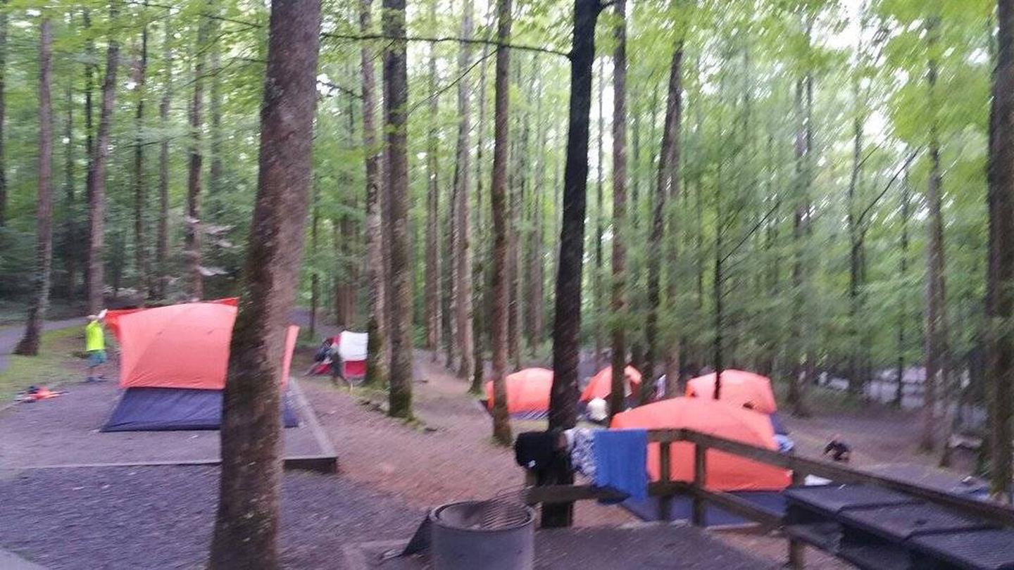
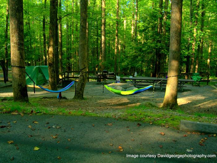
Cosby Group Camp provides campers with a secluded environment for traditional tent camping. There are three group sites (one accessible site) that can accommodate up to 20 visitors each. Tent pads at each site, along with fire rings, grills and tables, perfect for family meals and late night s’mores.
The site offers modern amenities like flush toilets and drinking water. The nearby Cosby Campground offers reservable sites and first-come, first-serve sites for smaller groups or overflow.
Natural Features
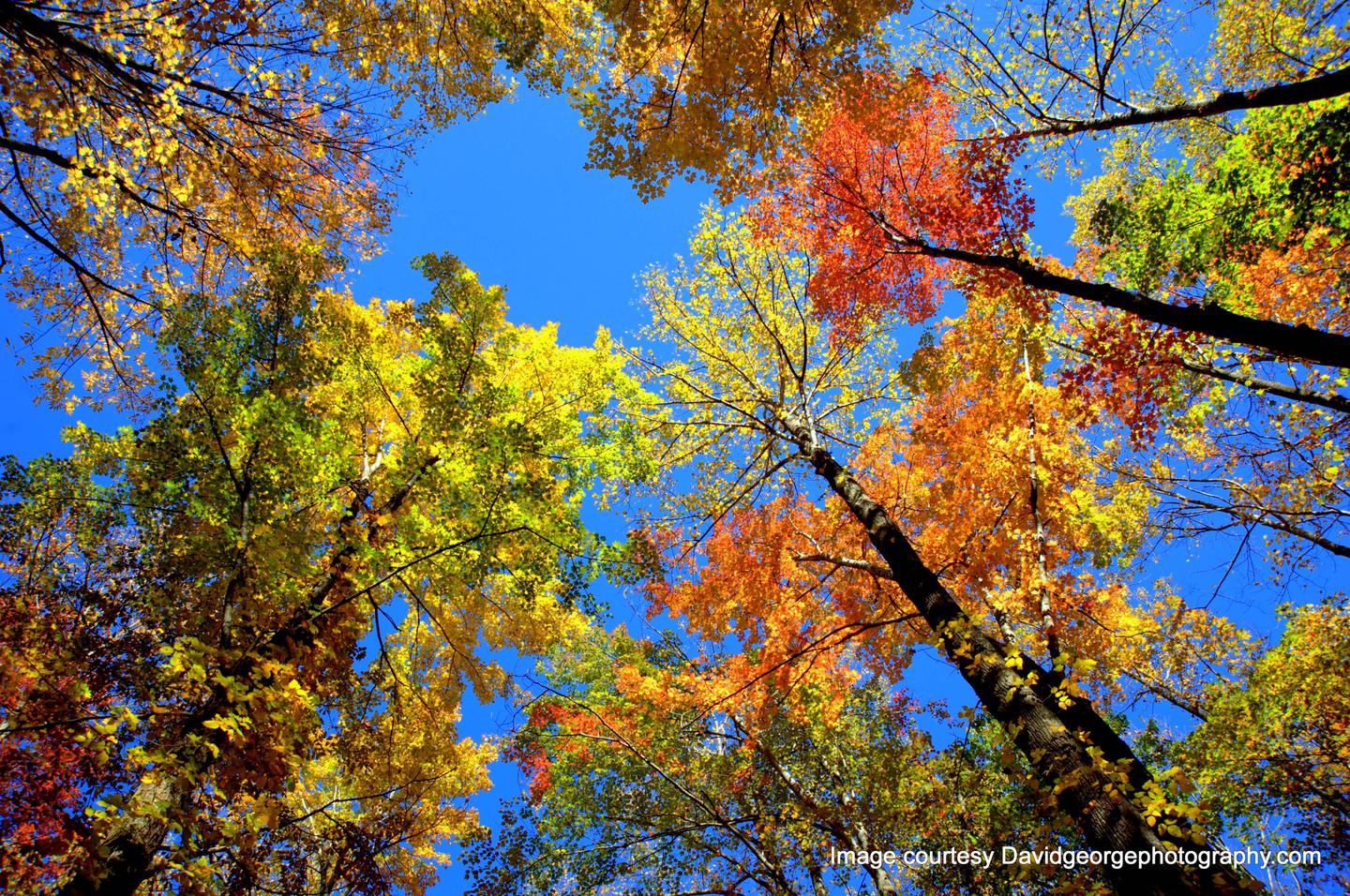
World-renowned for its diversity of plant and animal life, the beauty of its ancient mountains and the quality of its remnants of Southern Appalachian culture, Great Smoky Mountains is America’s most visited national park. Whether blanketed in bright wildflowers in the spring or vivid colors in the fall, the scenery at Cosby never disappoints.
At 2,460 feet, Cosby Campground provides a moderate climate, typified by mild winters and hot, humid summers.
Great Smoky Mountains National Park preserves a rich cultural history of Southern Appalachia. From the prehistoric Paleo Indians to the early 19th century European settlements, the park strives to protect the historic structures, landscapes and artifacts, which tell the stories of the people who once called these mountains home.
Nearby Attractions
Cosby, Tennessee, located about five miles from the campground, offers convenience stores and fuel.
Gatlinburg, a one of the Smokies’ famous tourist towns, is located about 20 miles from the site, offering visitors tours, organized rafting trips, museums, restaurants, galleries, an aquarium, skiing and more.