BLUE BLUFF CAMPGROUND (ABERDEEN MS), MS Campground Reservation, Info, Images, Map, Directions

BLUE BLUFF CAMPGROUND (ABERDEEN MS), Mississippi Campground Images, Info & Reservations

Directions

From Highway 45 in Aberdeen. Mississippi, travel to the intersection of Commerce and Meridian Streets in the downtown area. From Commerce turn north on Meridian and cross a railroad track and a bridge. The recreation area is the first right turn after the bridge.

Phone

662-369-2832

Activities

BOATING, CAMPING, INTERPRETIVE PROGRAMS, FISHING, HUNTING, WILDLIFE VIEWING, DAY USE AREA, SWIMMING SITE

Keywords

BLUB,TENNESSEE-TOMBIGBEE WATERWAY,TENN-TOM,BLUE BLUFF,TENNESSEE-TOMBIGBE

Related Link(s)

Rec Area Info & Images

Mississippi State Tourism

Mississippi State Road Conditions

Overview

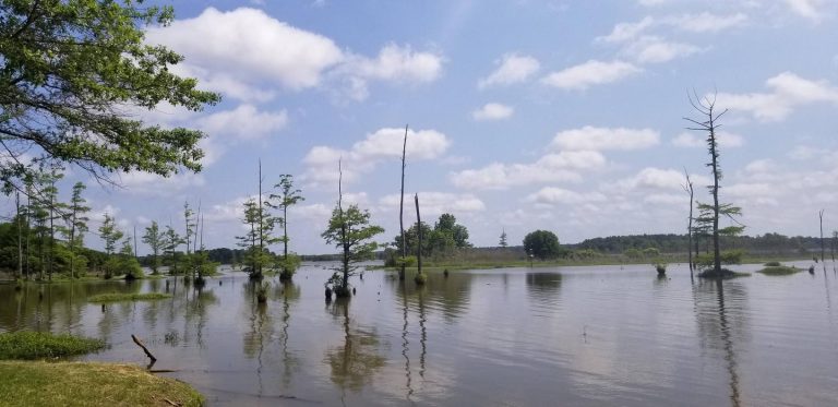
Blue Bluff Campground and Recreation Area, on the Aberdeen Lake section of the Tennessee-Tombigbee Waterway in Mississippi, is one of the most scenic recreation areas on the waterway.

The area is located just north of Aberdeen and boasts both a campground and day-use area. Thousands of outdoor enthusiasts visit the area each year for picnicking, fishing and swimming.

Recreation

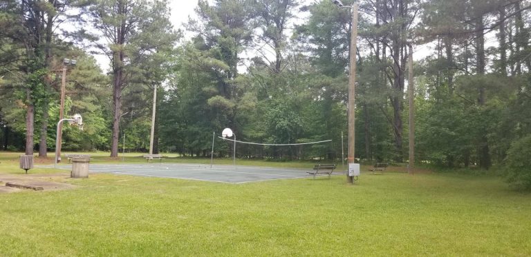
Families can swim at the facility’s beach, play on the multi-use court and walk along the wooded waterfront.

Anglers can try their luck on the accessible fishing dock or go off-shore in search of bass, walleye, crappie, catfish and sunfish.

Additionally, hunters can seek out a diverse range of high quality habitats for upland game and waterfowl species at designated hunting areas along the waterway.

Facilities

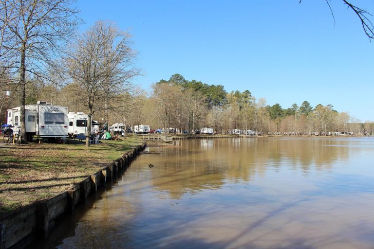
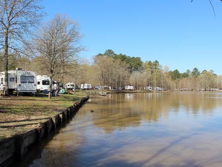
The campground offers 92 campsites with electric and water hookups, picnic tables, fire rings with grills, pedestal grills and lantern posts, making it perfect for parties and family functions.

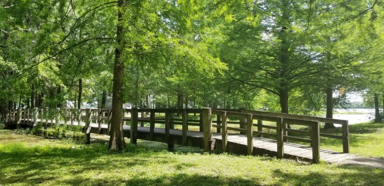
The facility is mostly shaded and has many scenic views of the waterway. Picnic areas and a beach are nearby.

Natural Features

Blue Bluff is named for the beautiful clay and limestone cliffs that border the park on the eastern side. The bluff rises 80 feet above the water and provides a lofty view of Aberdeen Lake and the nearby lock and dam.

The waterway extends 234 miles from the Tennessee River to the junction of the Tombigbee River in Alabama and connects the nation’s midsection of commercial water transportation with the Gulf of Mexico.

Nearby Attractions

A tour can be schedule at the Aberdeen Lock and Dam next door, which provides an opportunity to watch barges and other recreational boats go through the lock on the waterway. The town of Aberdeen, just from minutes from the campground, has various amenities, tours and events.

Tupelo, Mississippi, known as the birthplace of Elvis Presley, is a 45-minute drive north.

Reservation

More from CampingHiking.net:

COTTONWOOD CAMPGROUND (CA), California Campground Images, Info & Reservations

Directions The park headquarters address is not the physical address of the campground. To get to the campground, take Interstate 10 to the I-10 exit 168 Mecca/Twentynine Palms exit and follow signs to Joshua Tree National Park. The exit is 25 miles east of Indio, California. Phone 760-367-5554 Activities CAMPING,

QUARRY COVE, Arkansas Campground Images, Info & Reservations

Directions From Ola, Arkansas, take Route 7 south for 9 miles. Turn west onto US-60, and continue for .5 miles and follow signs into campground. Phone 479-272-4233 Activities BOATING, CAMPING, FISHING, SWIMMING SITE Keywords QUAR,NIMROD LAKE,NIMROD LAKE Related Link(s) Rec Area Info & Images Arkansas State Road Conditions Arkansas State

RIVER FOREST GROUP SITE, Florida Campground Images, Info & Reservations

Directions From Deland, Florida, drive west on State Route 44 to the first intersection after crossing the St. Johns River. Turn right on County Road 42, and the entrance to the campground is on the right. Phone 352-625-2520 Activities CAMPING, FISHING, HIKING Keywords RFGS,NFs IN FLORIDA – FS Related Link(s)

AIRPORT PARK, Texas Campground Images, Info & Reservations

Directions From I-35, take the Lake Shore Drive exit (Exit 339) and drive west to Steinbeck Bend Road. Turn right and proceed to second stop light. At the intersection with FM 1637 (China Spring Highway) turn right. Go to next stop light (Flat Rock Road). Turn left and drive approximately

PEACEFUL VALLEY, Colorado Campground Images, Info & Reservations

Directions From Denver, go north on Interstate 25 to U.S. Highway 36 west. Continue on U.S. 36 through Boulder to Lyons. Take Colorado Highway 7 and go approximately 12 miles, then Colorado Highway 72 for approximately 4 miles. Phone 303-541-2500 Activities BIKING, CAMPING, FISHING, HIKING, HORSEBACK RIDING Keywords PEAC,ARAPAHO AND

STEAMER BAY CABIN, Alaska Campground Images, Info & Reservations

Directions Steamer Bay Cabin is located on the northwest corner of Etolin Island on the east side of Steamer Bay. The cabin is accessible by boat or float plane only, and is 27 miles by boat or 25 miles by air from Wrangell. Use caution when anchoring the boat due