
Directions
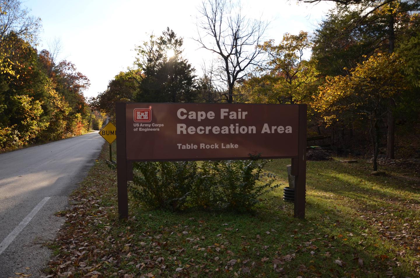
From Reeds Spring, Missouri, head south on Highway 13 for 1.4 miles. Turn West onto Highway 76 and continue for 8 miles to Cape Fair. Turn southwest onto Lake Road 76-82 and follow signs to the campground.
Phone
417-538-2220
Activities
BIKING, BOATING, CAMPING, FISHING, HIKING, PICNICKING, WATER SPORTS, WILDLIFE VIEWING, SWIMMING SITE, PHOTOGRAPHY, SWIMMING, RANGER STATION, KAYAKING, WATER ACCESS, SCUBA DIVING
Keywords
CAPE,TABLE ROCK LAKE,TABLE ROCK LAKE
Related Link(s)
Missouri State Road Conditions
Overview
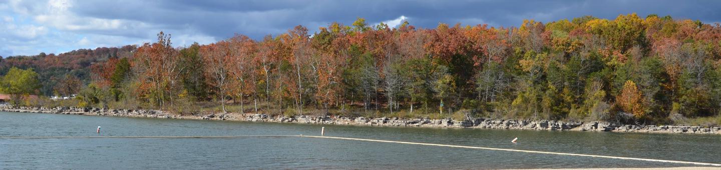
Cape Fair is a spacious and shady campground that sits along the James River Arm of Table Rock Lake.
Perfect for water and nature lovers alike, Cape Fair campground provides a scenic escape in the beautiful foothills of the Ozark Mountains.
Recreation
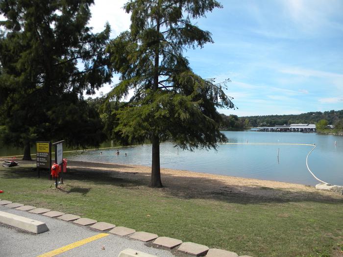
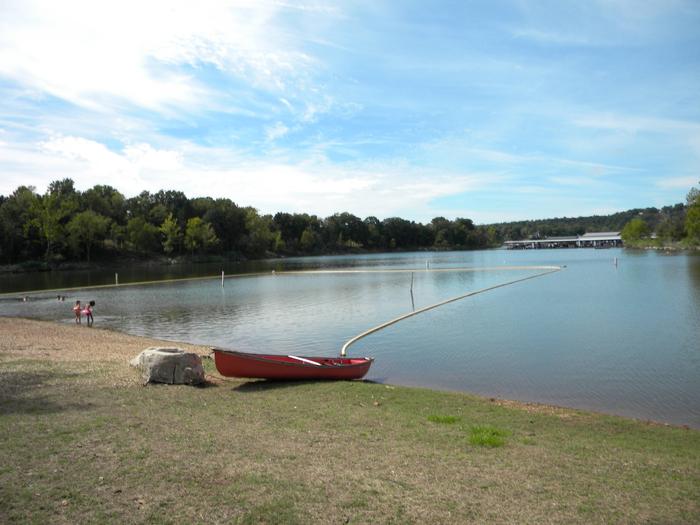
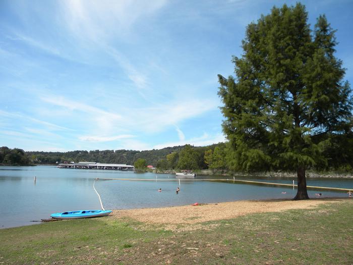
Whether on water or land, Cape Fair Campground offers visitors countless recreational activities. But above all, this is a fisherman’s favorite–Its location on the upper James River Arm affords visitors the opportunity to be near some of the best fishing action on Table Rock Lake. With plenty of campsites located right near the water’s edge, visitors don’t even have to leave the campground to find excellent fishing along the campground’s spacious shoreline. For visitors looking to get out on the water, the Cape Fair Boat Dock and Marina can service all of your boating needs, including fuel, storage and equipment rentals. Popular activities include water skiing, wakeboarding and tubing on the bright blue waters of Table Rock Lake. A large swimming beach is located on the left side of the campground, within walking distance of a picnic area. Visitors can make a day of picnicking by the water, soaking up the sun and cooling off in the lake. Table Rock Lakeshore Trail, about 2 miles long, runs from the Dewey Short Visitor Center to the Table Rock State Park Marina. During the spring hikers will see dogwood, serviceberry and redbud trees in bloom as well as many wildflower species. During the autumn months, visitors are treated to nature’s colorful fall foliage. The trail also offers beautiful views of Table Rock Lake. Other hiking and mountain biking opportunities are available at the Mark Twain National Forest, parts of which are easily accessible from the campground. Click here for more information.
Facilities
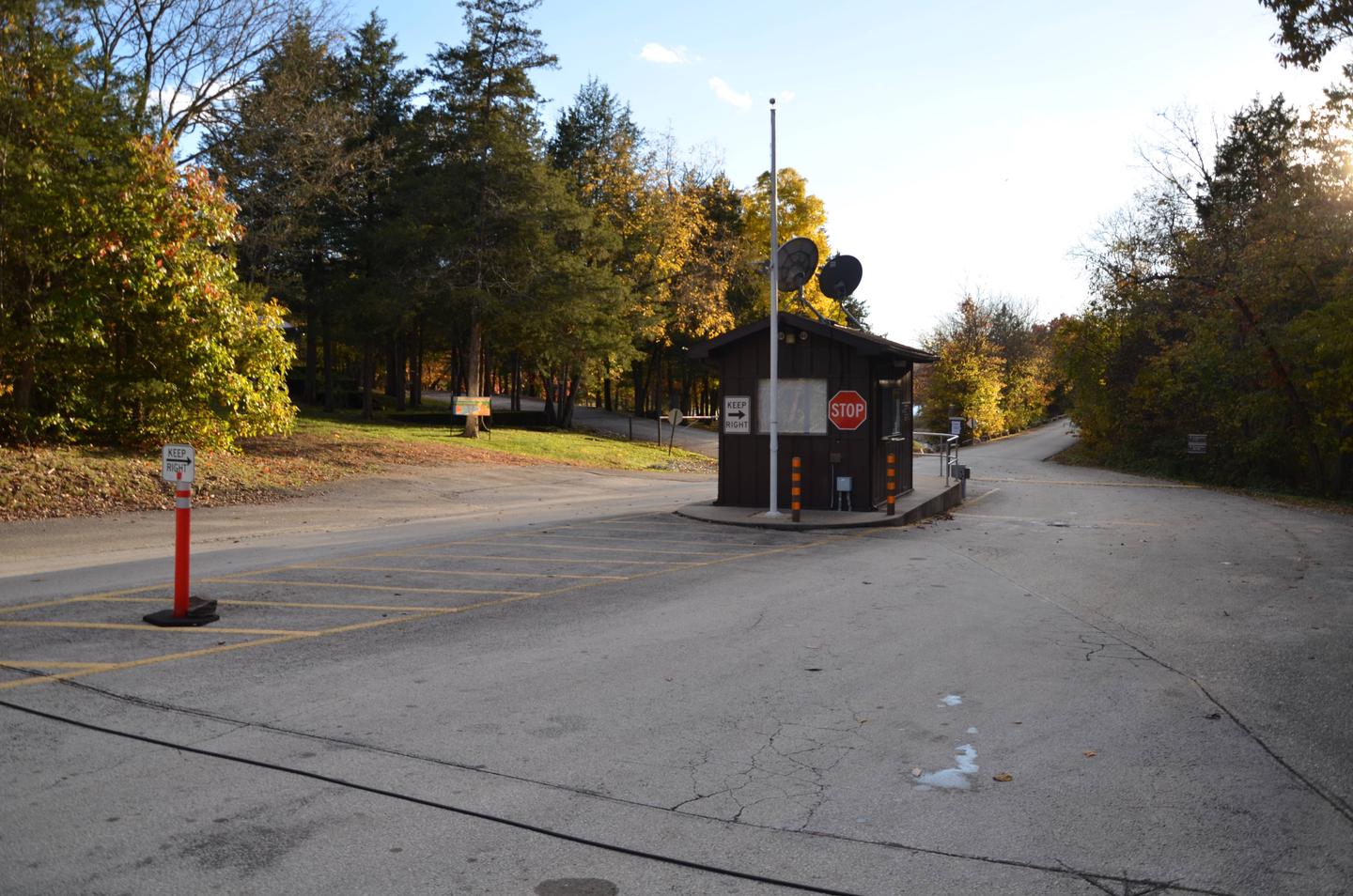
Cape Fair Campground offers 45 reservable campsites, along with one large reservable group picnic shelter. With a good number of sites along the waterfront and almost all sites offering stunning views of the lake, visitors can’t go wrong with Cape Fair Campground.
Amenities like hot showers, drinking water, a dump station and electric hookups create a comfortable camping experience. While a large swim area, boat ramp, playground and marina provide the perfect everything you need for endless family-friendly entertainment.
Natural Features
Table Rock Lake is a beautiful body of water surrounded by a forest of oak and hickory trees. Its waters wind down through the valleys and hollows of the Ozark Mountains, from Branson, Missouri to Eureka Springs, Arkansas.
More than five million visitors per year take advantage of this recreational oasis. Originally built for flood control, the Table Rock Dam has created a lake that boasts 779 miles of shoreline for the public to enjoy.
Nearby Attractions
The Dewey Short Visitors Center is located at the south end of Table Rock Dam. It offers three educational films focused on the history of the dam, the story of Lewis and Clark and the history of eagles and their endangerment in the state of Missouri.
The visitor center also contains exhibits on the natural history of the area. Those visitors arriving by boat can take advantage of the courtesy dock.
Cape Fair Campground is about 25 miles from Branson, Missouri, which offers grocery stores, gas and additional tourist attractions.