
Directions
From Carthage, go 4 miles west on SR-25, then north on SR-80, then east on SR-85 to Gladice. Turn right on Smith Bend Road and follow signs.
Phone
931-678-4718
Activities
BOATING, CAMPING, INTERPRETIVE PROGRAMS, FISHING, WILDLIFE VIEWING, WILDERNESS, SWIMMING SITE, PHOTOGRAPHY, PADDLING, SWIMMING, MOTOR BOAT, PADDLE BOATING, WATER ACTIVITIES, KAYAKING, CANOEING, BIRDING, NON-MOTORIZED BOATING, WATER ACCESS, EVENING PROGRAMS
Keywords
SALT,CORDELL HULL LAKE,SALT LICK CAMPGROUND,SALT LICK SHELTER,CORDELL HULL DAM
Related Link(s)
Tennessee State Road Conditions
Overview
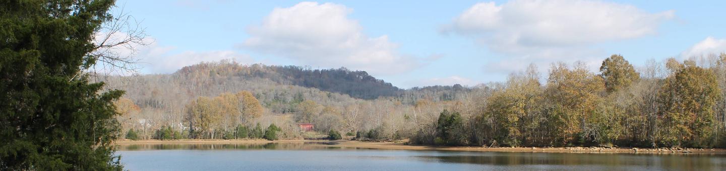
Salt Lick Creek Campground is located on Cordell Hull Lake on the Cumberland River System, just 10 miles from Gainesboro, TN. The lake itself was named after one of America’s outstanding statesmen and one of Tennessee’s finest volunteers. Hull was born in a log cabin in the foothills of the Cumberland Mountains.
Families and friends enjoy coming to the lake for boating, fishing, swimming, hiking, hunting, and relaxing in the outdoors.Click here for a virtual tour of the Cordell Hull Lake facilities.
Recreation
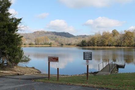
The 12,000-acre lake stretches 72 miles upstream and has 381 miles of shoreline, offering recreational activities for just about any type of visitor.
Anglers enjoy fishing for white bass, rockfish, largemouth bass, catfish, shad and crappie. Boating, sailing, water skiing, and jet skiing are popular activities on the water.
Many miles of hiking, horseback riding, and mountain biking trails surround the lake. The 6-mile Bearwaller Gap Trail has a trailhead in nearby Defeated Creek Park. Other trails in the area include the Turkey Creek Nature Trail and Bear Wheels Trail.
Facilities
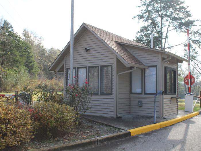
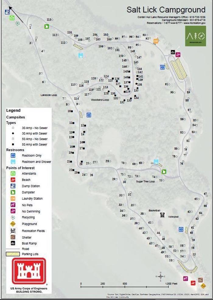
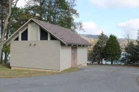
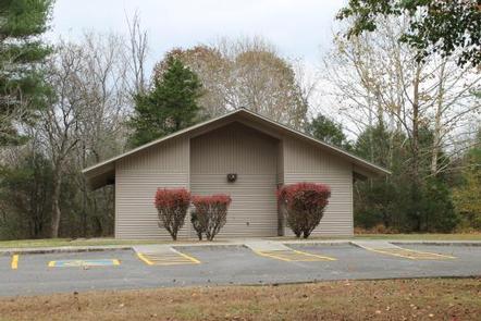
The campground offers 150 family sites and one large, group shelter, all with electric hookups. Amenities include flush toilets, showers, drinking water, laundry facilities, and a dump station. Also within the site is a boat ramp, playground and visitor center.
Natural Features
Cordell Hull Lake is situated among rolling hills wooded with a mixture of shady maple, hickory, oak, beech and chestnut trees. Summer temperatures range from the 60s to the 90s.
Wildlife is abundant around the lake. Whitetail deer, wild turkeys, quail, squirrels, rabbits, and a wide variety of waterfowl are commonly seen throughout the area.
Nearby Attractions
The historic town of Granville, TN is a 45-minute drive from the campground. Visitors enjoy celebrating the town’s Heritage Day in May. Events include the Uncle Jimmy Thompson Bluegrass Festival, antique car and tractor shows, and Confederate Civil War living history presentations.