
Directions
From Fresno, go east on Highway 180 towards Kings Canyon National Park. Take a right on the General’s Highway and travel approximately 10 miles south to campground entrance on the left.
Phone
559-335-2232
Activities
CAMPING
Keywords
FIGR,GIANT SEQUOIA NAT. MONUMENT,SEQUOIA NF – FS
Related Link(s)
California State Road Conditions
Overview
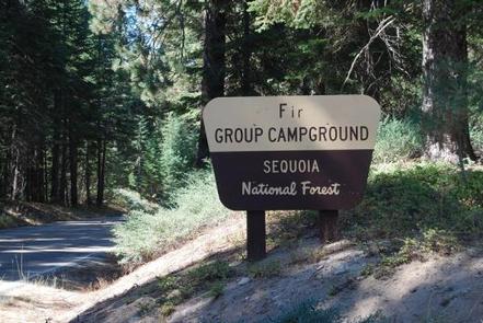
Fir Group Campground sits near Hume Lake in the Sequoia National Forest, amidst pines and at an elevation of 5,250 feet. Hume Lake was built to support a one-time commercial logging operation, and sits in the Kings River Watershed, a region of the Sierra Nevada mountains replete with vast stands of timber.
Recreation
Visitors can enjoy trout fishing, swimming, non-motorized boating, hiking and mountain biking on 87-acre Hume Lake. There are also several hiking paths along the lake.
Facilities
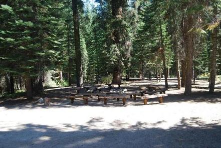
Fir Group Campground can accommodate up to 100 guests. Vault toilets and drinking water are provided.
The Giant Sequoia Mercantile offers a wide variety of books, maps, gifts, local art, camping supplies and other merchandise.
This facility is operated by Sequoia Recreation, a division of California Land Management and comments are welcome; comment forms are available from campground hosts or online.
Natural Features
The Sequoia National Forest, located at the southern end of the Sierra Nevada in central California, takes its name from the giant sequoia, the world’s largest tree, which grows in more than 30 groves on the Forest’s lower slopes.
The Forest comprises about 1.1 million acres, and elevations range from about 1,000 to 12,000 feet, creating precipitous canyons and mountain streams with spectacular waterfalls such as Salmon Creek Falls and Grizzly Falls.