

Directions
From Salt Lake City, head west on I-80 for 36 miles. Take the Stansbury-Tooele/Route 35 exit and travel south 3 miles to Route 138 West. Follow it 10 miles to Grantsville. Go through Grantsville to Cooley Street and turn south; go 5 miles to the South Willow Canyon turnoff. Boy Scout Campground is located 1.7 miles from the forest boundary.
Phone
SALT LAKE RANGER DISTRICT OFFICE 801-733-2660 OR UTAH RECREATION COMPANY 385-273-1100
Activities
CAMPING, FISHING, HIKING, PICNICKING, WILDLIFE VIEWING
Keywords
None
Related Link(s)
Overview
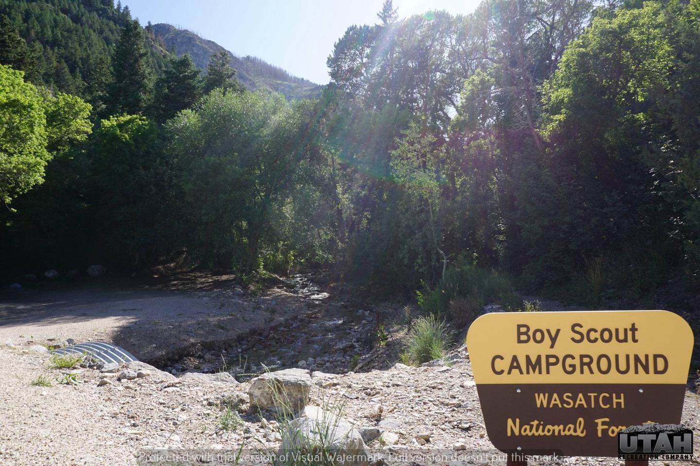
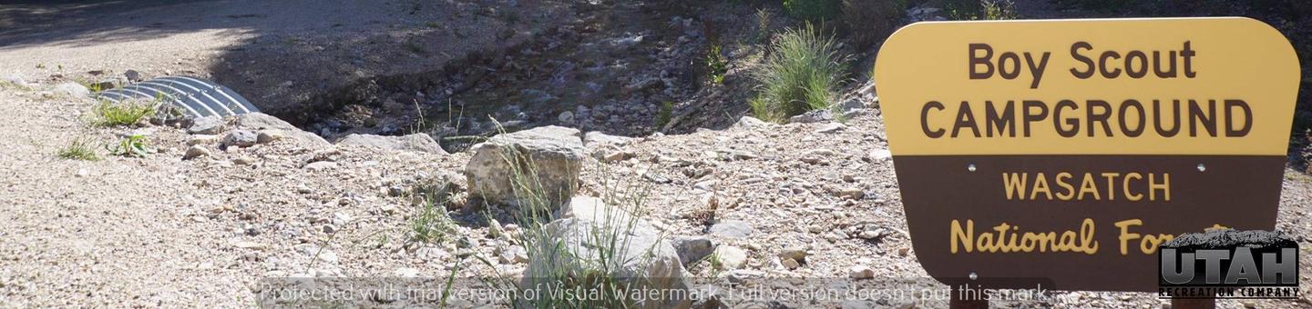
Boy Scout Campground is located southwest of Grantsville, Utah, in South Willow Canyon at an elevation of 6,320 feet. Visitors enjoy exploring local trails.
Recreation
The multi-use Stansbury Front Trail and Medina Flat Trail begin across the road from the entrance, offering access to the rugged Deseret Peak Wilderness. Willow Creek offers rainbow and brown trout fishing.
Facilities
This primitive campground contains one group site that can accommodate up to 35 people. Picnic tables, campfire circles and tent pads are provided, as are vault toilets. There is no water system in this campground. Bring all of the water that you will need for your stay.
7 Single Sites – $15.00, capacity – 8 people
1 Double Site – $31.00, capacity – 16 people
1 Group Site – $50.00, capacity – 35 people
Extra Vehicle fee – $8.00 per vehicle
Natural Features
The remote desert canyon is forested with oak, maple and juniper trees, which offer partial shade. Willow Creek flows through the site.
Nearby Attractions
South Willow Canyon Road is a very scenic drive in the Tooele County, in western Utah, USA. The road is mostly paved but becomes gravel at the National Forest boundary and winds through some very interesting narrows, but any vehicle should be able to make it.
The road is 7.1 miles long. The last 4 miles are unpaved. Its noted for its fantastic wildlife. Along the road there are five forest service campgrounds. Snow can usually be found on the upper part of the trail from November to the middle of June. The road is pretty steep and narrow. Although the South Willow Canyon road is paved, it is pitted with chuckholes and is not recommended for trailer use. The road ends at an elevation of 7,470ft (2.276m) above the sea level, at the beginning of the Deseret Peak Trail.
Charges & Cancellations
Change and Cancellation Policies and Fees
- Overnight and Day Use Facilities: To ensure fairness, reservation arrival or departure dates may not be changed beyond the booking window until 18 days after booking the reservation.
- Camping / Day Use: A $10.00 service fee will apply if you change or cancel your reservation (including campsites, cabins, lookouts, group facilities, etc.). The $10.00 service fee will be deducted from the refund amount.
- You can cancel or change reservations through Recreation.gov or by calling 1-877-444-6777.
Late Cancellations
- Overnight and Day Use Facilities: Late cancellations are those cancelled between 12:01 a.m. (Eastern) on the day before arrival and check out time on the day after arrival.
- Individual Campsites: If a customer cancels a reservation the day before or on the day of arrival they will be charged a $10.00 service fee and will also forfeit the first night’s use fee (not to exceed the total paid for the original reservation). Cancellations for a single night’s reservation will forfeit the entire use fee but no cancellation fee will apply.
- Cabins / Lookouts: Customers will be charged a $10.00 cancellation fee and forfeit the first night’s use fee if a cabin or lookout reservation is cancelled within 14 days of the scheduled arrival date. Cancellations for a single night’s use will not be assessed a service fee.
- Group Facility: If a customer cancels a group overnight facility reservation within 14 days of the scheduled arrival date they will be charged the $10.00 service fee and forfeit the first night’s use fee. Cancellations for a single night’s use will not be assessed a service fee.
- Group Day Use Area: If a customer cancels a group day use facility reservation within 14 days of the scheduled arrival date, they will forfeit the total day use fee with no service fee charge.
No-Shows
- Camping / Day Use: A camping no-show customer is one who does not arrive at a campground and does not cancel the reservation by check-out time on the day after the scheduled arrival date. Reserved campsites and group overnight facilities will be held until check-out time on the day following your scheduled arrival. Group day-use facilities will be held until check-in time on your scheduled arrival date.
- If a customer does not arrive at the campground or group facility by check-out time the day after arrival or does not cancel the reservation by the times listed under “Late Cancellations” above, the customer may be assessed a $20.00 service fee and forfeit use fees.
Refunds
- Customers must request refunds no later than 14 days after the scheduled departure date. Recreation.gov will not grant refund requests after 14 days of departure.
- Reservation Fee: For some facilities, tours or permits an additional reservation fee is charged. For some overnight and day-use facilities, an additional non-refundable reservation fee may apply. The non-refundable reservation fee for tours and tickets is $1.00. The non-refundable reservation fee for permits varies by location.
- Refunds for Bankcard Purchases: Refunds for bank card payments will be issued as a credit to the original bank card.
- Refunds for Check or Cash Purchases: Refunds for Recreation.gov payments made by check or money order, and cash payments at selected campgrounds will be issued a check refund. A refund will be processed within 30 days of receipt and approval. Please Note: Refund requests made during or after departure can only be processed when approved by the facility management staff based upon local policy.
- Refunds for Emergency Closures: In the event of an emergency closure, the Recreation.gov team will attempt to notify users and offer alternate dates (as appropriate). If this is not possible, reservations will be cancelled and all fees paid will be refunded. Reservation fees for free tickets are non-refundable in the event of an emergency closure.
Recreation.gov Billing Information
- Reservation transaction will appear on customer’s credit card statements as “Recreation.gov 877-444-6777.”
Changes to Policies and Procedures
- Recreation.gov reserves the right, when necessary, to modify reservation policies. These policies were last updated July 2018.