
Directions
Campground is only reachable by boat. Travel north from Priest River, Idaho on State Highway 57 to various boat launches around the lake.
To access the Kalispell Bay Boat Launch, travel on Highway 57 for 31 miles to Kalispell Bay Road. Turn east (right) until you reach West Lakeshore Road. Head south .5 miles to the boat launch.
Phone
208-443-2512
Activities
BOATING, CAMPING, FISHING, HIKING, WATER SPORTS
Keywords
sunrise group site,baritoe island group site,sunrise campground
Related Link(s)
Overview
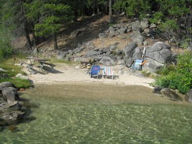
Surrounded by clear waters of Priest Lake, the 25 sites on Bartoo Island provide the ideal getaway for people looking for a rugged, but highly rewarding, camping experience on the peaceful shores of Priest Lake. There are 24 single sites on the island as well as one group site known as Sunrise Group Site. This group site has been renumbered from site #001 to site #23 for groups of 10-30 individuals. All sites are only reachable by boat.
Recreation
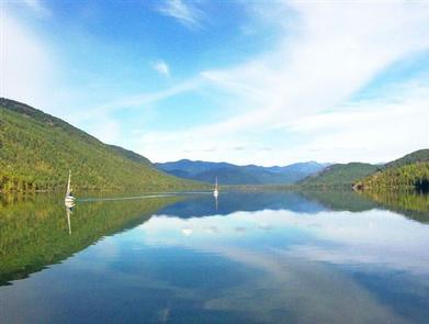
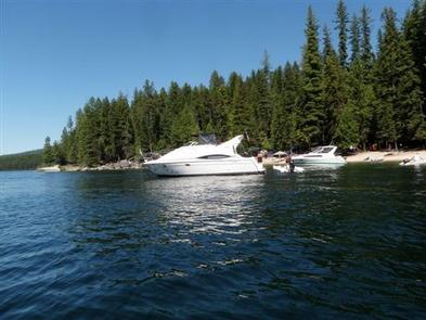
Visitors enjoy all types of boating from kayaking to canoeing to power boating up the 3.5-mile thoroughfare, which leads to the Upper Priest Lake Scenic Area. The upper lake cannot be access by car, so water is an excellent navigation option.
Fantastic birding and wildlife viewing is available, as well as Huckleberry picking from mid-july to early fall, when the sweet berries can be found in abundance throughout the forests of Northern Idaho.
Swimming is a popular summer pastime and with beach access not far from the campground, visitors won’t have any problem cooling off during warmer months.
Anglers will be excited to know that the waters of Priest Lake are home to record-breaking Mackinaw trout as well as Dolly Varden, Cutthroat and Kokanee.
Facilities
Campers are required to bring their own portable toilets to this campground. They can check out toilet buckets at the Kalispell Boat Launch.
Bartoo Island can only be access by boat. No drinking water is available and this is a pack it in, pack it out facility. Picnic tables and campfire rings are provided.
Natural Features
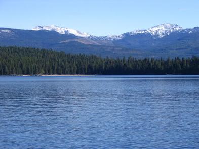
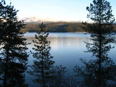
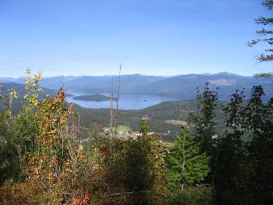
Priest Lake spans 25,000-acres of incredible beauty, fed primarily by the waters of the Priest River. Named after the historical presence of Jesuit priests who settled in the lake area in the mid 19th century, Priest Lake is today a major tourist attraction, drawing water sports enthusiasts, photographers and birders alike.
The group campground is located on the east side of Bartoo Island at an elevation of 2,400 feet. Bartoo, spanning 219 acres, is one of nine islands on Priest Lake.
Summers at the lake are typically sunny and warm and wildlife in the area includes bears, deer and moose.
Nearby Attractions
Hike the Lakeshore or Beach Trails that traverse along the west shore of Priest Lake. The Beach trail extends between Outlet Bay Campground and the Kalispell Bay Boat Launch. The Lakeshore Trail runs for 8 miles along the northwest shores of Priest Lake.
In winter, ice fishing, shoe shoeing and snowmobiling on nearby trails entertain visitors.