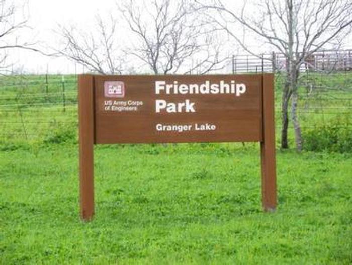
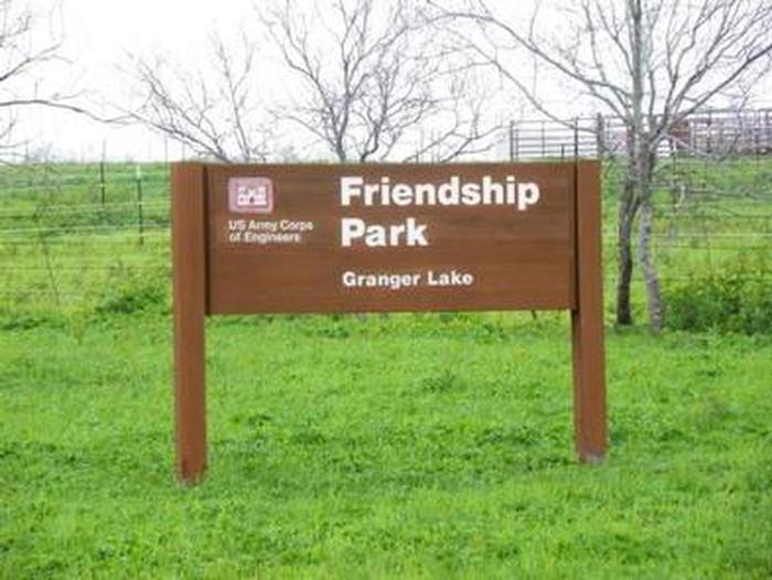
FRIENDSHIP PARK, TX Campground Reservation, Info, Images, Map, Directions

FRIENDSHIP PARK, Texas Campground Images, Info & Reservations

Listen

Directions

From I-35 take Highway 79 east to Highway 95. Go North to FM 1331 then go East on FM 1331 for approximately 7 miles to the entrance of Granger Dam. Turn left and continue across Dam. Turn left on FM 971 go for approximately 1.5 miles and turn left into the park.

Phone

512-859-2668

Activities

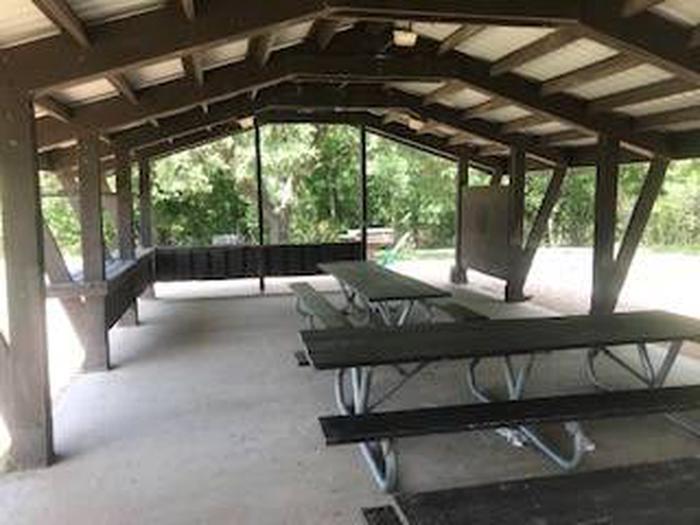
CAMPING, WILDLIFE VIEWING

Keywords

Friendship,Lake Granger,Granger Lake,Granger,Granger Park

Related Link(s)

Rec Area Info & Images

Texas State Road Conditions

Texas State Tourism

Overview

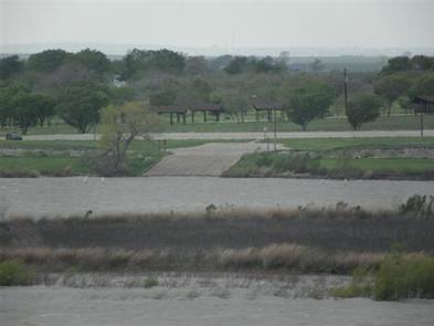
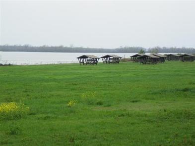
Friendship Park is located in the gently rolling hills of the Texas Blackland Prairie. In the Spring it offers and exceptional array of wildflowers that blanket the landscape. Friendship Park is approximately 15 miles from Taylor, TX and 40 miles from Austin, TX.

Reservation

More from CampingHiking.net:

LOST LAKE CAMPGROUND, Wisconsin Campground Images, Info & Reservations

Listen Directions From Florence, travel west 17 miles on STH 70 to the intersection with FR2450 (Dream Lake Road). Turn left (south) on FR2450 and drive 1 mile to FR2156 (Chipmunk Rapids Road). Continue straight 2.9 miles on FR2156 to the campground. Phone (715) 479-2827 Activities BIKING, BOATING, CAMPING, FISHING,

BUTTE LAKE, California Campground Images, Info & Reservations

Listen Directions From Redding, California drive 63 miles east on State Highway 44 to Old Station. From the intersection of 44 and State Highway 89, continue east on 44 for 11 miles. Watch for sign to Butte Lake Campground. Turn right and continue for six miles on a rough gravel

Dundo Group Campground, Virginia Campground Images, Info & Reservations

Listen Directions From Washington, D.C., metro area, travel west on Interstate 66 to exit 43A. Take US Highway 29 south approximately 55 miles to Ruckersville, Virginia, then take US Highway 33 west to Shenandoah National Park and Skyline Drive Swift Run Entrance. Follow Skyline Drive south approximately 18 miles and

BALD BUTTE LOOKOUT, Oregon Campground Images, Info & Reservations

Listen Directions From the Paisley District Office, travel 0.5 miles north on Highway 31 and turn left on Mill Street. Stay on Mill Street to the Y junction (turns into gravel at this point) , then turn right on Forest Road 3315. Continue on Forest Road 3315 for 21 miles.