

Directions
From Gore, OK, drive six miles northeast on Highway 100, then 1.5 miles north on Highway 10A. Look for signs and drive a quarter-mile east on paved access road.
Phone
918-487-5252
Activities
BOATING, CAMPING, HIKING, SWIMMING SITE
Keywords
STRL,TENKILLER LAKE,TENKILLER FERRY LAKE,TENKILLER FERRY
Related Link(s)
Oklahoma State Road Conditions
Overview
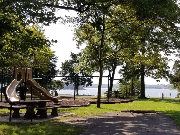
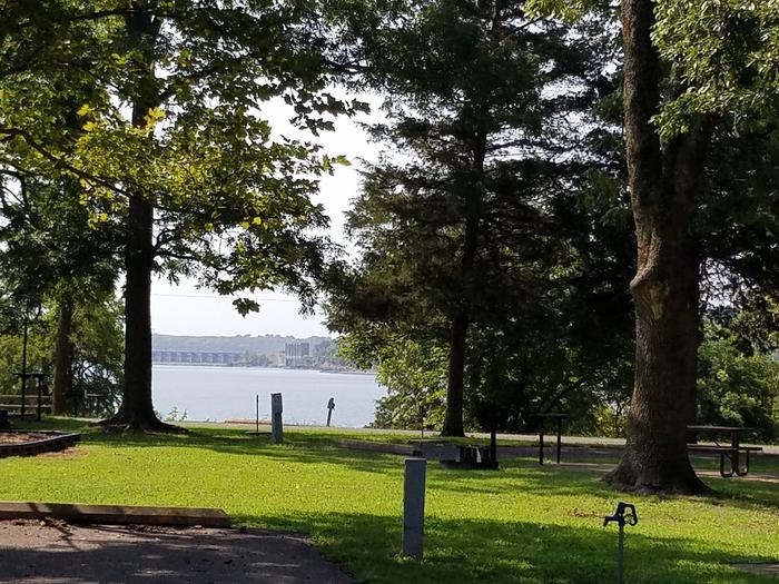
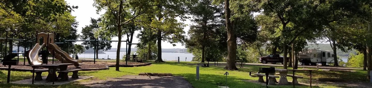
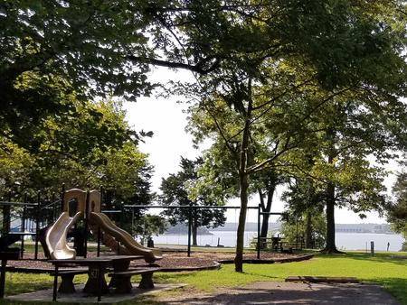
Strayhorn Landing, located on a peninsula on Tenkilller Ferry Lake, is an excellent place to relax and have fun on Tenkiller Ferry Lake. With modern facilities, a panoramic view of the lake, convenient access to boating, and plenty of opportunities to view wildlife, it’s no wonder campers come here year after year.
Recreation
Boating, fishing, water skiing, hiking, and swimming are some of the activities enjoyed by visitors. Prevailing winds and secluded coves create an ideal environment for sailing. Scuba divers enjoy the lake’s clear waters and high visibility. Fishing is good for black bass, white bass, striped bass, crappie and catfish. The trout stream below the dam is one of only two year-round trout fisheries in Oklahoma, and is regularly stocked with rainbow trout. Hunting is also permitted in parts of the lake area, in accordance with federal and state laws.
Facilities
All campsites are equipped with electric hookups. The group shelters also have electricity. The park has flush toilets, hot showers, water hydrants, a swim beach, playground, dump station, boat ramps, and a day use area. A marina with concessions is adjacent to the campground. Of the ten marinas with concessions located on the lake, most offer boat and jet-ski rentals, and several have floating restaurants.
Natural Features
Tenkiller Ferry Lake is often referred to as “Oklahoma’s clear water paradise.” The 12,500 acre lake is sourced by the Illinois River and the Baron Fork, which are both designated as Oklahoma Scenic Rivers. It is nestled in the foothills of the Ozark Mountains in the northeastern part of the state. This area, known as Green Country, is surrounded by dense oak-hickory forests, tall bluffs, and rolling hills. The lake has 130 miles of shoreline with plenty of wildlife such as deer and turkey. It serves as one of the flyways of migratory birds, including bald eagles, common loons, and white pelicans.
Nearby Attractions
Visit the Tenkiller State Park for its nature center and scuba diving park, the Sequoyah National Wildlife Refuge near Vian, or the historic city of Tahlequah – the capital of the Cherokee Nation. The scenic upper Illinois River near Tahlequah is great for canoeing and rafting, and the lower Illinois near Gore offers prime trout fishing.