Directions
From Wrightwood, CA, take State Rt. 2 west 2.4 miles to Palmdale/Jackson Lake sign (County Rt. N4/Pines Highway). Turn right onto Rt. N4 and go 3.1 miles to campground sign. Turn right into campground.
Phone
760-249-3526
Activities
BOATING, CAMPING, FISHING, HIKING, WILDLIFE VIEWING, SWIMMING SITE, CANOEING, BIRDING, SCENIC DRIVE
Keywords
MOUN,ANGELES NF – FS,Mt. Oak,Mt Oak
Related Link(s)
California State Road Conditions
Overview
Escape to Mountain Oak Campground in the Angeles National Forest for a restful, refreshing getaway from city life. Just northwest of the Los Angeles metro area, Mountain Oak provides a scenic and relaxing destination for camping, hiking, picnicking and wildlife viewing.
The campground is also near Jackson Lake for easy access to fishing, canoeing and swimming.
Recreation
Swim or canoe in the refreshing waters of Jackson Lake, the only lake near Wrightwood. The lake is stocked with trout and bluegills. Powerboating is not permitted in the lake, so the setting is peaceful and quiet.
Hikers can find trails near the campground.
Facilities
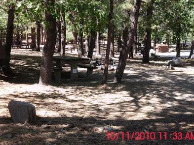
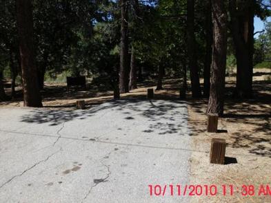
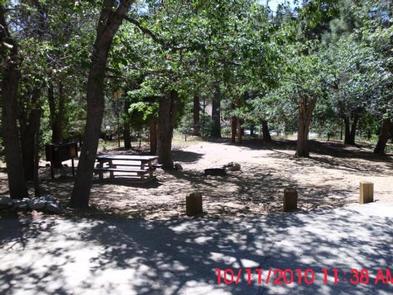
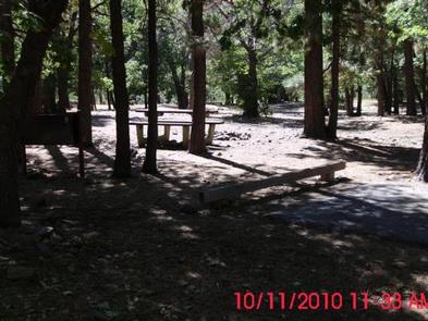
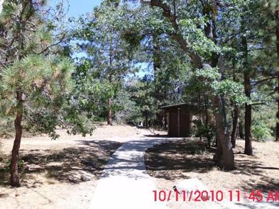
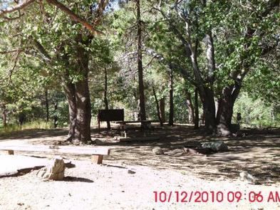
The single-loop campground provides lots of shade from towering trees but minimal privacy from neighboring campgrounds. Ground cover is mostly pine needles and leaves.
Bear-proof food containers are provided at each campground and amenities include picnic table, grills and flush toilets. Drinking water is also available.
A camp host is on-site, offering firewood for sale.
Natural Features
At an elevation of 6,400 feet, Mountain Oak is shaded by oak, ponderosa and sugar pines in the Angeles National Forest. This forest, spanning across most of the San Gabriel Mountains, provides a striking backdrop for the Los Angeles area.
Jackson Lake spans just 3 acres and lies in the San Gabriel Mountains. Formed by the San Andreas fault, the lake is primarily fed by snow runoff from the mountains and is hugged by grass and sand beaches. The lake is ideal for listening to nature’s soundtrack, complete with sounds of birds singing and leaves rustling in mountain breezes.
A diverse variety of animal life exists in Angeles National Forest, such as bobcat, mountain lion, bear and Nelson bighorn sheep. Many species of birds and smaller animals also inhabit the forest.
Nearby Attractions
The Angeles Crest Highway, part of California State Route 2, is a scenic byway that meanders through oak thickets, chaparral, high desert landscapes and pine tree forests.

