
Directions
The campground is located 13 miles west of Huntington, Utah, along Highway 31.
Phone
435-384-2372
Activities
BIKING, CLIMBING, CAMPING, FISHING, HIKING, HUNTING, WILDLIFE VIEWING
Keywords
LBEA,MANTI-LASAL NF -FS
Related Link(s)
Overview
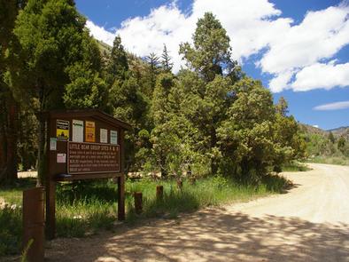
Little Bear Group Campground is located in beautiful Huntington Canyon along the Huntington Canyon National Scenic Byway on Utah Highway 31. It sits at an elevation of approximately 6,500 feet. Many recreational activities are available, including hiking, biking and fishing.
Recreation
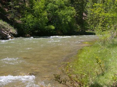
Popular activities include fishing, hunting, hiking, mountain biking, horseback riding, rock climbing and scenic driving. Huntington Creek is a Blue Ribbon fishery, offering high quality fishing for brown, cutthroat and rainbow trout.
The 4-mile Left Fork of the Huntington National Recreation Trail is nearby and open to hikers and horseback riders. The 10-mile Fish Creek Trail, for hiking, biking and horseback riding is also near the campground.
Facilities
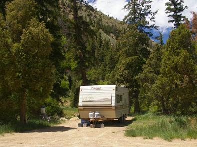
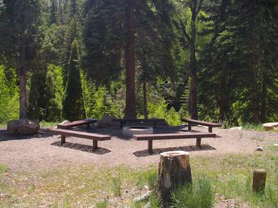
Little Bear Group Campground is made up of two large-group campsites, for tent and RV camping. To reserve the entire campground, both sites (A and B) must be reserved at the same time. Each site can accommodate up to 50 people and 15 vehicles. Adjacent parking areas are dirt.
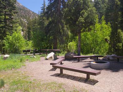
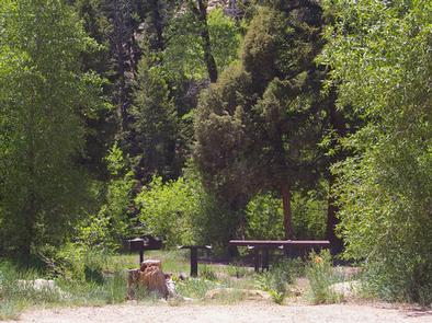
The campsites are equipped with tables and campfire rings with grills. Vault toilets are provided. Utility hookups are not available. Drinking water and trash collection facilities are not available at the campground. Visitors should bring their own water and pack out all garbage.
Natural Features
Pines and junipers offer plentiful shade and Huntington Creek runs alongside the campground. The canyon area has numerous lakes and streams, vibrant summer wildflowers, colorful fall foliage and abundant wildlife.
Nearby Attractions
The Huntington Canyon National Scenic Byway is part of the 86-mile Energy Loop. It offers stunning mountain and lake views as it tops 10,000 feet in elevation.
The historic Stuart Guard Station Visitor Center is nearby, offering a glimpse of the 1930s life of a ranger and his family who once lived there. Exhibits of Civilian Conservation Corps projects and original equipment are also on display. Area information is available there as well.