
Directions
From Huntington, Utah, travel north on Utah Highway 31 for 23 miles, to the campground. It is on the west side of Highway 31, at the mouth of Day Canyon.
Phone
(435)384-2372
Activities
BIKING, CLIMBING, CAMPING, FISHING, HIKING, HUNTING, WILDLIFE VIEWING
Keywords
BRID,BRIDGES CAMPGROUND,DAY CANYON CAMPGROUND,MANTI-LASAL NF -FS
Related Link(s)
Overview
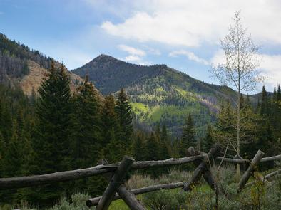
Bridges Campground is located in beautiful Huntington Canyon, along the Huntington Canyon National Scenic Byway on Utah Highway 31. It is situated at an elevation of approximately 8,700 feet. Many recreational activities are available, including hiking, biking and fishing.
Recreation
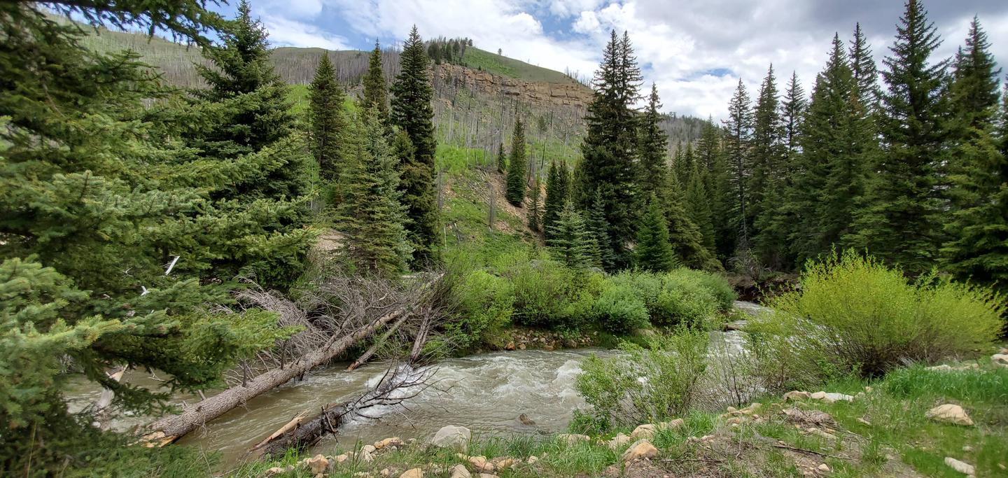
Popular activities include fishing, hunting, hiking, mountain biking, horseback riding, rock climbing and scenic driving. Huntington Creek is a Blue Ribbon fishery, offering high quality fishing for brown, cutthroat and rainbow trout.
The 4-mile Left Fork of the Huntington National Recreation Trail is nearby and open to hikers and horseback riders. The 10-mile Fish Creek Trail, for hiking, biking and horseback riding is also close by. Although horses are not allowed in the campground, two hitching racks are provided just across the highway.
Facilities
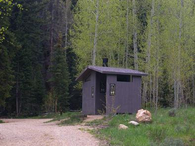
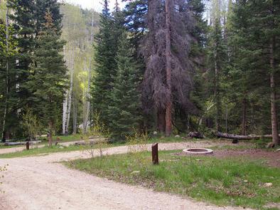
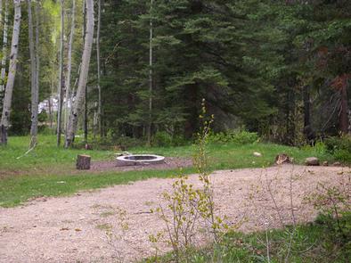
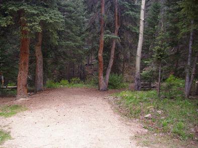
The campground offers one group sites that can accommodate groups of 30 people, respectively. Four single-family campsites are also available. Vault toilets are provided, but there is no drinking water, electricity or garbage services offered within the campground. Roads and parking spurs are dirt.
Natural Features
Large spruce trees and aspens cover the campground, offering plentiful shade. Huntington Creek runs alongside the campground. The canyon area has numerous lakes and streams, vibrant summer wildflowers, colorful fall foliage and abundant wildlife.
Nearby Attractions
The Huntington Canyon National Scenic Byway is part of the 86-mile Energy Loop. It offers stunning mountain and lake views as it tops 10,000 feet in elevation.
The historic Stuart Guard Station Visitor Center is nearby, offering a glimpse of the 1930s life of a ranger and his family who once lived there. Exhibits of Civilian Conservation Corps projects and original equipment are on display. Area information is available as well.