
Directions
Take State Highway 2 west of Spokane for 32 miles. Turn north on State Highway 25 at the town of Davenport and travel 24 miles. Follow the signs to the campground.
Phone
509-754-7889
Activities
BIKING, BOATING, HISTORIC & CULTURAL SITE, CAMPING, INTERPRETIVE PROGRAMS, FISHING, HIKING, PICNICKING, VISITOR CENTER, WATER SPORTS, WILDLIFE VIEWING, DAY USE AREA, SWIMMING, CANOEING, WATER ACCESS
Keywords
FOSP,MILES CAMPGROUND,THE OLD FORT CAMPGROUND,LAKE ROOSEVELT
Related Link(s)
Washington State Road Conditions
Overview
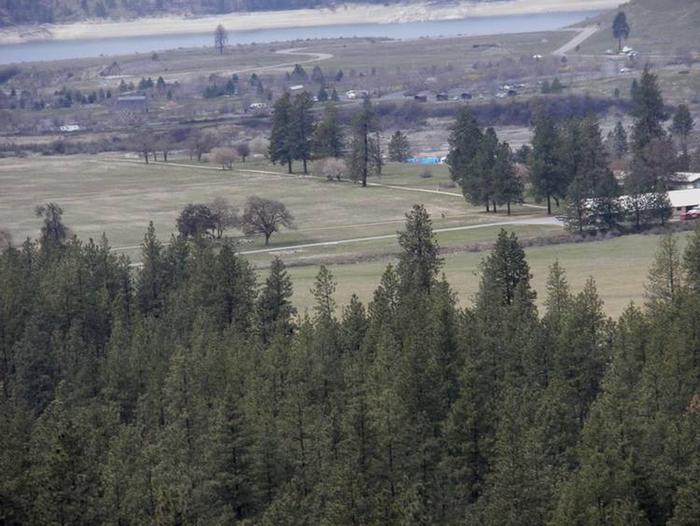
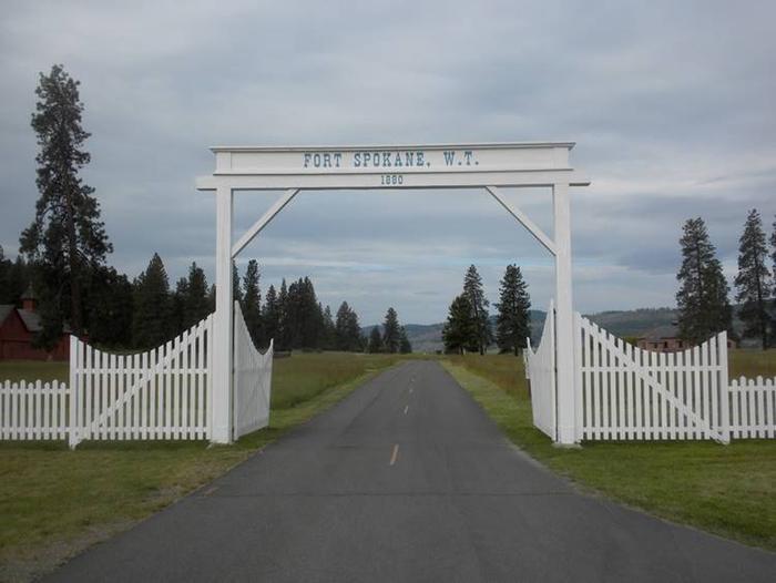
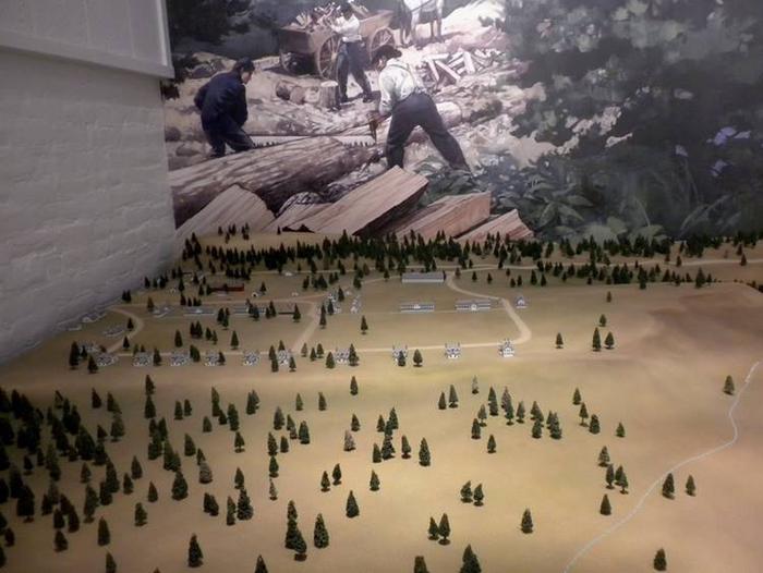
Fort Spokane Campground is a great destination for history buffs, birders and boaters, and the perfect location for travelers who like a combination of history and recreation. The facility lies on the shoreline of Lake Roosevelt next to the grounds of a former military fort constructed to keep peace between early settlers and American Indians.
Visitors can spend a few hours learning about the fort and Indian boarding school, by taking a stroll to the museum across the street. Afterwards, visitors can enjoy boating, fishing, birding or taking in the scenery around the lake at this year-round campground.
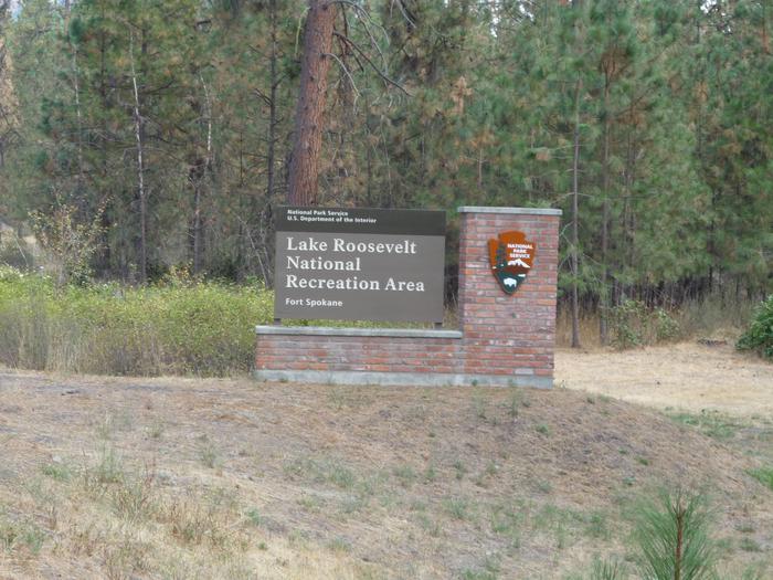
Lake Roosevelt is a 130-mile lake of the Columbia River created by the Grand Coulee Dam. Named after President Franklin D. Roosevelt, it is part of the Lake Roosevelt National Recreation Area and managed by the National Park Service.
Recreation
Fort Spokane boasts some of the best bird habitats in the Lake Roosevelt National Recreation Area. The prime viewing spot is Hawk Creek, only a few miles away. Birders often see Peregrine falcons, Blue herons, finches, Bald eagles, osprey and even the occasional Golden eagle.
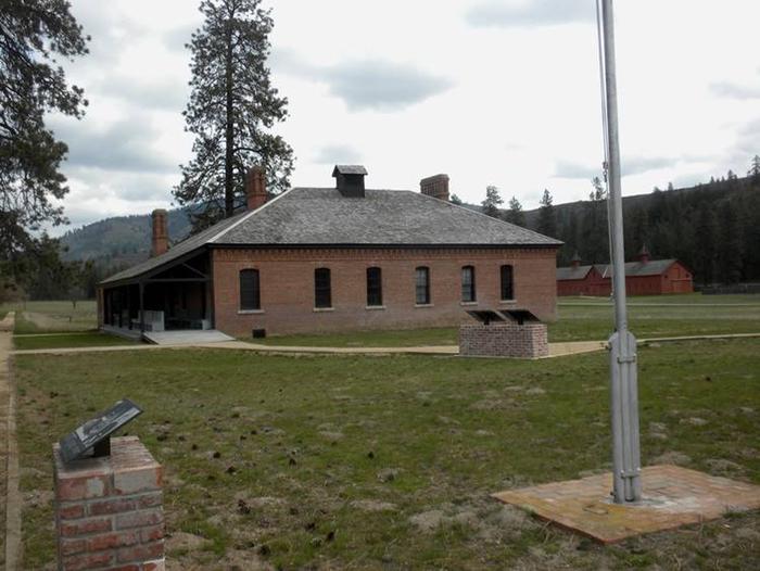
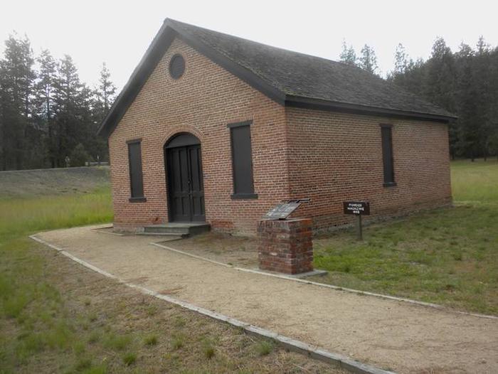
The former guard house of the fort is still standing and has been converted to a visitor center and museum directly across the street from the campground. The center is open from June through Labor Day, teaching visitors about the military history and Indian boarding school through interpretive programs and exhibits. An interpretive trail around the grounds is open year round, for a more self-guided tour.
The lake is abundant with walleye, bass, rainbow trout and salmon, making it a popular place for fishing throughout the year; the shoreline along Fort Spokane does not typically freeze in winter and the campground’s boat-launch is open all year.
Facilities
The campground has 67 individual sites. It is open year-round, however drinking water is shut off in winter. A convenience store and gas station are nearby for campers to replenish basic goods.
Natural Features
Fort Spokane lies on the water amidst Ponderosa pines and shrubs. It is near the confluence of the Spokane River and the Columbia River (Lake Roosevelt). The lake has comfortable temperatures during summer, even though much of the water originates from glaciers and snow in the cold, high Canadian Rockies. The lake area is abundant with wildlife, including moose, elk, deer, bighorn sheep, birds and fish.
Nearby Attractions
The reservation of the Spokane Tribe of Indians is near the campground at the confluence of the Spokane and Columbia Rivers. There is a restaurant on the reservation.