
Directions
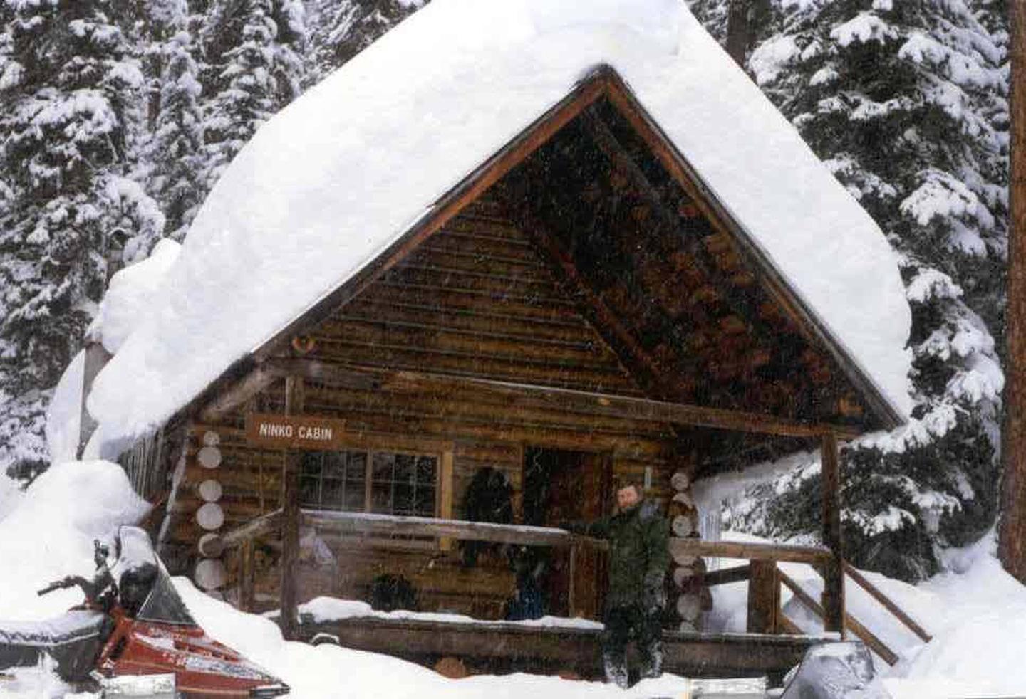
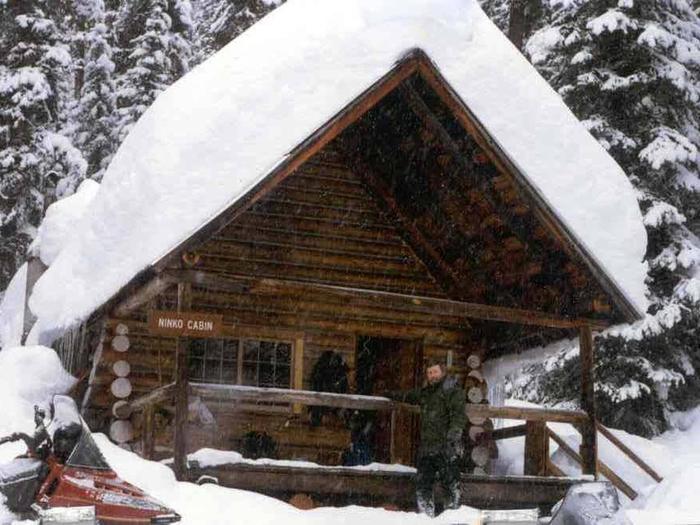
From Columbia Falls, travel north on Nucleus Avenue and turn east on Railroad Street at the stop sign. The road becomes the North Fork Road as it travels about 45 miles and over the railroad overpass. Turn left on Whale Creek Road 318 and park in the plowed pullout. Then ski, snowshoe or snowmobile about 7 miles from the parking area to the gated road No. 10832. Continue northwest for about 2 miles to Ninko Cabin. Signs are posted along the way.
The North Fork Road is gravel, rough in spots and only intermittently plowed during the winter months. A four-wheel drive vehicle and chains are recommended for passage in winter.
Phone
406-387-3800
Activities
HISTORIC & CULTURAL SITE, CAMPING, HIKING, WINTER SPORTS, WILDLIFE VIEWING
Keywords
NINK,NINKO,FLATHEAD NF – FS
Related Link(s)
Overview
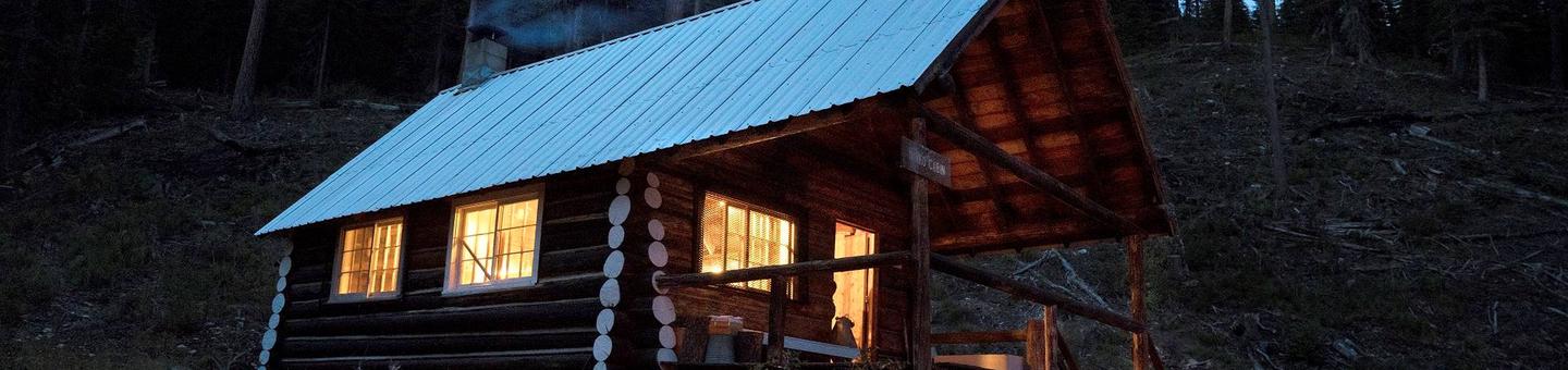
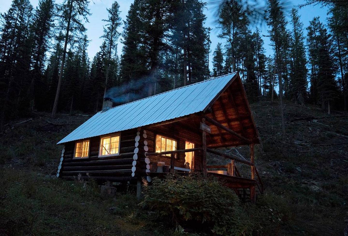
Ninko Cabin is located 45 miles north of Columbia Falls, in northwestern Montana. It is an ideal rental for winter sports enthusiasts. Open only during cold months, the cabin provides a rustic, cozy setting with a good chance for pristine snow-capped scenery. It also provides access to a variety of recreational activities.
The cabin can be accessed via a 12-mile hike, snowshoe, ski or snowmobile trek from North Fork Road. Guests are responsible for their own travel arrangements and safety, and must bring several of their own amenities.
Recreation
Cross country skiing, snowmobiling and snowshoeing are popular activities enjoyed by visitors to the area. Reaching the cabin on the 12-mile journey is part of the snow-sport fun to be had when visiting the cabin.
Facilities
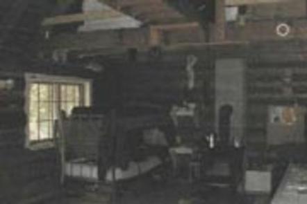
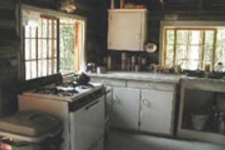
The rustic cabin sleeps six with two bunk beds and two single beds. Amenities include a propane cook stove, lights, wood stove for heating, and a vault toilet. Pets are allowed, but cleaning up after them is required.
No water is available. Renters should pack their own bedding, drinking water, food, matches and all basic camp gear. Click here for more cabin details. Guests will need to clean the cabin, carry out all trash and replenish cut firewood supply prior to departure.
Natural Features
The cabin sits in a mountain valley, near Whale Creek, at an approximate elevation of 4,600 feet. Surrounding peaks include Hornet Mountain and Mount Thompson-Seton.
The Glacier View Ranger District is bordered on the east by the Middle Fork of the Flathead River and Glacier National Park. To the north is Canada and west is the Kootenai National Forest. A variety of wildlife make its home in the area.