
Directions
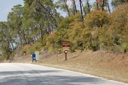
Mill Dam is located just off of Highway 40, approximately 15 miles east of Silver Springs, Florida, and 50 miles west of Ormond Beach. From 40, look for the Mill Dam/Half Moon signs about a quarter-mile from the recreational area turnoffs.
Phone
352-625-2520
Activities
CAMPING, HIKING, WATER SPORTS, SWIMMING SITE
Keywords
MDAM,MILL DAM LAKE,MILL LAKE,DAM LAKE,MILL DAM,NFs IN FLORIDA – FS
Related Link(s)
Overview
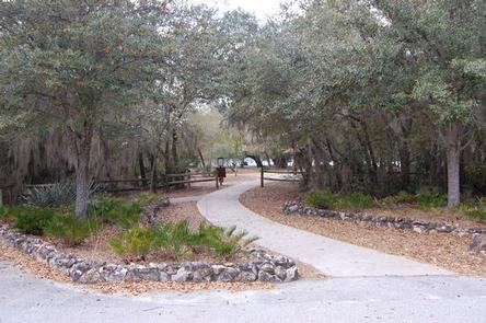
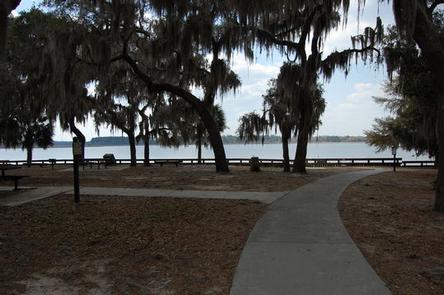
Mill Dam Group Campground offers a fun and relaxing setting for groups of up to 150 to enjoy Ocala National Forest. Large picnic shelters and access to outdoor and water recreation make this area ideal for family reunions and other large parties.
Recreation
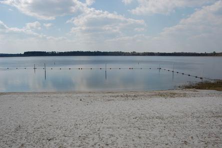
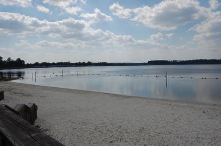
The campground sits along the 168-acre Mill Dam Lake, and water activities are popular among campers and day-use visitors.
Anglers come from all over to enjoy bass fishing. Campers can bring their boats, canoes and kayaks for easy access to the water via an adjacent boat ramp.
A large swimming beach and picnic area are great ways to keep the kids entertained.
Facilities
In the spring, summer and early fall, Mill Dam is a day-use area only. For the remainder of the year, it becomes a group campground and recreation area for both day-use and tent camping.
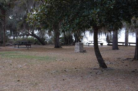
Amenities include a picnic shelter, group grills, picnic tables and flush toilets. The parking lot can hold up to 70 vehicles.
A boat ramp adjoins the recreation area, on a separate entrance.
Natural Features
Located in north central Florida, the Ocala National Forest spans four counties and 383,000 acres. It is the southernmost and oldest national forest east of the Mississippi River and protects the world’s largest contiguous sand pine scrub forest.
The campground and recreation area sit in the shade of live oak trees overlooking Mill Dam Lake. Numerous animals make their home in the area, including alligators, turtles, deer, raccoons, black bear and many bird species.
Nearby Attractions
The Ocala National Forest is notable for its extensive off-road trail system catering to both ATV enthusiasts and Jeeps, as well as being a traditional destination for deer hunters from around Central Florida. These opportunities are available within a short drive.