
Directions
From Downieville, travel south on Highway 49 for about 13 miles. The campground is on the right side of the highway.
Phone
(530)478-6253
Activities
BIKING, BOATING, CAMPING, FISHING, HIKING, HUNTING
Keywords
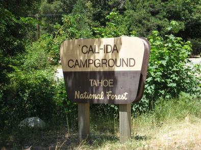
CALI,TAHOE NF – FS
Related Link(s)
California State Road Conditions
Overview
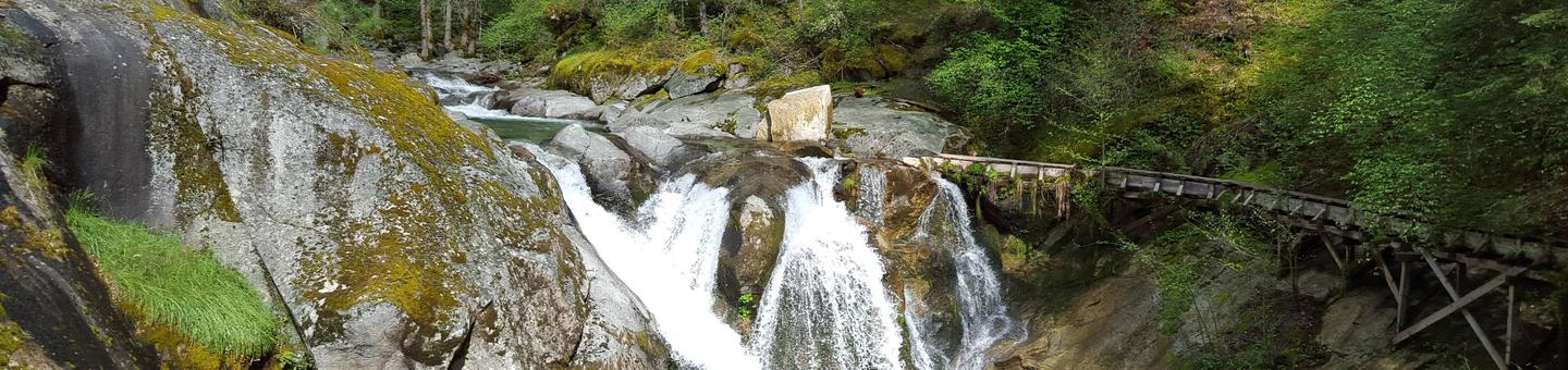
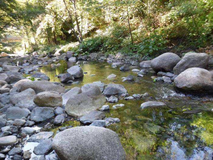
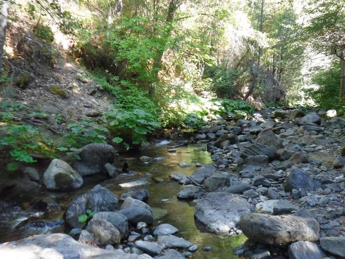
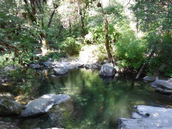
Cal-Ida Campground is located on Highway 49, across the road from the North Yuba River and 13 miles from Downieville. Visitors enjoy a wide variety of recreational activities in the area, including hiking, fishing, biking and enjoying the cool waters of the North Yuba River. This facility is operated and maintained by the Tahoe National Forest.
Recreation
The North Yuba River offers swimming, wading and rainbow trout fishing. Seasonal rafting, and kayaking are popular water activities. A network of trails is located within the surrounding area including the nearby North Yuba River Trail.
Facilities
The campground offers single-family campsites, some of which are designated for tent camping only. Each site is equipped with a picnic table and campfire ring. Vault toilets and drinking water are provided.
Natural Features
The campground lies across the highway from the North Yuba River. Oak, maple and locust trees are scattered throughout the campground, offering some shade.