SKILLMAN, CA Campground Reservation, Info, Images, Map, Directions

SKILLMAN, California Campground Images, Info & Reservations

Listen

Directions

From Nevada City, travel east on Highway 20 for 14 miles. Turn right at the Skillman Campground sign and then left at the first road intersection into the campground. From Interstate 80 take exit 161, Highway 20 to Nevada City and drive 13 miles west toward Nevada City. Turn left at the Skillman Campground sign and then turn left at the first road intersection into the campground.

Phone

530-478-6253

Activities

BIKING, CAMPING, HIKING, HORSEBACK RIDING, HORSE CAMPING, MOUNTAIN BIKING, SCENIC DRIVE

Keywords

SKMN,TAHOE NF – FS

Related Link(s)

Rec Area Info & Images

California State Tourism

California State Road Conditions

Overview

Skillman Campground has individual sites with enough room for parking trucks with trailers. Some of the sites have horse pens and water troughs for horses. It is located in the Tahoe National Forest near Nevada City and three historic mining towns.

Recreation

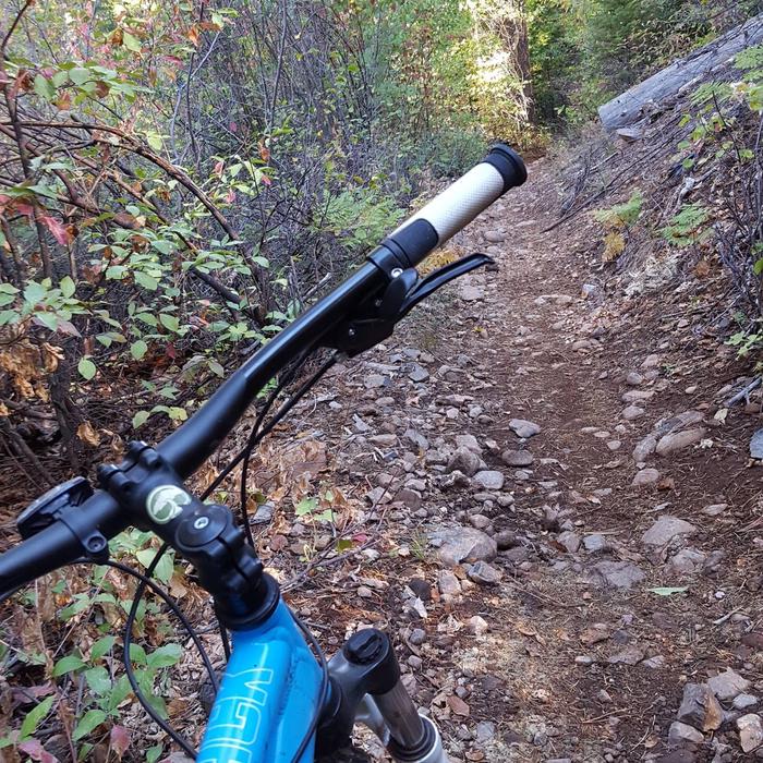
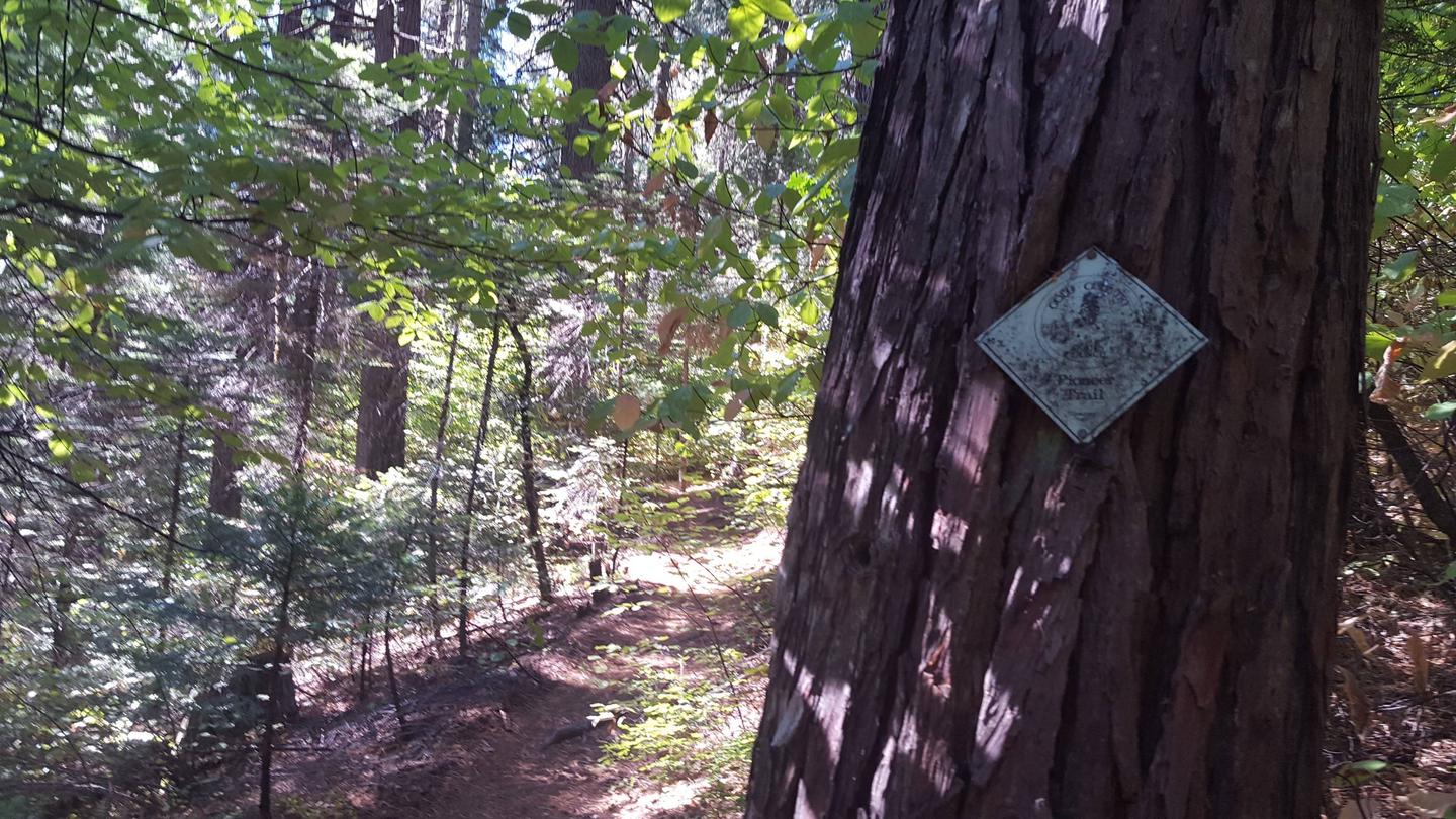
The Pioneer Trail stretches 25 miles through the Tahoe National Forest and can be accessed from the campground. The popular trail was designated a National Recreation Trail in 2003. Horseback riding, hiking, mountain biking and cross-country skiing are favorite activities on this popular trail.  

Facilities

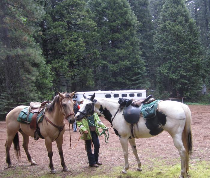
Two horse pens are in sites 7,9,13, and 15. Water troughs are found in the campground. Site 4 is a double site and has 4 horse pens. Each single site can accommodate up to six people, four horses and two vehicles. 

Natural Features

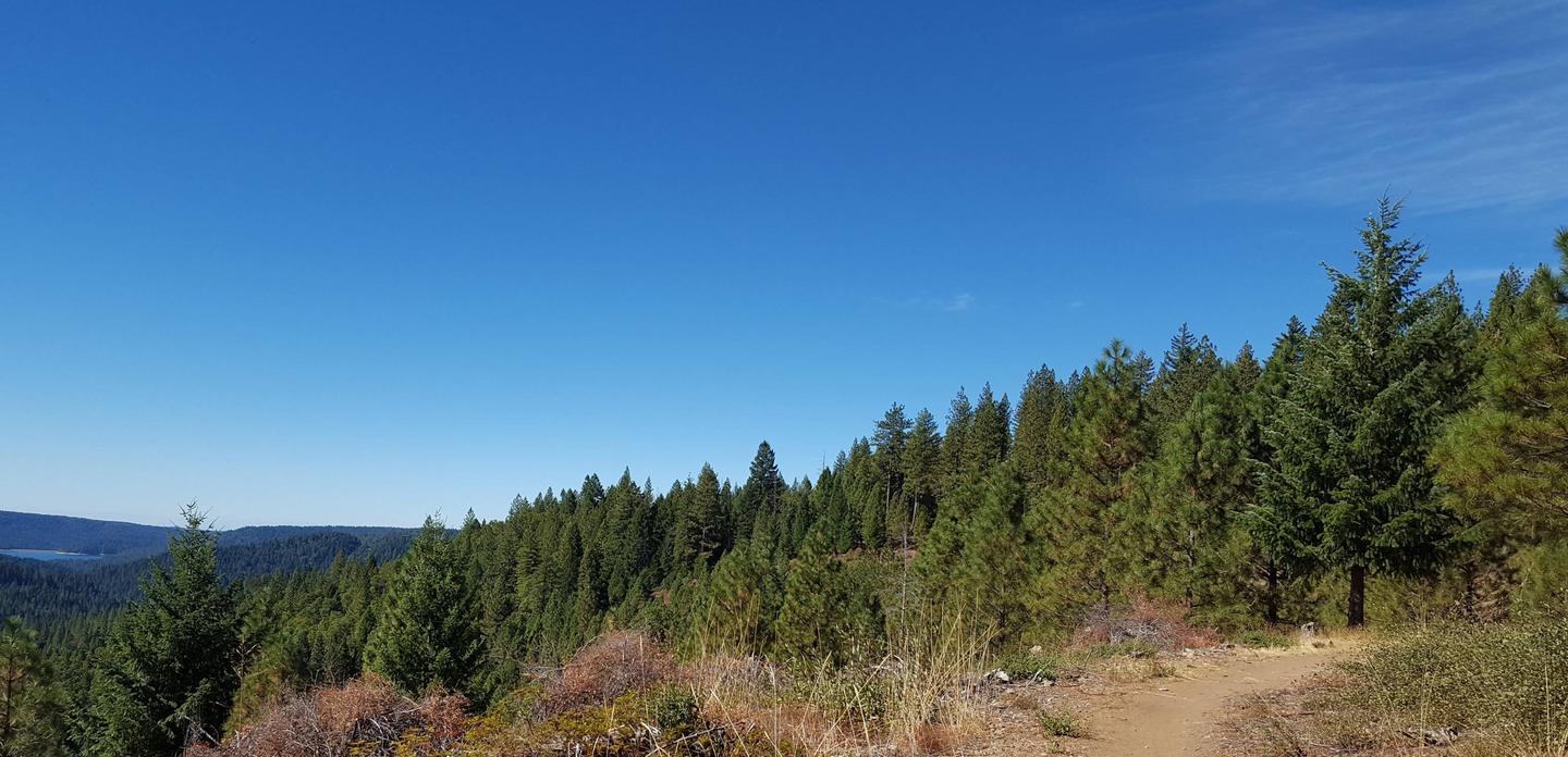
The campground is situated in a forest of dogwood, cedar and Douglas fir trees, at an elevation of 3,700 feet.

Nearby Attractions

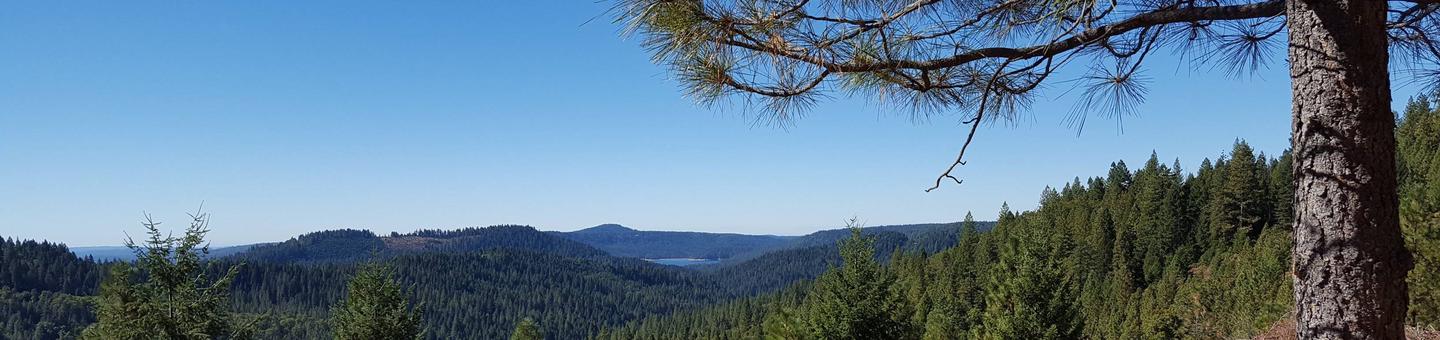
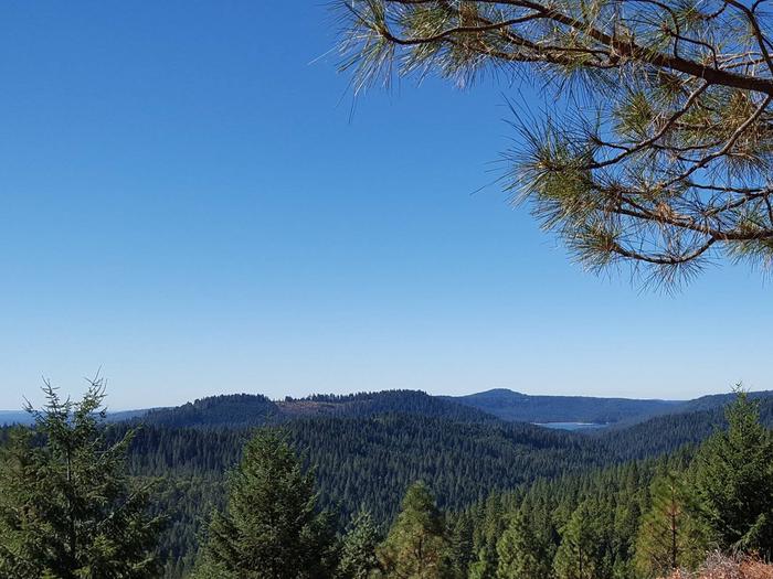
Skillman Campground is located on the Yuba Donner Scenic Byway (Highway 20) near many gold rush era historical sites and old mining towns such as Washington and Nevada City. Nevada City, about 14 miles west, is a scenic historical mining town with many historical attractions, top notch restaraunts, various lodging options, shopping, and stores for everything you may need. Other attractions include the South Yuba River, Washintong Scenic Overlook, Alpha and Omega Scenic Overlook and Interpretive Trail, Rock Creek Nature Trail, Chalk Bluff OHV trails, and Grouse Ridge Non-Motorized Area.

Reservation

More from CampingHiking.net:

HAWTHORN BLUFF, Oklahoma Campground Images, Info & Reservations

Listen Directions From Tulsa, Oklahoma, take U.S. Highway 169 north for 27 miles to Highway 88. The campground is 2 miles east of the town of Oologah on Highway 88. Phone 918-443-2319 Activities BOATING, CAMPING, FISHING, HIKING, VISITOR CENTER, WATER SPORTS, DAY USE AREA, SWIMMING SITE Keywords HAWT,OOLOGAH LAKE,OOLOGAH LAKE

SHELL CREEK, Wyoming Campground Images, Info & Reservations

Listen Directions Located 32 miles east of Greybull, Wyoming, on U.S. Highway 14. Turn off onto Paintrock Lakes Road (Forest Road 17). Shell Creek Campground is 1.5 miles from the turnoff. Phone 406-587-9054 Activities BIKING, CAMPING, FISHING, HIKING, HORSEBACK RIDING, WILDLIFE VIEWING Keywords SHEL,BIGHORN NF – FS Related Link(s) Rec

OUTLET(MELVERN), Kansas Campground Images, Info & Reservations

Listen Directions From US-75, take the Melvern exit. Turn west onto Melvern Lake Parkway and continue 1/4 mile to the cut-off road, then another 1/4-mile west to River Pond Parkway and follow into the campground. Phone 785-549-3318 Activities BOATING, CAMPING, FISHING, HIKING, DAY USE AREA Keywords OULT,MELVERN LAKE,MELVERN PROJECT,MELVERN STATE

GIANT GAP, California Campground Images, Info & Reservations

Listen Directions From Interstate 80, take the Auburn/Ravine Road exit. Continue east for 17 miles to Foresthill. Travel through town, about 9 miles, to Forest Road 10/Sugar Pine Road. Turn left and drive 9 miles, crossing a boat ramp and the dam, to the Sugar Pine Campground. Turn right and

TANIS MESA NORTH CABIN, Alaska Campground Images, Info & Reservations

Listen Directions The cabin is located 50 miles southeast of Yakutat between Tanis Mesa and Brabazon Mountain Range. Access is by wheeled plane only via an 1,800-ft. airstrip at the cabin. Phone (907) 784-3359 Activities CAMPING, HIKING, HUNTING, WILDLIFE VIEWING Keywords TANI,TONGASS NF – FS Related Link(s) Rec Area Info