
Directions
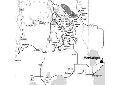
Primary access is off Forest Roads 2218 and 2436, with secondary access depending on which site is chosen. From the Intersection of US-2 and Forest Highway 13 (about 14 miles east of Rapid River), drive north 8.4 miles on Highway 13 to CR 442. Turn right (east) and drive 8 miles to FR 2218. Turn left (north) and drive 1.5 miles to the access to site #1. For sites 2-10 drive 1.4 miles from the intersection of CR 442 and FR 2218 to FR 2880. Turn right (east) and drive to the campsites.
Phone
906-474-6442 OR 906-387-2512
Activities
CAMPING
Keywords
Dispersed campsites,Manistique,Rapid River,lyman lake,swan lake,bass lake,bear lake,camp cook,carr lake,chicago lake,clear lake,crooked lake,east lake,gooseneck lake,ironjaw lake,jackpine lake,lake nineteen,leg lake,little bass lake,minerva lake,mowe lake
Related Link(s)
Michigan State Road Conditions
Overview
The campsites on the Rapid River/Manistique Ranger District are located on inland lakes and are in a rustic forest environment with few, if any amenities. The rustic environment offers a wonderfully serene and peaceful setting for your next camping experience.
Recreation
Visitors will be able to enjoy swimming, berry picking, and fishing at these campsites. Licenses are required for fishing in Michigan waters. Some of these campsites offer only one site on these inland lakes allowing for a very peaceful and wilderness-like experience.
Facilities
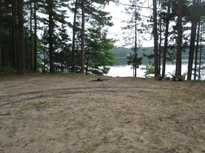
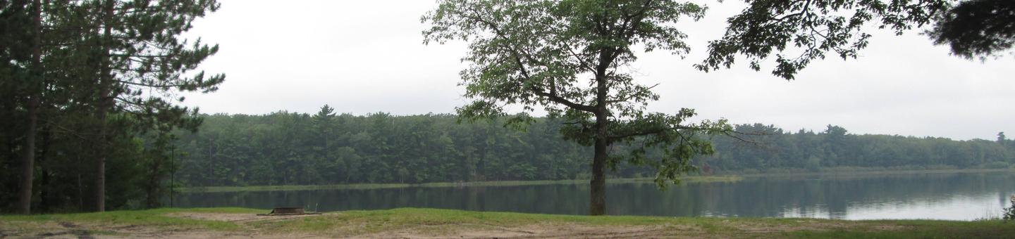
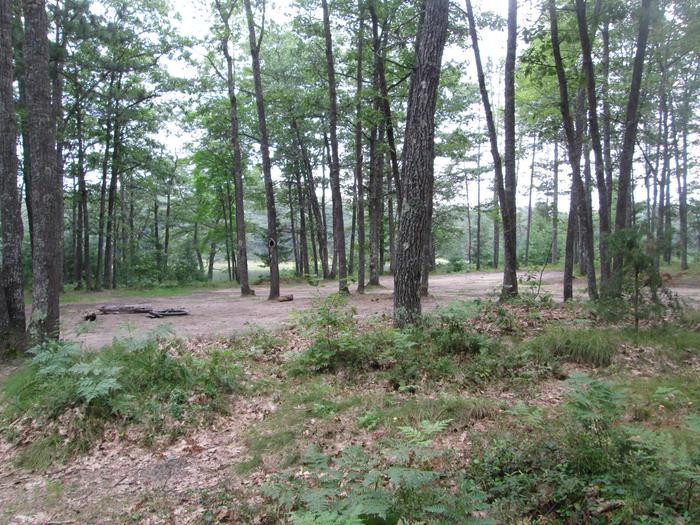
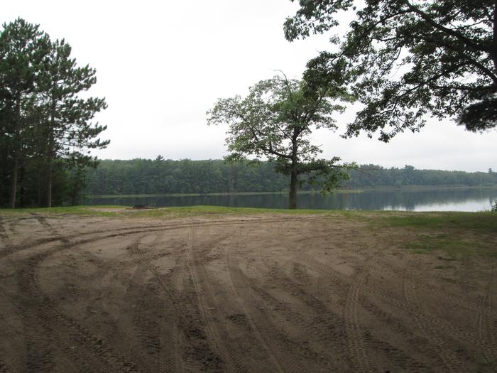
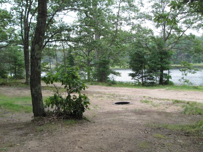
With 10 primitive campsites lining this 67 acre lake, Lyman Lake can be quite busy! No drinking water is available, but primitive toilets can be found at several of the campsites. Lyman Lake supports good numbers of bluegill, pumpkinseed, rock bass, largemouth bass and northern pike. There is a back-in boat access, with parking, located between sites #6 and #7. Site #1 is small, wooded area 35 ft. by 25 ft. in size. It has good road access. This site is suitable for one family and a small trailer. Access to the lake is steep, but a stairway is provided. Site #2 is a level area 40 ft. by 30 ft. in size and suitable for two families and trailers. Access to the lake is steep, but a stairway is provided. Site #3 is in an open area, 75 ft. by 70 ft. and is suitable for two families with trailers. A primitive toilet has been provided at this site. Site #4 is 40 ft. by 40 ft. and very wooded. This site can accommodate two families with trailers, but turn-around space is very limited. A primitive toilet has been provided at this site. Site #5 is a large area, 75 ft. by 60 ft., with good road access. It is suitable for three families and trailers. A primitive toilet has been provided at this site. Site #6 is large, 75 ft. by 50 ft., but the ground slopes, making it difficult for trailers. This site is suitable for two families. Turning radius is very limited. Site #7 is 45 ft. by 35 ft. and is on a slope. It is suitable for one family. Tents are recommended at this site. Site #8 is wooded, 55 ft. by 35 ft. and is situated on a hill overlooking the lake. The site is level and suitable for two families and trailers. A primitive toilet is located at this site. Site #9 is wooded, 80 ft. by 40 ft. and on a hill overlooking the lake. The site is level and suitable for two families and trailers. Turn-around space is limited. A primitive toilet has been provided at this site. Site #10 is in a wooded area, 50 ft. by 30 ft. and overlooks the lake. It is isolated from the other campsites and has a separate access road. This site is suitable for one family. Good swimming areas can be found at sites #2, #3, and #5. Sites #4 and #6 have fair swimming areas, while swimming is considered to be poor at sites #1, #7, #8, #9 and #10. Groceries, gasoline, fishing and camping supplies, ice, and deli are available seven miles northeast on County Road 437 in the Thunder Lake Area. Lake Name Number of Sites Maximum number of people per site Toilets Boat Access Lake Size (acres) Lyman Lake 10 Site 1, 7, 10 (8) Sites 2-4, 6, 8, 9 (16) Site 5 (24) Yes BI 67
Natural Features
All of these sites are nestled in hardwood trees and pines. All of them are on small inland lakes, which offer a wide variety of fishing opportunities. There is one exception; Camp Cook, which is close to the Fishdam River and provides opportunities for good brook trout fishing.
Nearby Attractions
There are a number of horse, bike, and hiking trails within minutes of several of the sites. In over a mile from these campsites, visitors can expect to find: bait shops, general and grocery stores, gas, a pay phone, trailheads, a fishing pier, biking, and kayak/canoe rentals.