
Directions
From Highway 11 in Barnsdall, Oklahoma, take a left onto West Chestnut Avenue and go 0.2 miles. Take a left on South Eighth Street and go 1.5 miles south. Take a right into the Twin Cove Point facility.
Phone
918-847-2220
Activities
BOATING, CAMPING, FISHING, HUNTING, SWIMMING SITE
Keywords
Related Link(s)
Oklahoma State Road Conditions
Overview
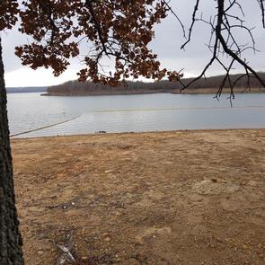
Twin Cove Point is a day-use area located at Birch Lake in Osage County, Oklahoma.
Cradled in valleys surrounded by rolling, forested hills, the lake is a perfect setting for nature lovers and other outdoor enthusiasts.
The lake is small yet scenic and offers several excellent outdoor recreational opportunities for year-round enjoyment, such as fishing, boating, swimming, horseback riding and picnicking.
Recreation
Birch Lake is popular for fishing and hunting, as well as family fun and relaxation.
Fish species available for the angler include largemouth bass, walleye, spotted bass, smallmouth bass, hybrid striped bass, black and white crappie, channel and flathead catfish and sunfish.
Principal game species for hunting enthusiasts include bobwhite quail, mourning dove, fox squirrel, gray squirrel, cottontail rabbit and whitetail deer.
Facilities
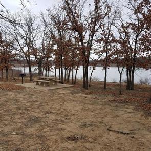
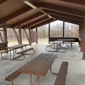
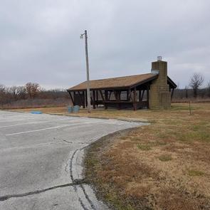
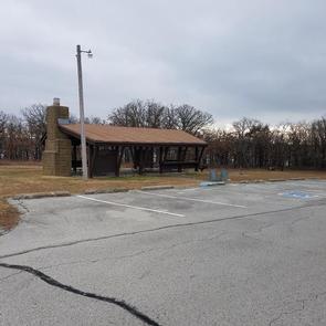
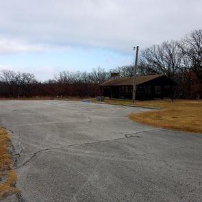
This day-use area offers three group picnic shelters that can accommodate up to 30 people. With a boat ramp, courtesy dock, playground, as well as a swim beach, Twin Cove Point has something for everyone. There are 11 primitive campsites which are not available for advanced reservations but available during the parks normal operating season and there are also 40 picnic sites available on a first-come, first-served basis.
Natural Features
Twin Cove Point is a diverse multipurpose area, and most sites have a mix of sun and shade. The 1,137-acre lake is part of Birch Creek, a tributary of Bird Creek.
The shoreline ranges from gentle to steep slopes with numerous rock outcrops. The hilltops and upper slopes are generously forested with small hardwood trees, primarily post oak, blackjack, other oaks, hickory, hackberry and elm.
Numerous species of grasses and wildflowers bloom in spring and fall. Forests, tallgrass prairie and shrub ecosystems surround the lake area.