
Directions
Go east from Cedar City on Scenic Byway SR 14, 25 miles to the Navajo Lake road turnoff to the south. Follow the Navajo Lake road 7 miles to Spruces campground.
Phone
801-226-3564
Activities
BIKING, BOATING, CAMPING, FISHING, HIKING, WILDLIFE VIEWING, PHOTOGRAPHY, MOUNTAIN BIKING, KAYAKING, CANOEING, WATER ACCESS, SCENIC DRIVE
Keywords
Related Link(s)
Overview
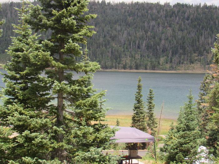
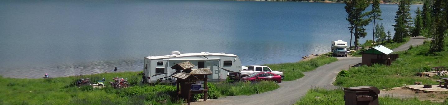
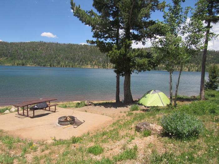
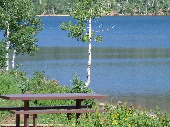
Spruces Campground sits on the south shore of Navajo Lake, it provides a spectacular setting for boating, canoeing, camping, fishing, wildlife viewing and photography. Take advantage of several outstanding hiking and biking trails or just relax and enjoy the cool, crisp mountain air. The popular Virgin Rim River Trail is located just a short 1/2 mile hike from the campground.
Recreation
Navajo Lake offers canoeing, kayaking and fishing opportunitites. Hiking and biking are popular activities as well. Close to the nearby national parks such as Bryce Canyon, Zions and Cedar Breaks National Monument.
Facilities
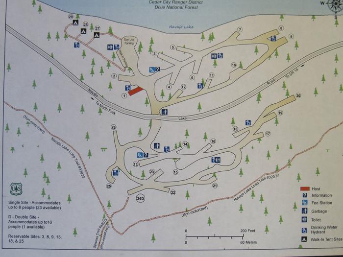
The campground offers 24 single sites, one double site, and three walk-in sites, all with picnic tables and fire rings. Flush toilets, drinking water and garbage receptacles are located in this campground.
OHV/ATV’s including street legal are allowed in the campground for ingress and egress (to and from you campsite to the road and back) only. Joy riding is not allowed within the campground. OHV/ATV’s are not allowed on the beach.
Natural Features
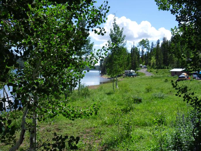
Nestled on the edge of Navajo Lake and nearby meadow, this campground offers views of the surrounding area and lake access.
Nearby Attractions
Boat rentals, a boat ramp, rustic cabin lodging and supplies are available at nearby Navajo Lake Lodge. Duck Creek Pond is seven miles east with excellent fishing as well as a the Duck Creek visitor center.
Cedar Breaks National Monument is a short 20 minute drive, with hiking trails, guided tours and breathtaking scenery.
Just outside Cedar Breaks is the Ashdown Gorge Wilderness Area, where hikers will find miles of trails and the Twisted Forest trail, a stand of ancient bristlecone pine.