Hittle Bottom Group Site, UT Campground Reservation, Info, Images, Map, Directions

Hittle Bottom Group Site, Utah Campground Images, Info & Reservations

Directions

From Moab, drive north to the junction with Highway 128. Drive 23 miles on highway 128 to the entrance to Hittle Bottom campground. The group site is located on the north end of the campground, just past the main entrance.

Phone

(435)259-2100

Activities

BIKING, BOATING, CAMPING, HIKING, PHOTOGRAPHY, PADDLING, WATER ACTIVITIES, KAYAKING, CANOEING, STAR GAZING, NON-MOTORIZED BOATING, WATER ACCESS, SCENIC DRIVE, RAFTING, RIVER TRIPS, WHITEWATER RAFTING

Keywords

None

Related Link(s)

Rec Area Info & Images

Overview

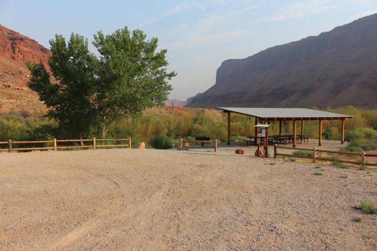
Hittle Bottom Campground is located on the banks of the Colorado River and is a popular launch site for river trips. The group site is ideal for small family or school gatherings. Within close proximity to national parks and open space, outdoor enthusiasts will enjoy hiking, mountain biking, whitewater rafting, and four-wheel drive tours in the surrounding area. The town of Moab is approximately 45 minutes away and has dining, shopping, sports rentals, tour companies and museums.

Recreation

This site is a popular launch site for river running and close to hiking, mountain biking and four-wheel driving opportunities. The river corridor is filled with canyons, trails and scenic vistas. Arches and Canyonlands National Parks are nearby and have many hiking trails and four-wheel drive roads.

Facilities

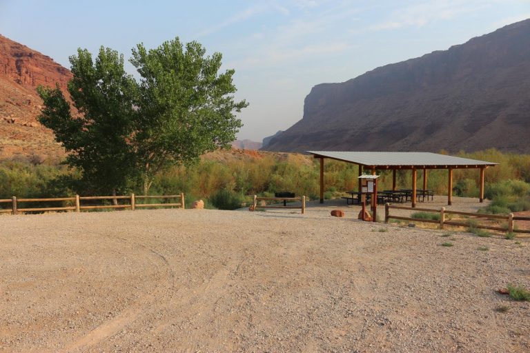
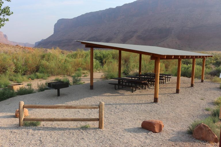
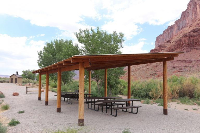
The group site has fire grates, picnic tables, vault toilets and a shade shelter. The group site does not have water, dump stations or electric hook ups. A boat ramp is in the main campground.

Natural Features

Hittle Bottom is located along scenic Highway 128. The views from the campsite are striking and include Fisher Towers, Professor Valley and the Colorado River.

Nearby Attractions

There are many hiking, mountain biking and four-wheel drive trails along Hwy. 128. The Fisher Towers area offers hiking, rock climbing, and scenic vistas. Hittle Bottom is about 45 minutes from Arches National park and one hour from Canyonlands National Park.

Reservation

More from CampingHiking.net:

DEEP BAY CABIN, Alaska Campground Images, Info & Reservations

Directions Deep Bay Cabin is located on the south end of Deep Bay on the northeast corner of Zarembo Island. The cabin is a short walk from Deep Bay and about 1/4 mile from Roosevelt Harbor just off of the Zarembo Beach Road FSR 6590. The cabin is only accessible

PRINTER BOY, Colorado Campground Images, Info & Reservations

Directions From Leadville, Colorado, drive west on County Road 4 and follow signs to the Turquoise Lake Recreation Area. Phone 719-486-0749 (FOR INFORMATION ONLY. NO RESERVATIONS.) Activities BOATING, CAMPING, FISHING, HIKING Keywords PRIN,PIKE AND SAN ISABEL NF- FS Related Link(s) Rec Area Info & Images Forest Service Concessionaire Colorado State

PICNIC POINT (ID), Idaho Campground Images, Info & Reservations

Directions From Cascade, turn east on Warm Lake Highway. Travel approximately 26 miles along the paved road to Forest Road 489 and turn south. Continue about a half-mile past the Shoreline Campground and North Shore Lodge. The campground will be located just past the lodge, on the left side of

MOUND VALLEY, Kansas Campground Images, Info & Reservations

Directions From Cherryvale, Kansas, take U.S. Highway 169 and turn east onto Main Street. Continue through the town and turn right onto Olive Street. Go 1/2 a block and turn left onto County Route 5000. Proceed 4.5 miles to Big Hill Lake and follow signs to Mound Valley. Phone 620-328-2050

ANNA CREEK CABIN, Montana Campground Images, Info & Reservations

Directions Anna Creek Cabin is located 30 miles from Hungry Horse, MT on the West Side Hungry Horse Reservoir Road (895). From Hungry Horse, turn south on Road 895, cross the Hungry Horse Dam and continue 29 miles on the west side of Hungry Horse Reservoir to the cabin. The

SPRING, Oregon Campground Images, Info & Reservations

Directions From Crescent, Oregon, travel 12.2 miles west on Road 61, then 3.5 miles north on Highway 58, then 8.1 miles west on Road 60 to the campground. Phone 541-323-1746 Activities BIKING, BOATING, CAMPING, FISHING, HIKING, VISITOR CENTER, WATER SPORTS, SWIMMING SITE Keywords None Related Link(s) Rec Area Info &